Places Foods Stories Newsletters
Loading...
Loading...
Loading...

No search results found for
“”

Make sure words are spelled correctly.

Try searching for a travel destination.

Places near me Random place

Popular Destinations

  • Paris
  • London
  • New York
  • Berlin
  • Rome
  • Los Angeles
Places Foods Stories Newsletters
Sign In Join
All the United Kingdom England Dorset Cursus

Dorset Cursus

A pair of neolithic earthworks stretch discretely across the West Country landscape for over 6 miles.

England

C cdanesh profile photo
Added By
cdanesh
Email
Been Here
Want to go
Added to list
CAPTION
Bank by the B3081   Jim Champion
Southwestern terminus   Jim Champion
Long Barrow at Salisbury Plantation   Jim Champion
Visible soilmarks   Jim Champion
Diagram   Jim Champion
Been Here
Want to go
Added to list

About

Cursuses are among the largest yet most difficult to notice structures of Neolithic Britain and Ireland. Built exclusively in these areas from 3400 to 3000 BCE, they are pairs of earthworks surrounded by ditches and trenches, separated by up to 100 yards and stretching as much as 6 miles long. Their exact purpose remains unknown, but judging from their placement with regard to funeral long barrows, they may have been used to venerate ancestors. Alternatively, they may have been used for ceremonial competitions or journeys, or served an astronomical purpose.

The Dorset Cursus is the longest cursus ever found, snaking for 6.25 miles across the Cranborne Chase hills. Actually two different cursuses linked together head-to-head, its path seems to ignore natural features of the landscape. Dating from 3300 BCE, it likely shares a common ritual purpose with nearby longbarrows, including some on either end. Only fragments of it are visible from the ground, with other features identifiable from cropmarks on aerial images  and some portions having disappeared altogether.

Places

Discover your next amazing Atlas Place.

Get more unusual and extraordinary places each week with the Atlas Obscura Places newsletter.

Your newsletter subscriptions with us are subject to Atlas Obscura's Privacy Policy and Terms of Use.

Know Before You Go

Portions of the Dorset Cursus which are still visible include: a longbarrow at Salisbury Plantation (50° 57′ 5.5″ N, 1° 57′ 56.81″ W), a bank by the B3081 Road (50° 56′ 39.61″ N, 1° 58′ 27.58″ W), and the termini at Thickthorn Down (50° 54′ 39.81″ N, 2° 2′ 43.67″ W) and Martin Down (50° 58′ 16.69″ N, 1° 56′ 39.86″ W).
Community Contributors

C cdanesh profile photo

Added By

cdanesh

Dorset Cursus
England
United Kingdom
50.94616, -1.978961

Nearby Places

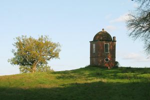
Philosopher's Tower

Wimborne Saint Giles, England

miles away

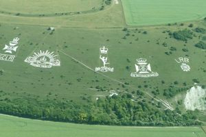
Fovant Badges

Fovant, England

miles away

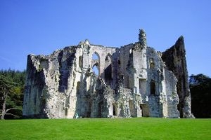
Old Wardour Castle

Tisbury, England

miles away

Explore the Destination Guide

Photo of England

England

United Kingdom

Places 2,548
Stories 145

Nearby Places

Philosopher's Tower

Wimborne Saint Giles, England

miles away

Fovant Badges

Fovant, England

miles away

Old Wardour Castle

Tisbury, England

miles away

Explore the Destination Guide

Photo of England

England

United Kingdom

Places 2,548
Stories 145
Aerial image of Vietnam, displaying the picturesque rice terraces, characterized by their layered, verdant fields.
Atlas Obscura Membership

Become an Atlas Obscura Member


Join our community of curious explorers.

Become a Member

Get Our Email Newsletter

Follow Us

Facebook YouTube TikTok Instagram Pinterest RSS Feed

Get the app

Download the App
Download on the Apple App Store Get it on Google Play
  • All Places
  • Latest Places
  • Most Popular
  • Places to Eat
  • Random
  • Nearby
  • Add a Place
  • Stories
  • Food & Drink
  • Itineraries
  • Lists
  • Video
  • Podcast
  • Newsletters
  • All Trips
  • Membership
  • Feedback & Ideas
  • Community Guidelines
  • Product Blog
  • Unique Gifts
  • Work With Us
  • About
  • FAQ
  • Advertise With Us
  • Advertising Guidelines
  • Privacy Policy
  • Cookie Policy
  • Terms of Use
Atlas Obscura

© 2026 Atlas Obscura. All Rights Reserved.