Whitefish Island
Amid rushing rapids, this small bit of land is an important First Nations site on border between Canada and the United States.

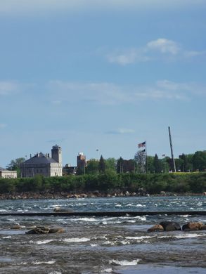
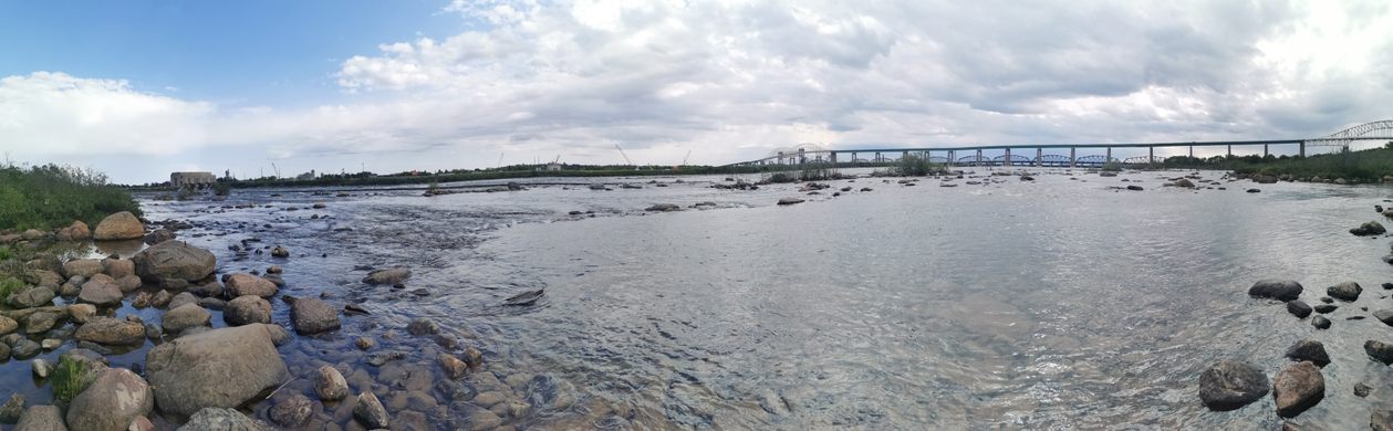

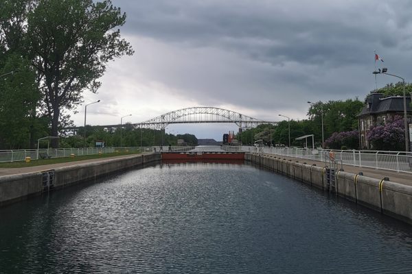
The trailhead leading to Whitefish Island is located next to the Sault Canal Locks. It’s easy to miss if you don’t know it’s there. Embarking down the unassuming path south of Lake Superior’s exit from the locks, you will find Whitefish Island. This tear-shaped island sitting on the edge of the Canada-U.S. border measures just one kilometer long and 500 meters wide.
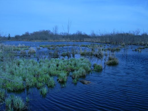
Evidence of Indigenous settlements on Whitefish Island dates back to around 300 B.C. This small piece of land sits on St. Mary’s River, in between Lakes Huron and Superior. The rushing rapids nearby supported a large fish population with trout, salmon, and the whitefish that the island is named for. Whitefish Island was home to an important Anishinaabe settlement that served as a trading post for the Indigenous people of the Great Lakes.
After the arrival of European settlers, Whitefish Island remained an important fishery and trade site. Through the 19th century, the land was recognized as belonging to the Batchewana First Nation of Ojibways. But around the turn of the 20th century, the island was expropriated under the Railway Act. By 1906, the Indigenous residents of Whitefish Island had been forced to leave their homes and relocate their traditional burial grounds.
In 1980, the Batchewana First Nation filed a claim to the land of Whitefish Island, kicking off a lengthy legal process. After nine years of unsuccessful negotiations, Chief Edward James Sayers Nebenaigoching began an occupation of the island that lasted until the claim was recognized. In 1998, it was officially recognized as the Whitefish Island Reserve of the Batchewana First Nation.
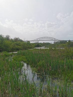
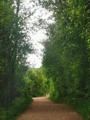
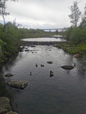
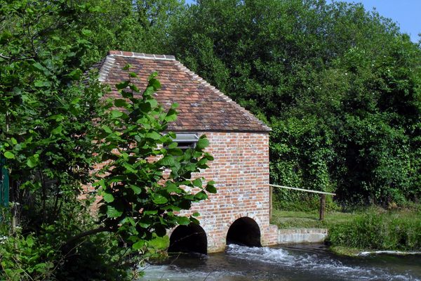
The 2.2-kilometer Attikamek Trail is open to the public. (Attikamek is the word for whitefish in the Ojibwe language.) You will often see people fishing for whitefish along the route, several beaver dams, and an abundance of flora and fauna. the trails are beautiful, but the payoff is a lookout at the end of the path where you can feel the power of the rapids.
Know Before You Go
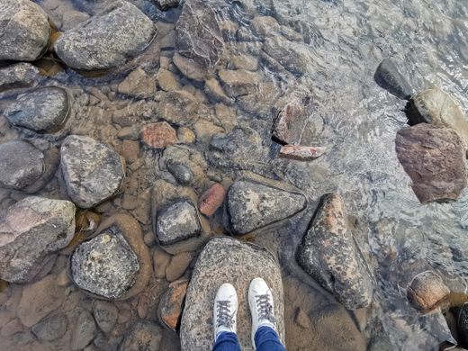
The trail is an easy hike, with well-cleared paths and boardwalks built over marshes.
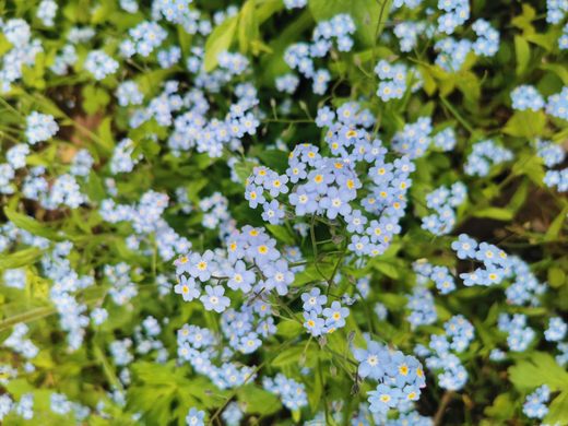
In June, the island is densely covered in blooming, blue Forget Me Not flowers.


Plan Your Trip
The Atlas Obscura Podcast is Back!


Follow us on Twitter to get the latest on the world's hidden wonders.
Like us on Facebook to get the latest on the world's hidden wonders.
Follow us on Twitter Like us on Facebook