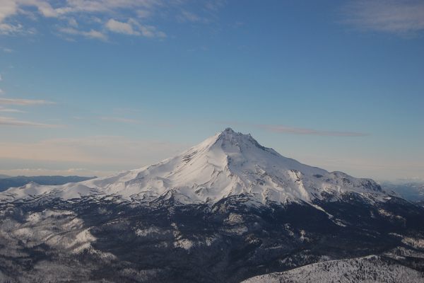
Boundary Peak
The highest point in Nevada had to be decided by court order after California tried to claim it as their own.


It took the Supreme Court to determine that this peak in Nevada is the state’s highest point, thanks to 19th century surveying margins of error.
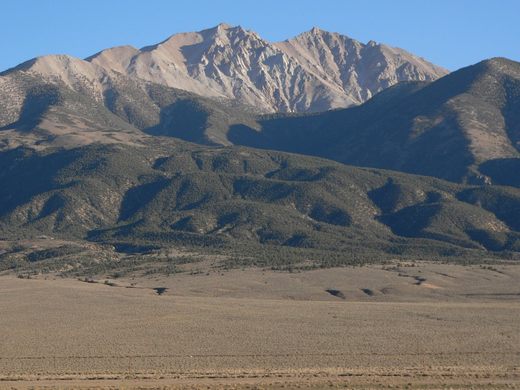
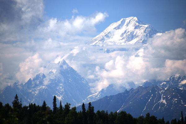
The Von Schmidt Line, the diagonal line that starts at Lake Tahoe and ends at the Fort Mojave Indian Reservation named after its surveyor, cuts across a saddle on a mountain with two peaks. The eastern peak is Boundary Peak, the highest point in Nevada at 13,147 feet above sea level. The western peak is Montgomery Peak at 294 feet higher. However, the imprecise nature of the original survey and later resurveys led to disagreement over where the line really is on the ground. The now ghost town of Aurora elected two sets of officials in 1863, one for California and one for Nevada Territory because it was uncertain which side of the line they were on.
There were continuing disputes between California and Nevada until 1977 when California filed a lawsuit against Nevada to firmly establish the line on the ground. California v. Nevada had far ranging implications for the municipalities along the line as well as the casinos near Lake Tahoe, which might find themselves in California and thus be suddenly illegal. The Supreme Court ruled that the Von Schmidt Line was the official boundary in 1980, settling all disputes, and putting Boundary Peak and Aurora in Nevada. If the line was moved a bit eastward as per California v. Nevada, Wheeler Peak in the Great Basin National Park would be Nevada’s highest point.
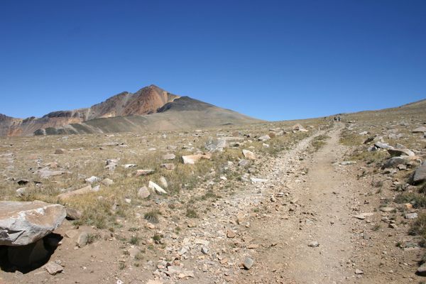
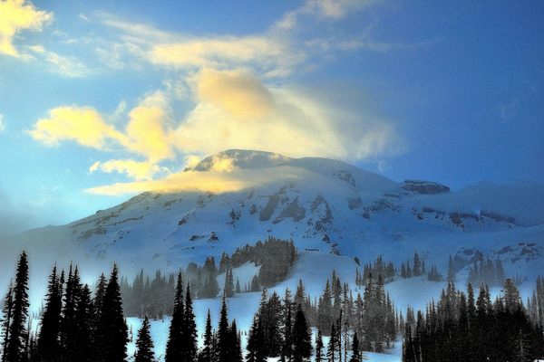
Boundary Peak is in the deserts near Death Valley, so climbers should come prepared with plenty of water and maps and a compass to stay on trail. Going off trail in this area could mean extremely hot days or extremely cold nights while waiting for a very expensive rescue. The Queen Mine Route starts near two abandoned mine shafts and winds for three miles up the mountain, with scrambles up scree fields along the way.
Know Before You Go
From Route 6 near Bishop, CA, go south on Route 264 towards Dyer, NV, and turn west on Trail Canyon Road. This road may be only suitable for 4WD in parts, and weather may cause washes to flood. Park at the Queen Mine Route trailhead and hike 3 miles to the summit. Be prepared with more than adequate water, maps, and compass or GPS. Check with the White Mountain Ranger District in Bishop for trail and road conditions.
Community Contributors


The Atlas Obscura Podcast is Back!


Follow us on Twitter to get the latest on the world's hidden wonders.
Like us on Facebook to get the latest on the world's hidden wonders.
Follow us on Twitter Like us on Facebook