
Continuing with mileages measured east of the intersection of US-50 and Nevada SR-116 outside Fallon...
-
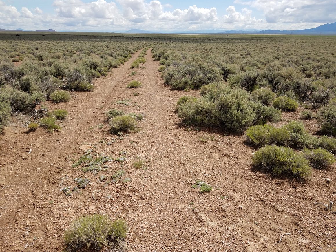
134.3 Junction with Dry Creek Road to the left. Through here the Pony Express trail is running parallel to US-50 a few miles north. Turn here and drive about 3.5 miles to intersect it, at about 39.50538 N, 116.69611 W.
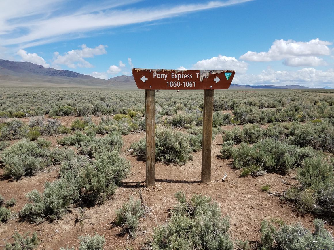
At the intersection with the old Pony Express trail.
-
144.9 Junction with Belmont Road on the right. From here you can sidetrip to the Geographic Center of Nevada, in about 13.8 miles. The site is about a mile off the road to the east. A high-clearance vehicle can drive partway, but the last 300 yards or so require hiking.
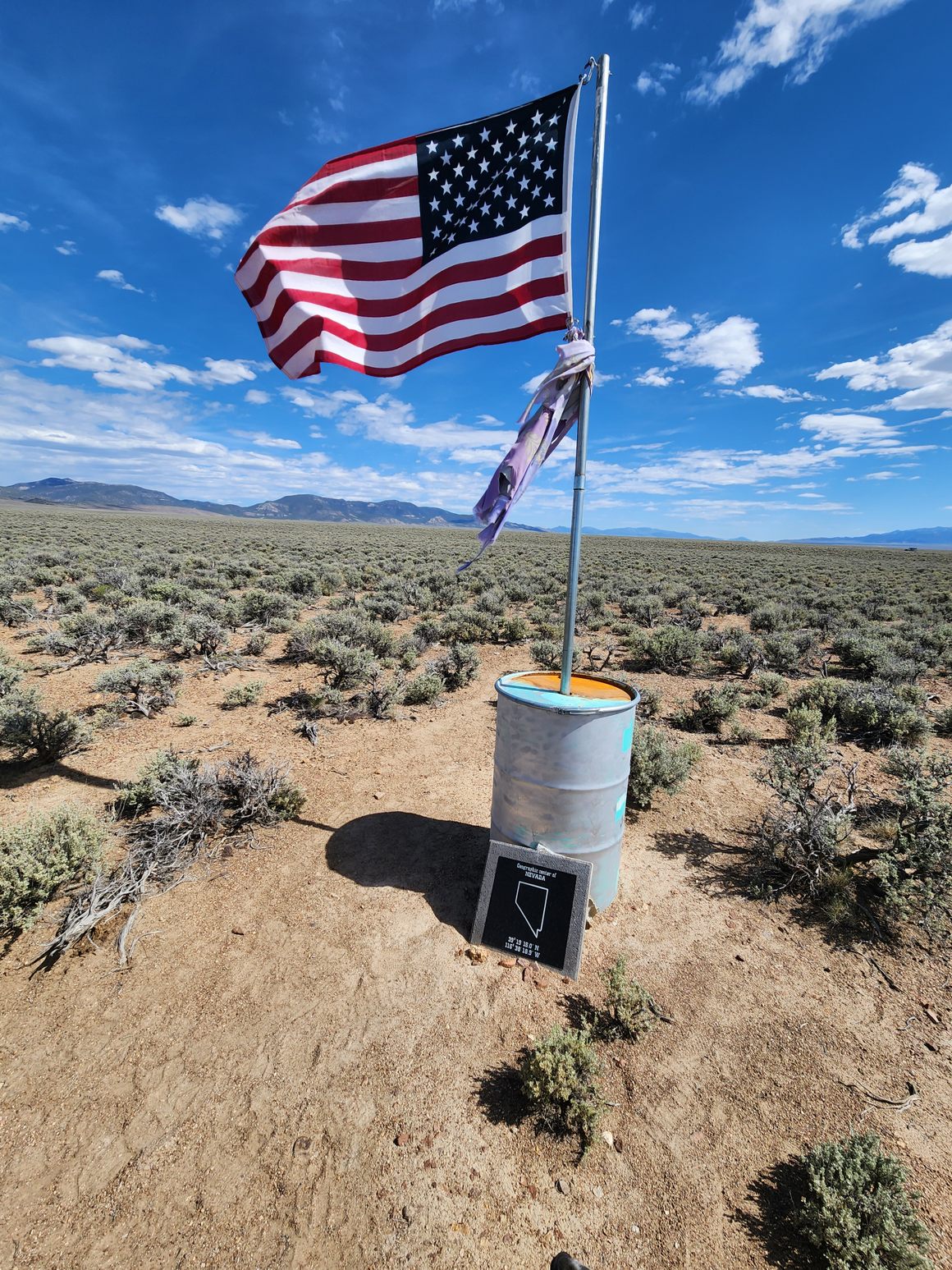
Monument at the Geographic Center of Nevada You can continue to the old Potts Ranch in another 17.7 miles. (Note that Potts Ranch is private; please respect any No Trespassing signs.) The turnoff to Diana’s Punch Bowl is another 5.2 miles. Belmont is another 35.5 miles from this turnoff. The main road is graded and should be easily passable by passenger cars in dry weather. The 1.2 mile leg into Diana's Punch Bowl, however, is likely to require high clearance.
-
174.4 Eureka Mining District interpretive sign.
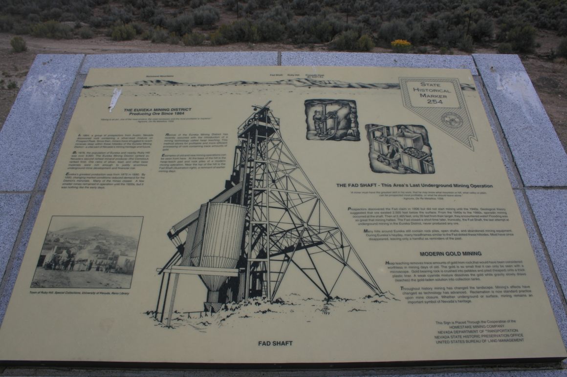
Interpretive sign on the Eureka Mining District. -
Lincoln Highway Marker right next to the interpretive sign.
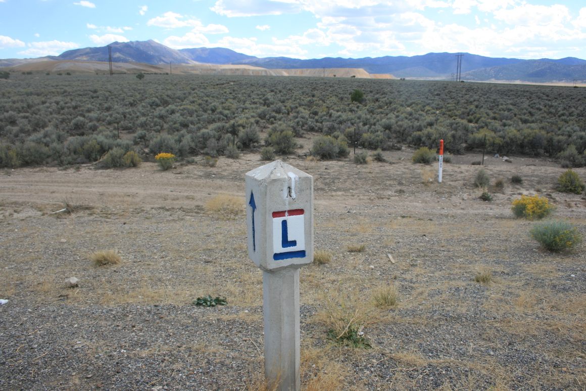
Lincoln Highway Marker at the interpretive sign. 178. As the sign notes, the original mining boom in Eureka dates to the 1860s. Unlike many mining towns, however, although activity waxed and waned over the years it never stopped completely. Currently Eureka is in the middle of another mining boom, with a large active gold mine to the west and south. Of course, the town still contains historical sites such as the Eureka County Court House and the Tannehill Cabin, said to be the oldest Euro-American structure in Eureka County. The Afterlife Antiques & Oddities store is also of interest. The downtown even still has a historic small-town main street vibe. Eureka has full services, with fuel, lodging, and even a grocery/department store.
182.8 Pinto Summit (7376 feet).
210.1 Junction with White Pine County Road 5 on the right. Turn here to go to the Belmont Mill. A branch off this road also provides a back way into Hamilton.
213.6 Little Antelope Summit (7438 feet).
-
219.1 USFS Rd 401 on the right. This is the main road to Hamilton, flagged with a historical marker across the highway. This road also leads to a turnoff for Illapah Reservoir Recreation Area, which includes a campground. Go 0.1 mile down USFS 401, then turn left and go 1.4 miles. The reservoir is stocked with trout by the Nevada Department of Wildlife. Check the Nevada Department of Wildlife website for details on fishing.
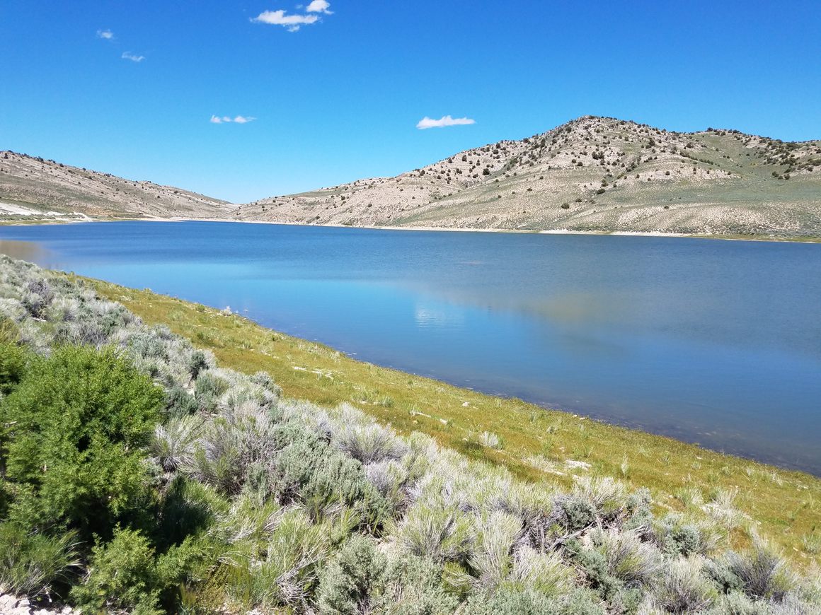
Illapah Reservoir 238.1 Robinson Summit (7607 feet), the highest pass on this stretch of US-50.
249.4 Pole Line Road (on left). This is the turnoff to the Garnet Hill Rockhound Area.
-
249.9 White Pine County Road 44A, the turnoff to Ruth, the original company town for the copper mining operations. The Nevada Copper Country Historical Marker is also here. To the south, the results of over a century of copper mining are obvious with the enormous excavations, spoil heaps, and leach pads dominating the skyline, as well as the scattered ruins of mining infrastructure.
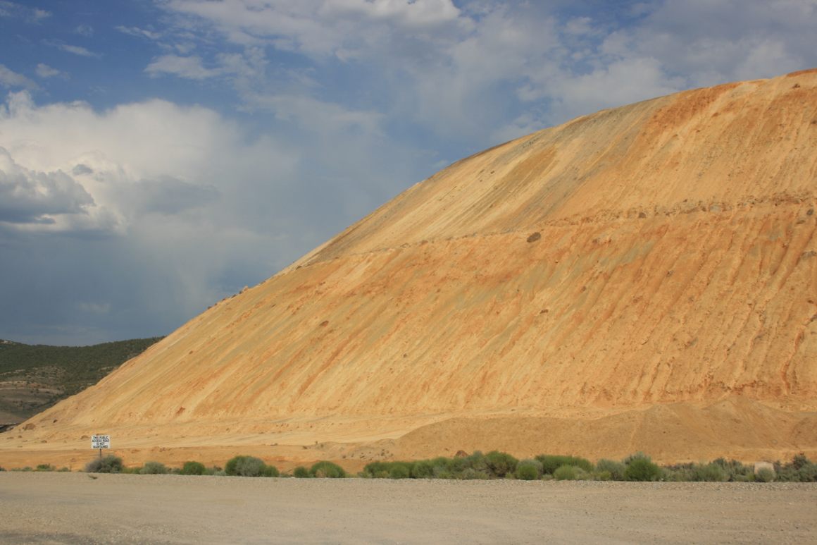
Spoil heaps off US-50 near Ruth. Bushes give scale. In fact, after intermittent operation since the late 1970s the mine is now booming again. In the past there was a publicly accessible overlook over the open pit, but the continued operations have eliminated it.
256.3 11th Street in Ely (again, pronounced "EE-lee"). Turn left here to go to the Northern Nevada Railway Museum, which is also the beginning point for train excursions. This railroad carried copper ore from the mine by Ruth to the smelter at McGill (up off US-93), and excursions run in both those directions from this station.
-
Ely itself did not start as a mining town—it began as another stop on the Overland Stage. The onset of copper mining in the early 20th century brought with it the boom/bust cycle, however, which—ironically--Ely has weathered better than most. The town is still bustling, not just with mining but tourism, and the Nevada Northern Railway is the now only survivor of the short-line railroads that used to provide a lifeline for every mining camp. The downtown, with its home-grown casinos and Old-Fashioned Soda Fountain, is widely regarded as a nostalgic echo of the “old Nevada,” and other historic structures, such as an early gas station and Pony Express memorabilia, dot the business district.
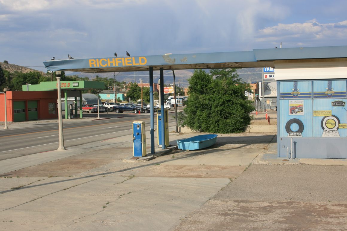
Historic gas station at the west edge of downtown Ely. -
The old smelter town of McGill is worth a sidetrip, not just for the Drugstore Museum but for the extensive smelter ruins. The Ward Charcoal Ovens are also worth a sidetrip, as is Cave Lake State Park. Again, check the Nevada Department of Wildlife website for fishing regulations at Cave Lake.
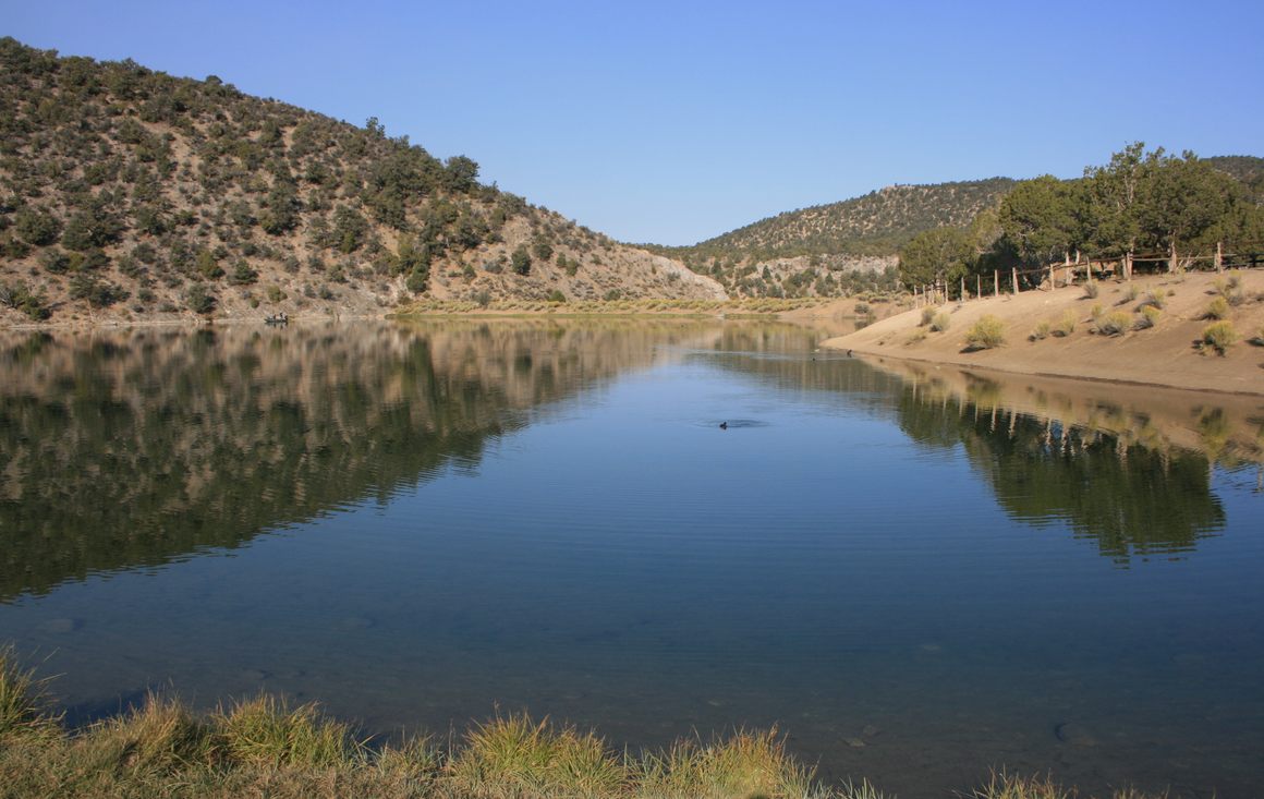
Cave Lake in the eponymous state park.
That magazine article from 1986, of course, greatly exaggerated the hazards of driving US-50. After all, the highway is paved, and it is patrolled both by the Nevada Highway Patrol and the local country sheriffs. But still, some precautions are prudent. Be sure your vehicle is in good mechanical condition, and bring a spare tire. Gasoline is available only in Fallon, Middlegate, Austin, Eureka, and Ely, and be sure to top off when you have a station available. Don't assume prices will be a few cents cheaper down the road--they won't be. Be especially sure to top off if you want to take sidetrips off the main highway. Note also that many of these side roads require at least high clearance and sometimes 4wd; be sure you have an adequate vehicle for what you want to do. Carvers, in Big Smoky Valley, also has gas and lodging, but they're not available on other side trips.
On US-50 itself, lodging is also available only in the towns listed above, as well as at Cold Springs, and advance reservations are highly recommended. Middlegate in particular has limited rooms available and they tend to be reserved months in advance. There are official primitive campgrounds at Bob Scott Summit (which is closed as of this writing for renovation), Hickison Summit, and Illipah Reservoir. Primitive camping ("boondocking") is available in the public lands along much of the highway, but be sure to have adequate equipment if you plan to camp there. Finally, realize that cell service will exist only in the vicinity of the larger towns. Carrying a satellite beacon is prudent especially off the main highway.
Combined US 6 and 50 continue on to Delta, Utah, and the road remains about as lonely. And US-6 west of Ely is even lonelier than US-50!
