AO Edited
Barsalloch Fort
A 2,000-year-old Iron Age fort offers stunning ocean views.
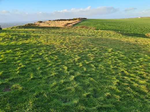
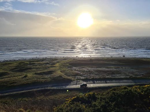
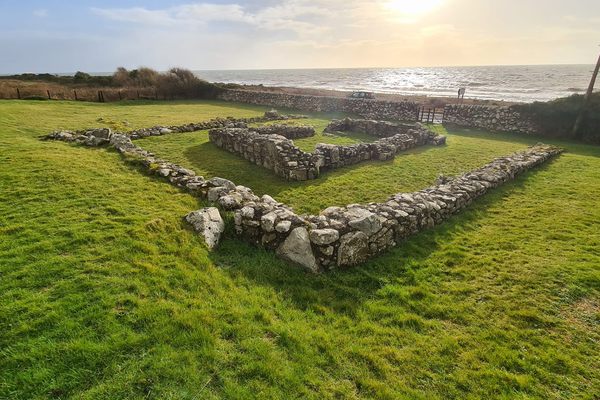
On the edge of a 100-foot tall cliff, a 2,000-year-old promontory fort known as Barsalloch Fort overlooks the sea towards the Mull of Galloway, the Isle of Man, and Northern Ireland.
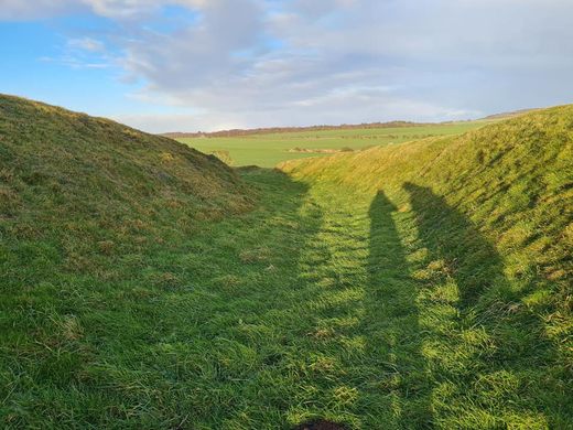
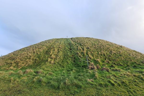
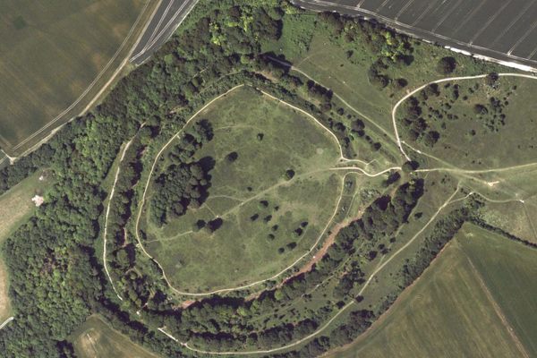
The fortified settlement is situated on a D-shaped bank surrounded by a ditch 33 feet wide and 11 feet deep. There’s also a protective earthen rampart three feet tall on either side. The entrance to the enclosure was located on the northeast side of the settlement.
The site at Barsalloch has never been excavated so there is no definite evidence as to its role or function. But archaeologists believe the site is most likely to have been a farming settlement. The enclosure would have possibly held two or three round houses, each one home to a single extended family of the Novantae Tribe. Very little is known of the Novantae people, with only one reliable historic reference in Claudius Ptolemy’s Geography, an account of the territories of the Roman Empire, written around 150. Since the site was in a defensible location it might have been the home of a tribal chieftain.
The Iron Age residents of Barsalloch would have grown grain and raised cows, sheep, and pigs. Hunting may have also supplemented their diet, as well as seabirds and shellfish.
Despite originally being a military fortification, today Barsalloch Fort’s appeal is in the ocean views it offers on a sunny Scottish day.
Know Before You Go
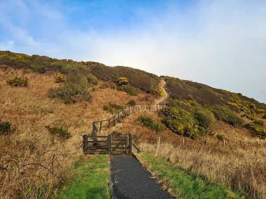
There's a place to pull off and park at the side of A747 at the bottom of the hill. The fort is near Monreith Bay Beach. The fort was closed for a time in 2022. To find out the most up-to-date information, visit the website.
Plan Your Trip
The Atlas Obscura Podcast is Back!






Follow us on Twitter to get the latest on the world's hidden wonders.
Like us on Facebook to get the latest on the world's hidden wonders.
Follow us on Twitter Like us on Facebook