Kaiser Quarry Ruins
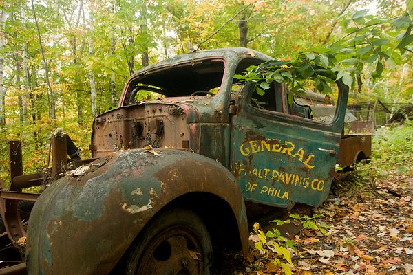
An abandoned car and strange wooden debris are among the scattered remains of the old sand and gravel quarry.
Visitors to the Sibley Volcanic Regional Preserve know it for its staggering geological history, incredible views, and the famous Mazzariello Labyrinth at the peak of Round Top Trail.
But not many know that the preserve was once used as a Kaiser Sand and Gravel quarry, during the boring of the Caldecott Tunnel between 1929 and 1937. The Mazzariello Labyrinth itself is located in an old quarry, which is why the earth around it is exposed.
In 1936, the quarry was transformed into one of the first three East Bay Regional Parks, Round Top Park. It remained as Round Top Park (named after Round Top peak, formed by volcanic debris) until 1958, when it was renamed Sibley Regional Volcanic Preserve in honor of Robert Sibley, one of the founders of the parks.
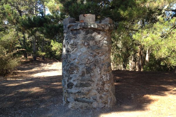
Today, a few scattered artifacts recall a time when the area was a bustling quarry. An abandoned 1971 Opel 1900 Sedan is gnawed away by the elements, likely the ruin of a tumble off the old quarry road years after it had been out of use. The road was later converted into a trail and some bits of the old concrete can still be made out as you walk the path.
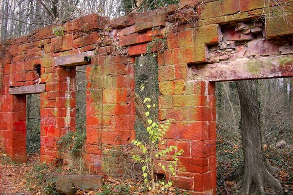
Farther down the trail is a type of wooden stable structure of uncertain origin, along with industrial debris including pipes, tin roofing, barrels, chairs, bits of ceramic and glass, and the remnants of past structures. There are also some spookier finds at the site, including pillows and stacked cow bones. Perhaps a werewolf curls up here at night?
Know Before You Go
From the Sibley Volcanic Regional Preserve Main Staging Area, take the western leg of the Skyline Trail toward Old Tunnel Road. Walk for about one mile and you will come to the ruins.
Community Contributors
Added by
Edited by
Plan Your Trip
The Atlas Obscura Podcast is Back!




Follow us on Twitter to get the latest on the world's hidden wonders.
Like us on Facebook to get the latest on the world's hidden wonders.
Follow us on Twitter Like us on Facebook