

About
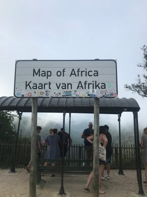
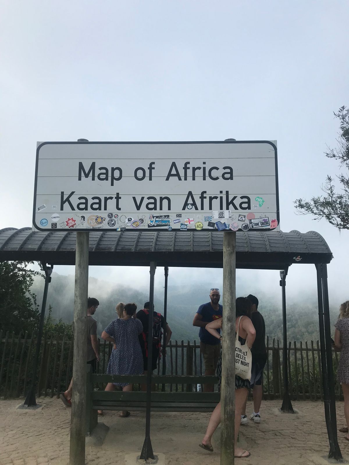
The Map of Africa is a naturally-occurring viewpoint situated in the hills northeast of the beach town of Wilderness, on the Western Cape.
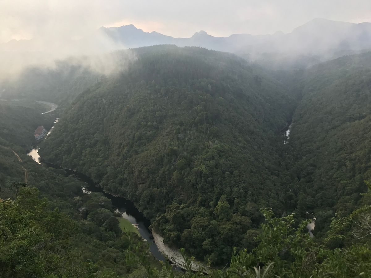
It can, in the right circumstances, be seen as a pretty good outline of the African continent, although some say it looks more like a crocodile's head. Regardless, it's a beautiful viewpoint overlooking the hills, forests, and rivers of the region.
A car is the best way to get to the viewpoint, although keep in mind that the roads are gravel. There are also no streetlights.
Related Tags
Know Before You Go
Follow Hoogte Rd north out of Wilderness, turn left on Whites Rd, and then take the first left onto Remskoen St. There's a sign marking the viewpoint on the left side of the road. Parking is available.
Community Contributors
Added By
Published
March 23, 2020