Normaal Amsterdams Peil (Amsterdam Ordnance Datum)
Europe's official "zero-level," the equator of elevation.
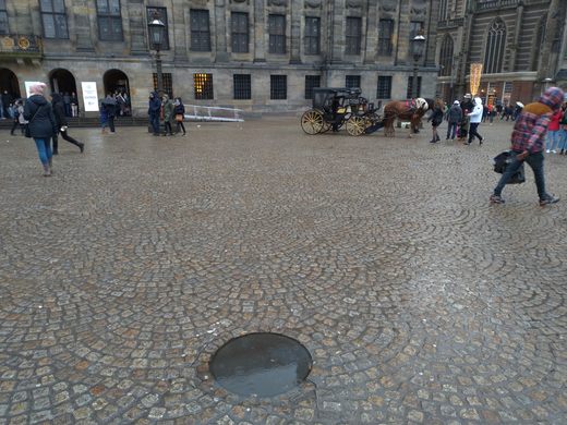
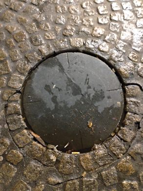
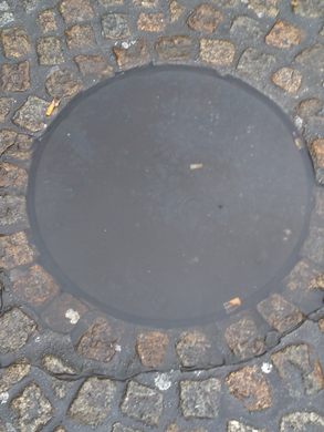
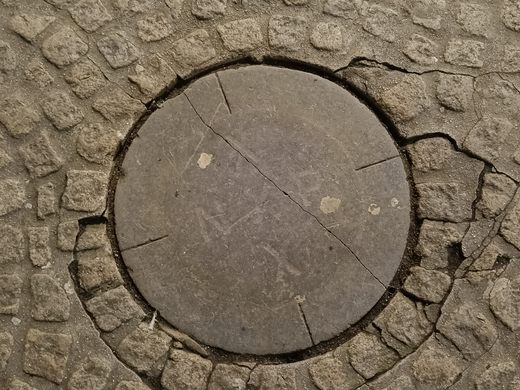
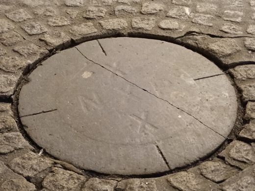
The infrastructure of Amsterdam all depends on a stone at the center of Dam Square. The stone caps a bolt that marks Amsterdam’s zero-level, or sea level, based on high tide in the summer of nearby Zuiderzee Bay. The reference point, called Amsterdam Ordnance Datum (which translates to Normaal Amsterdams Peil, or NAP), is the heart of the European network of national leveling networks. In other words, the NAP is the prime meridian of elevation.
Though you wouldn’t know it while walking around the city, much of Amsterdam lies below sea level. In the 17th century the city of Amsterdam was built on wooden piles on soft peat ground on sand. In 1953, flooding in the western Province of Zeeland reached nearly 15 feet above the NAP.
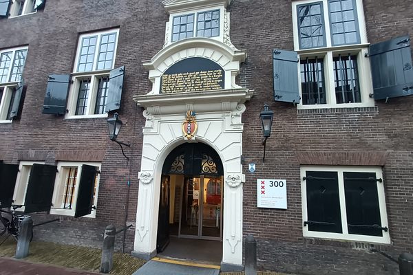
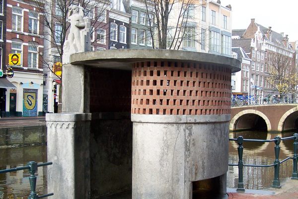
Measurements for the NAP were first taken in 1683 and 1684, and the point was originally indicated by a series of marker stones in various dikes and sluices in Amsterdam. Only one of these stones is still visible today, in the Eenhoornsluis. The bolt beneath Dam Square is generally not open to the public, but an exact replica is available to visit at the Stopera, which houses city hall and the Dutch National Opera and Ballet. The replica pole is surrounded by an exhibition and education room for the NAP, which displays various Victorian leveling instruments. Visitors can even try to carry out their own leveling survey with a leveling instrument provided in the exhibit.
Know Before You Go
The coverstone is freely accessible, but it is rarely lifted unless surveyors are there to work. The replica is open Monday through Friday from 9 a.m. to 6 p.m.
Plan Your Trip
The Atlas Obscura Podcast is Back!









Follow us on Twitter to get the latest on the world's hidden wonders.
Like us on Facebook to get the latest on the world's hidden wonders.
Follow us on Twitter Like us on Facebook