


About
In the 1970s, the area around Austin's Onion Creek was developed into subdivisions with thousands of single-family homes. At the time, southeast Austin was one of the few remaining areas of the city that hadn't seen any significant growth over the years. And as it turned out, that was for good reason. Due to mapping errors, many of the homes, went up in parts of the Onion Creek vicinity where 25-year floods are commonplace. It soon became clear that even the 25-year designation was incorrect.
The first major flood to hit Onion Creek arrived in 1998, spreading through more than 100 homes. Three years later a larger flood devastated the area, resulting in over 400 homes being flooded. When Hurricane Rita dropped a huge amount of rain on the Austin area in 2006, even more houses were drenched.
But none of these disasters compared to the catastrophic Halloween Flood of 2013, during which Austin received over 10 inches of rain during a single 24-hour period. Onion Creek rose by 11 feet in a mere 15 minutes and eventually hit an all-time high of 41 feet (topping a 1921 record by three feet). Water coursed through it at twice the velocity of Niagara Falls—enough to easily topple houses and trees, and move multi-ton objects like boulders and automobiles. The Halloween flood killed five people and damaged over 1,200 houses.
After the first major flood in 1998, city officials had signed an agreement with the U.S. Army Corps of Engineers to conduct a comprehensive study to determine whether FEMA's original maps for the area were generated in error. As it turned out, they were. Given the Onion Creek area's relatively inexpensive housing built almost entirely on slab foundations, the Army Corps concluded that the best course of action would be to buy out the homes in Onion Creek's most flood-prone areas.
After Hurricane Rita, the city acquired 114 properties using federal FEMA funds, and 209 more using additional sources of funding. The destruction from the 2013 flood spurred quick action on the city's part: Austin leaders scrambled to cobble together enough funds to acquire an additional 533 homes, most of which had already been severely damaged by the flood, with many beyond repair.
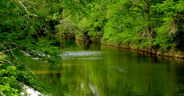
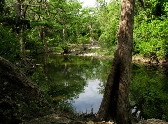
By 2018, the city had acquired more than 800 homes, though a few holdouts opted to keep their properties despite the flood risk. Nearly all of them were demolished. In 2019, the city decided to convert the 290 acres it had acquired over the previous 20 years into what is now known as the Onion Creek Metropolitan Park at Yarrabee Bend.
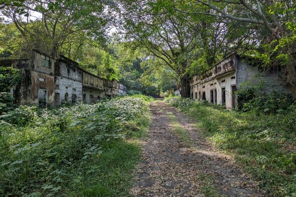
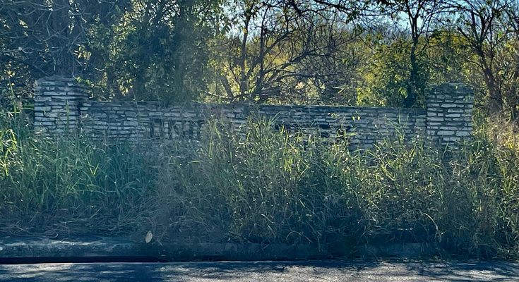
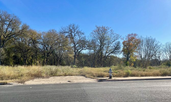
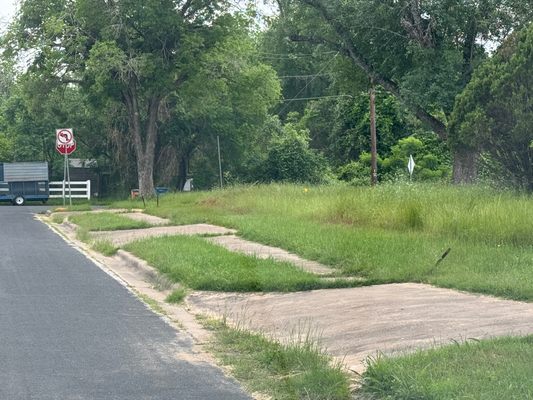
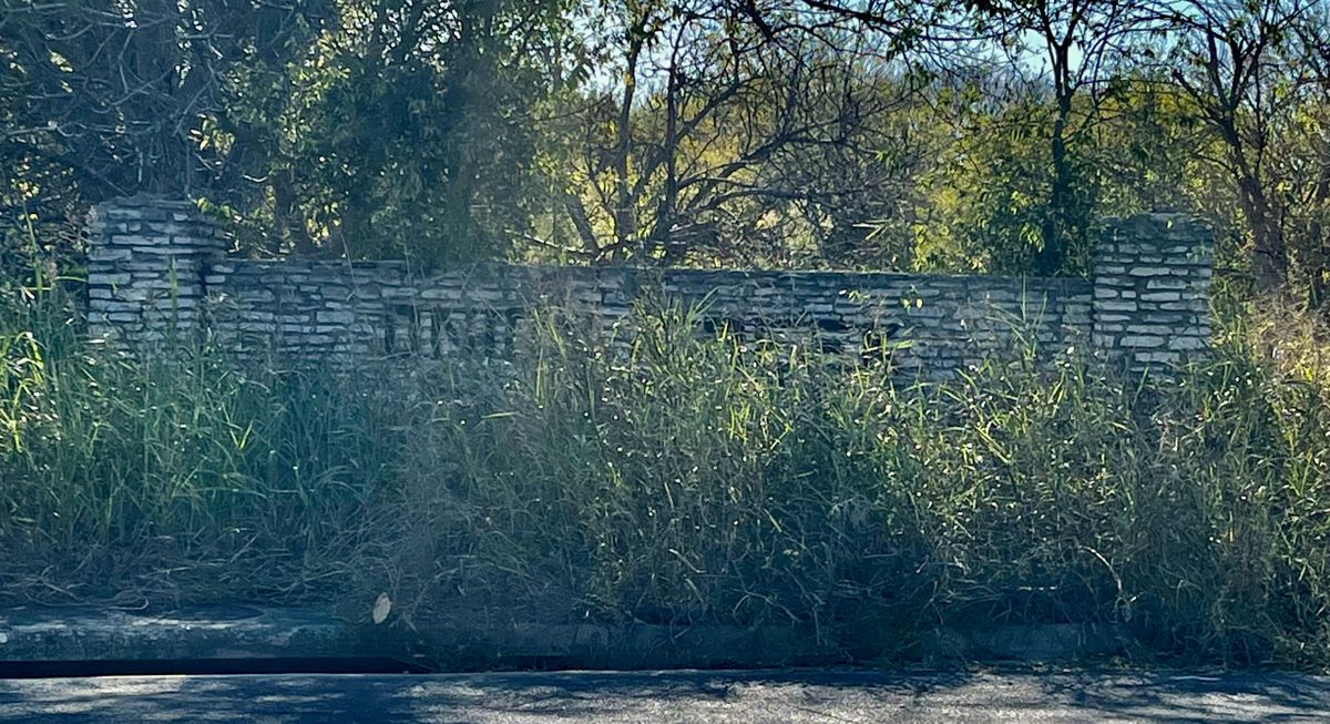
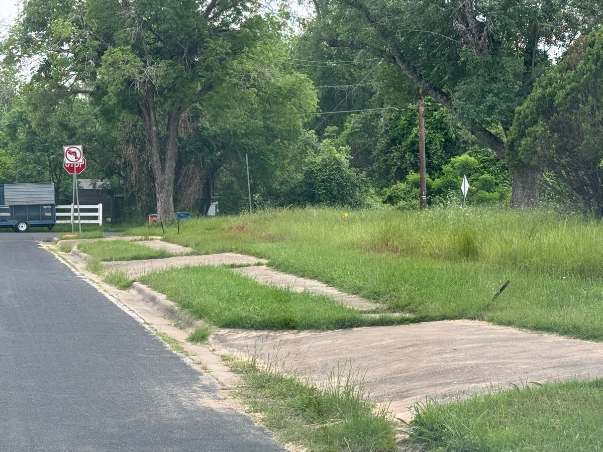
Still, given the bureaucratic difficulties involved in moving or destroying existing streets on a city grid, or even the "curb cuts" installed to facilitate vehicular entry to a home's driveway or garage, Onion Creek's "ghost streets" are both open to the public and plainly visible to this day. Starting at the gas station located at the intersection of William Cannon Dr. and Pleasant Valley Rd., head southward down the latter street. The first left turn, onto Onion Creek Dr., leads into the area's first section to be developed – and also the first to be acquired by the city and demolished. Just south of it, the Yarrabee Bend area is part of the section acquired and demolished after the Halloween 2013 flood.
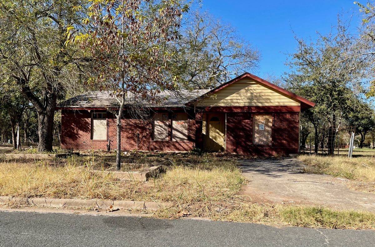
On the east side of the creek (accessible via William Cannon) – in the regrettably named Onion Creek Plantations subdivision, which includes streets such as Dixie Dr. – there's a mixture of empty lots where homes formerly stood, along with ones located just outside of the flood zone that look little-changed since their construction decades ago.
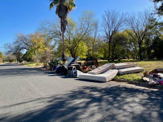
Despite the houses being bulldozed, city officials still have a lot of work to do in cleaning up these former residential neighborhoods. A number of the area's former residents planted non-native trees & plants: some, like bamboo, have grown in a largely uncontrolled manner, while others have simply died due to a lack of care or insufficient regular watering. The area gets little foot traffic at night, resulting in some persons illegally dumping refuse right along the streets, and it's had the safety concerns as every other local park stemming from parts of Austin's unhoused community that tried relocating to the vicinity, but concerns regarding the latter have largely abated now that the Austin Police Department has begun enforcing the city's ban on overnight camping once again.
Related Tags
Know Before You Go
Onion Creek Metropolitan Park is open to the public during the day, and includes a large wooded portion with plainly delineated trails and maps. Like all city parks, it's patrolled jointly by APD as well as dedicated park police.
For those planning to spend time walking or hiking in the area, it's advisable to wear sunscreen, carry a bottle of water, and take the usual precautions. The area is surrounded by residential housing on three sides, and the original Onion Creek golf course (now called the Roy Kizer Golf Course, and open to golfers who pay a greens fee) is located to its north. The ghost streets are popular with joggers who prefer running on pavement to dirt trails, given their sparse vehicular traffic in comparison with populated areas.
Published
February 23, 2023
Sources
- https://www.fema.gov/case-study/lower-onion-creek-flood-mitigation-buyout-project-gets-kudos-homeowners
- http://www.austintexas.gov/edims/document.cfm?id=110635
- https://www.kvue.com/article/news/defenders-destined-to-flood/269-615925368
- https://www.austinmonitor.com/stories/2019/07/one-year-later-the-new-life-of-the-old-onion-creek-flood-plain/