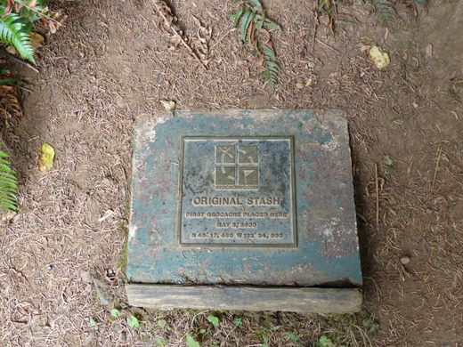
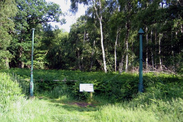
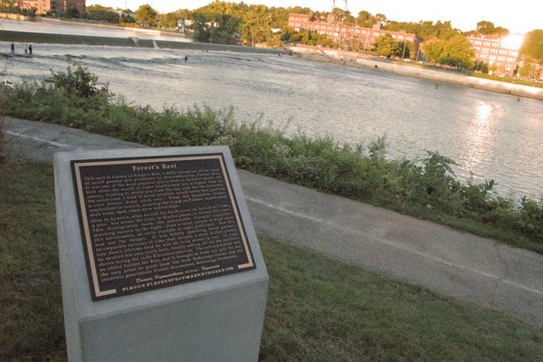
Original Stash Tribute Plaque
A plaque commemorates the spot in the Oregon woods where the first-ever Geocache was hidden.

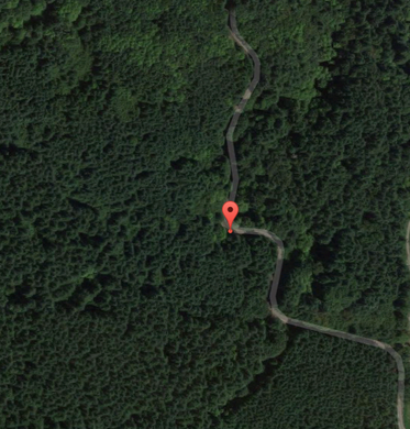
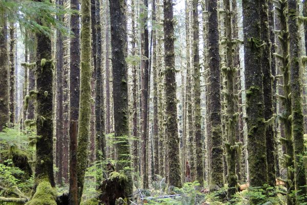
On May 3, 2000, a man named Dave Ulmer hiked out into the Oregon woods with a black bucket full of random objects, stashed it partly in the ground, marked its position with his Global Positioning System device, and dared fellow GPS users to find it. Thus, geocaching was born.
The inspiration had come the day before, when then-president Bill Clinton directed the discontinuation of Selective Availability, a GPS feature that had added intentional errors to public navigation signals to hinder their accuracy for security reasons. Ulmer wanted to test GPS’s new accuracy.
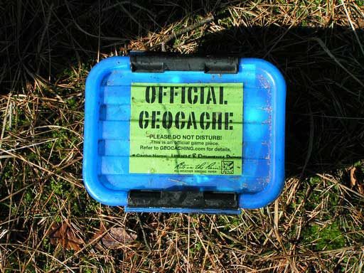
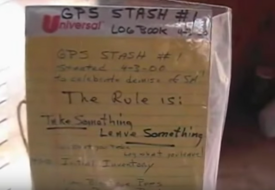
He placed two CD-ROMs, a book by Ross Perot, a VHS of the movie George of the Jungle, four dollars cash, a slingshot handle, a cassette tape recorder, some topographic software, and a can of black-eyed beans in a bucket, left it in the woods, and sent its coordinates (N 45° 17.460 W 122° 24.800) to sci.geo.satellite-nav. There was also a logbook with instructions: “The Rule Is: Take Something Leave Something.”
By May 6th, just a few days later, Mike Teague and one other GPS user had found the bucket. Teague was the only one of the two to log his discovery. He also took the four dollars and left a cassette tape, a pen, and a few cigarettes. Soon, others were finding Ulmer’s stash and hiding their own. Teague took to documenting the coordinates people were hiding things at, connecting with those people, and the “GPS Stash Hunt” mailing list was created.
The name “geocache” came about because users thought the word “stash” might give people the wrong impression about the activity. “Geocache” was assembled from the word “geo,” from the Greek for Earth, and “cache,” an 18th century word for a temporary hiding place, which had also, more recently, come to be used in reference to computer memory.
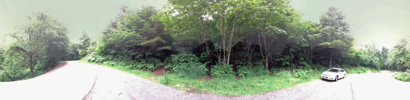
In 2003, a geocacher who goes by the name Team 360 raised money for a plaque to commemorate the location of that first cache, and installed it in the company of Ulmer and a few other geocachers. A new cache and a large logbook were placed nearby. The original bucket had been damaged by a lawnmower, but the original can of beans was unearthed during the installation. It was also in bad shape, but was fixed up and preserved; it travels around with Team 360, and geocachers line up and cheer for it.
Geocachers flock reverently to the site of the first stash, some even going so far as to kiss the plaque for luck when they get there. It is among the most visited caches on record.
Community Contributors


Plan Your Trip
The Atlas Obscura Podcast is Back!


Follow us on Twitter to get the latest on the world's hidden wonders.
Like us on Facebook to get the latest on the world's hidden wonders.
Follow us on Twitter Like us on Facebook