AO Edited
Prehistoric Trackways National Monument
Wee (and not so wee) footprints that insects and reptiles of the Paleozoic Era left behind.
In the much-loved city of Las Cruces, outdoor activities are paramount and plentiful. Of the many exciting adventures to be found in this stark and stunning landscape is discovering the marks left behind by some ancient creepy-crawlies.
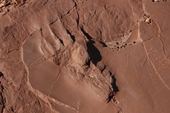
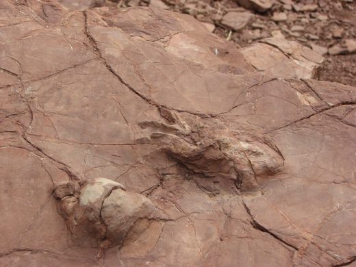
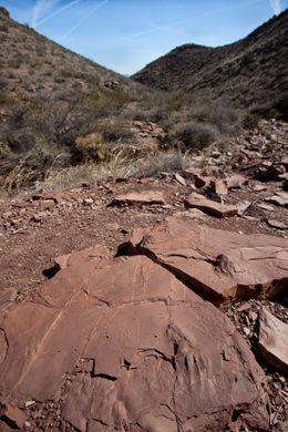
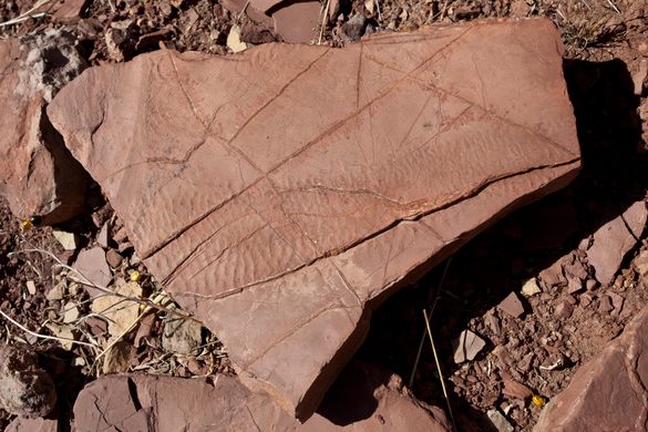
In 1987, a major deposit of Paleozoic Era footprints were discovered in mega-trackways throughout the Robledo mountains. These fossils, known as ichnofossils, belonged to an excitingly large number of creatures from land and sea, as well as the prehistoric insect world. Along with the fossilized fauna was flora as well, consisting of fossilized plants and petrified wood dating back 280 million years.
The trackways have been studied by by scientists, museums and research facilities all over the world, understandably attracting a lot of professional attention and inspiring scientific articles and journals aplenty. The beauty of the trackways is that being a paleontologist is not a prerequisite to take a walk through a long-gone ancient world.
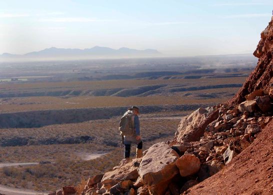
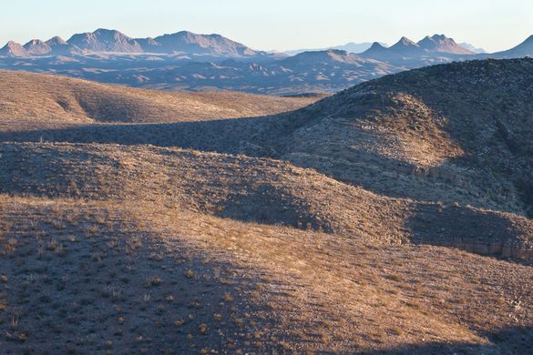
The monument itself is the 100th active National Monument and is located at the northern tip of the Chihuahuan Desert, along the western portion of the Rio Grande lift. While the trackways themselves lie over a colossal area of 5,255 acres and can be hard for the untrained eye to spot, the monument itself is full of marine invertebrate fossils to check out, and many slabs of the more impressive dinosaur tracks can be viewed at the New Mexico Museum of Natural History and Science.
Know Before You Go
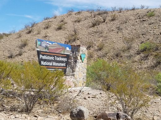
Coming from the North (I-25): At the Dona Ana Exit: From NM320 (Thorpe Road) in Doña Ana, go west to US 85, then go north about a half a mile to Shalem Colony Road. Turn west on Shalem Colony Trail, which curves to the south. Go about 1.5 miles until you cross over the Rio Grande then take a right onto county road, Rocky Acres Trail. After turning on Rocky Acres Trail go approximately ¼ mile and then turn left onto the only dirt road leading to the west. Cross over a cattleguard and continue to the west. This road, past about a mile, is for high-clearance, 4WD vehicles only.Coming from the South (Las Cruces): Travel on Picacho Ave./ Hwy. 70, at the stop light with Shalam Colony Trail, go north on Shalam Colony Trail for approximately 5.5 miles. Prior to reaching the Rio Grande River, you will reach a county road, Rocky Acres Trail. Turn west on Rocky Acres Trail. Go west approximately ¼ mile to a dirt road entrance on the left-hand side. Cross over a cattleguard and continue to the west. This road, past about a mile, is for high-clearance, 4WD vehicles only.No signs will lead you there from the main roads. You'll have to travel down a dead end road to actually see the national monument sign. There are no obvious tracks, so you'll need to hike the trails to see anything. The nearest fossils are on a 1.5 mile trail just to the right of the second parking area. Be sure to wear hiking shoes and a hat, bring plenty of water and snacks, and get there early if you go during the summer months. It gets extremely hot by late morning in Las Cruces!
Community Contributors
Added by
Edited by
The Atlas Obscura Podcast is Back!









Follow us on Twitter to get the latest on the world's hidden wonders.
Like us on Facebook to get the latest on the world's hidden wonders.
Follow us on Twitter Like us on Facebook