AO Edited
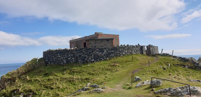
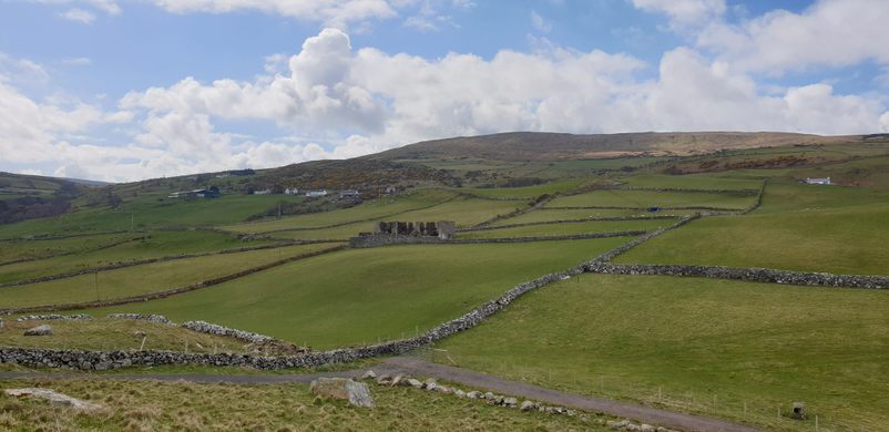
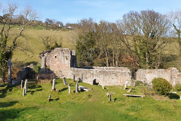
Torr Heads Ruins
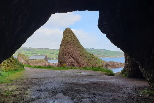
Beautiful scenery provides the backdrop for an abandoned coastguard facility.

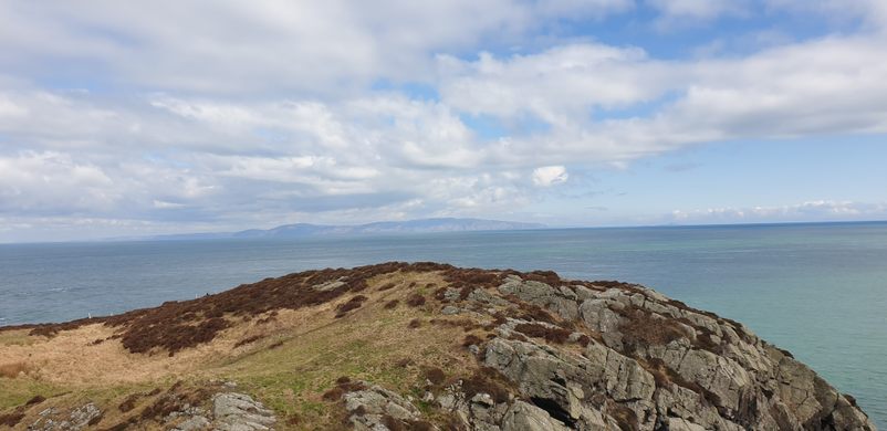
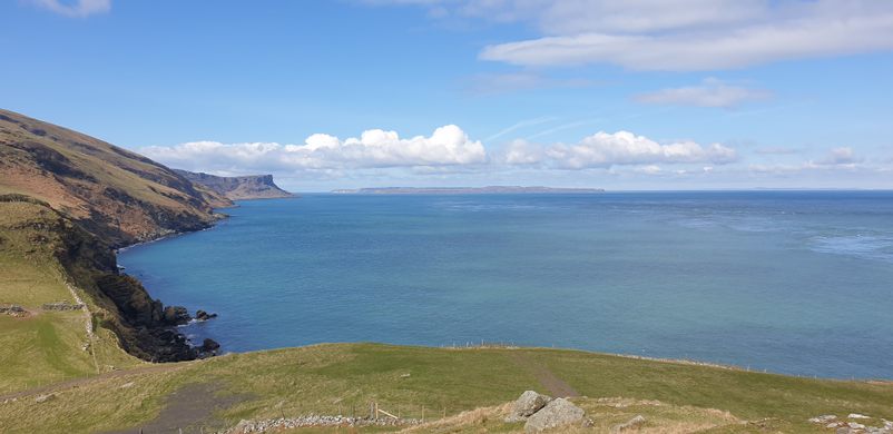
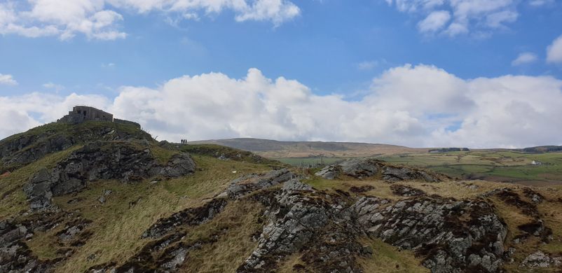
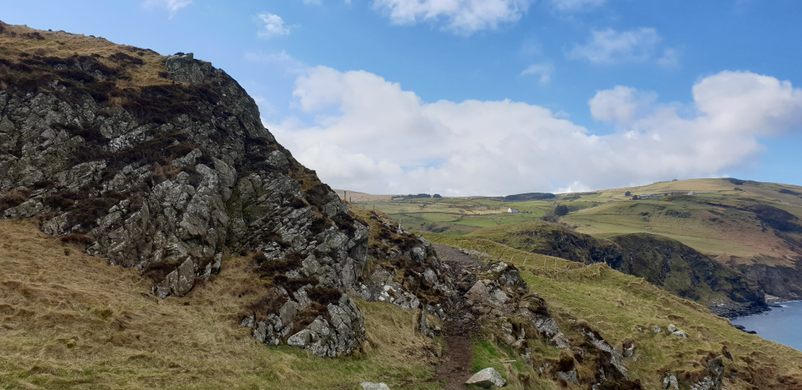
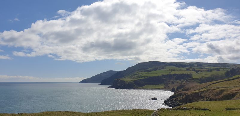
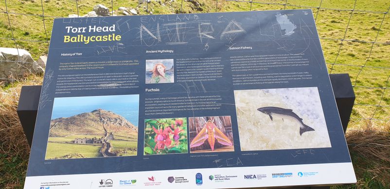

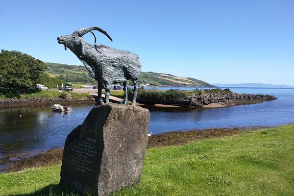
Torr headland is located southeast of the County Antrim village of Ballyvoy along the rugged County Antrim coastline. From this location are some great views of Rathlin Island and of Scotland on clear days at the top of Torr Head. The word Torr in Irish Gaelic means “mound” or “large pile” and it’s actually the closest point in Northern Ireland to Scotland by only 12 miles across the Irish Sea.
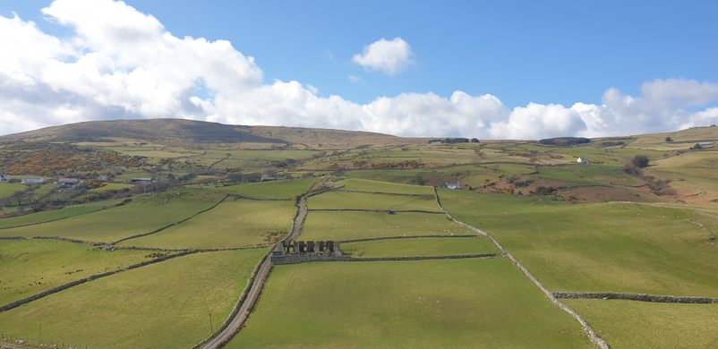
Torr Headland was previously an old salmon port with a small commercial fishery that lasted hundreds of years, but unfortunately, over-fishing, riverine degradation, and changes in oceanic conditions caused salmon numbers to decline rapidly. This led to the eventual ban on all commercial fishing along the coasts of Northern Ireland for salmon.
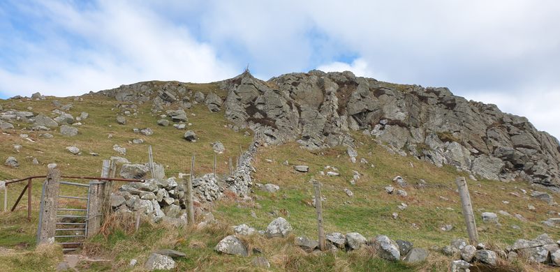
Torr headland was also used as a small shipping port previously, it also housed the coastguard during the 20th-century. It was later burned to the ground and was eventually shut down. The decayed ruins of the old port can still be seen today.
Know Before You Go
The best way to get to Torr Head is to follow the Antrim Coast Road and travel to the village of Ballyvoy.
From here, take a turn onto the Torr Road for around and then turn left at the Ballyvennaght Road junction and drive carefully along this mostly single lane windy/hilly country road until you reach the sign for the Torr Head car park, which will take you along another single-lane country road to your destination at Torr Head.


Plan Your Trip
The Atlas Obscura Podcast is Back!


Follow us on Twitter to get the latest on the world's hidden wonders.
Like us on Facebook to get the latest on the world's hidden wonders.
Follow us on Twitter Like us on Facebook