About
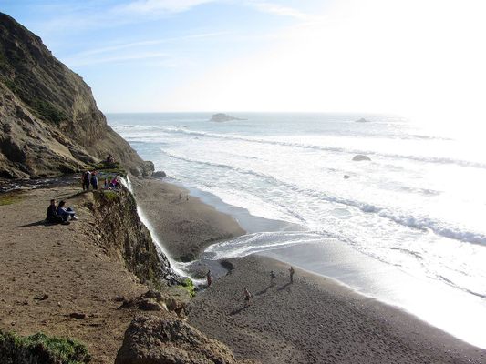
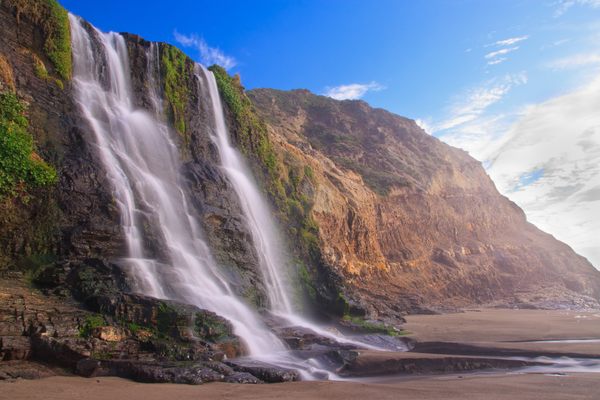
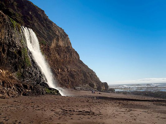
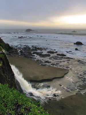
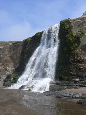
Alamere Falls is a rare and wonderful example of a "tidefall," a coastal waterfall that plunges directly from a cliff down onto the beach to join up with the sea. Viewed from the top or the bottom, it's spectacular.
The drop down onto Wildcat Beach is about 40 feet. The unusual sight of the water as it falls over the shale cliffs and into the Pacific Ocean is worth making the trek out to this wilderness cascade.
Getting to Alamere Falls is straightforward, but not effortless. The hike to the falls is a minimum 13 miles (20 km) round-trip hike. To reach the most popular trailhead, you'll drive through Bolinas, which can be a challenge—at least without a GPS—since the town tends to resist any attempts to betray its location to "outsiders." (Every time CalTrans puts up signs on Highway 1, locals remove them.) From there, it's a significant hike into the Phillip Burton Wilderness, part of the Point Reyes National Seashore in Marin County.
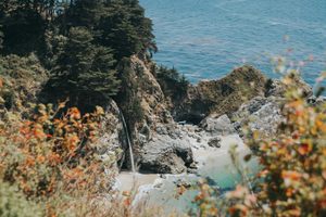
Despite the effort required to reach it, the unique site is a popular spot with visitors. Alamere Falls is one of just two tidefalls on the California coast; the other is McWay Falls in Big Sur.
Related Tags
Know Before You Go
As Fairfax-Bolinas Rd. intersects Hwy. 1, it connects on the other side with Olema-Bolinas Road. Follow that a bit over a mile and jog left when it hits an apparent dead-end (at Horseshoe Hill Rd.) Continue south to Mesa Rd. (If you reach the town of Bolinas, you've gone too far.) Turn right and follow Mesa for a couple of miles until it dead-ends into a parking lot and the Palomarin Trail head. The parking lot can fill up by 9:30-10 a.m. on weekends & nice days, so come early. To visit Alamere Falls safely, Point Reyes National Seashore recommends hiking to Wildcat Campground and from there, walking a mile south on Wildcat Beach during a low tide. At higher tides, Wildcat Beach may be completely inundated, particularly in the winter and spring. Be aware of tides and surf conditions. The route to Wildcat Campground via the Palomarin Trailhead is the 5.5-mile (8.8 km) hike via the Coast Trail. Please take note! Many social media posts and older (and some newer) guide books reference the Alamere Falls Trail: this is NOT a maintained trail, and poses many hazards to off-trail hikers—crumbling and eroding cliffs, massive poison oak, ticks, and no cell phone service. Visitors who use this unmaintained trail may endanger themselves and rescuers, and inadvertently cause resource damage. On an almost weekly basis, visitors get hurt scrambling down the heavily rutted route leading to the top of the falls or sliding down the crumbly cliff-face to get to the beach, sometimes requiring search and rescue teams to be mobilized. The National Park Service strongly advises visitors against using this unmaintained route. Please use the recommended routes to visit the falls. Wear hiking boots (or some form of trail-worthy shoes), bring water, food, layers of clothing, and expect poison oak. Bringing a flashlight and some light survival gear isn't a bad idea, in case of unexpected complications. Also, if the fog comes in late in the day, following the trail can get very difficult and surfaces can get slippery, so leave early enough so that you don't run out of daylight, and give yourself plenty of time for the return hike to the parking lot.
Published
March 7, 2018

