


About
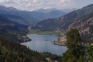
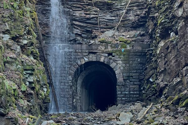
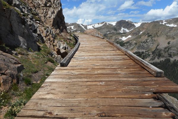
Located approximately seven miles northeast of Pitkin, Colorado, Alpine Tunnel was the first railway tunnel to cross the Continental Divide and, at 11,523 feet, was once the highest railroad tunnel in the world. Today it is one of the highest closed railway lines in North America.
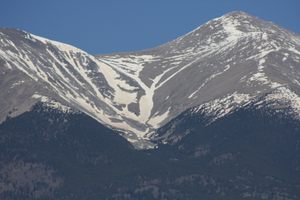
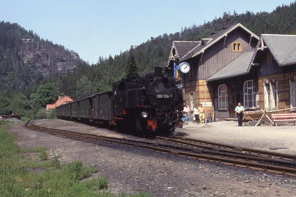
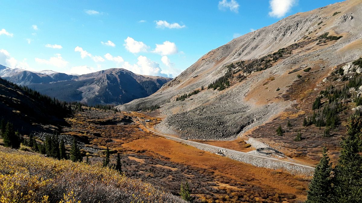
As part of the Denver South Park and Pacific Railroad, the tunnel was completed in 1882 after two years of work. It cuts under the 12,000-foot Altman Pass, located between 12,442-foot Mount Poor and 12,858-foot Mount Helmers. From the east, the old railway proceeded up Chalk Creek out of Maxwell Park, then up Tunnel Gulch (on the north side of the pass). From the west, the old railway proceeded up Quartz Creek out of the town of Pitkin, then up a different canyon that is also called Tunnel Gulch (on the south side of the pass).
The elevation made tunnel maintenance difficult—it closed four times during winter months between 1887 and 1894. The railway company began to have financial troubles and traded hands several times between 1889 and 1899. In 1895, four crew members died during spring re-opening, and two other men died in a train wreck in May that year. Snow completely buried one train, with passengers, in 1901, a train wrecked in 1904, and a fire in 1906 destroyed the engine house. The last train came through in November 1910, and by 1920 all of the old track had been removed.
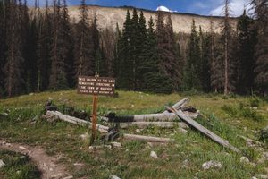
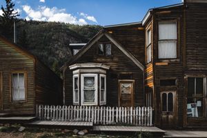
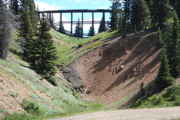
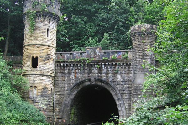
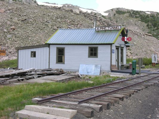
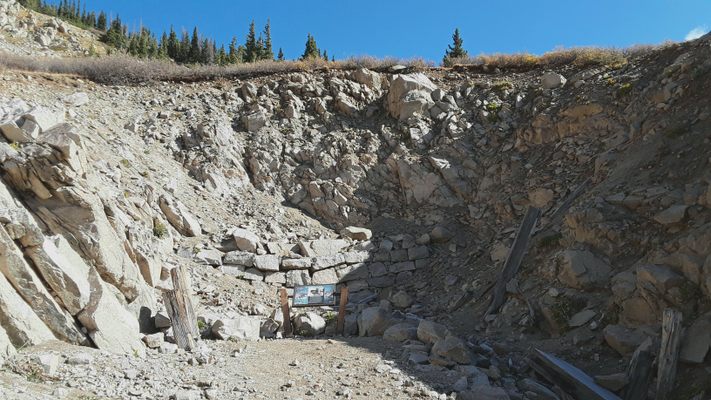
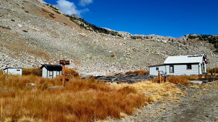
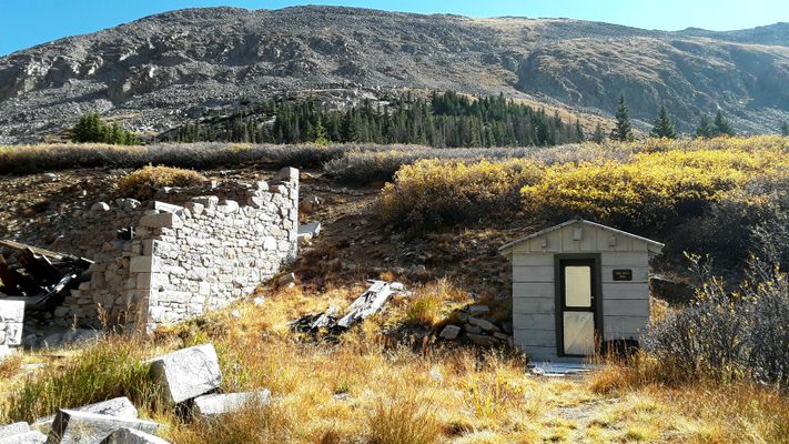
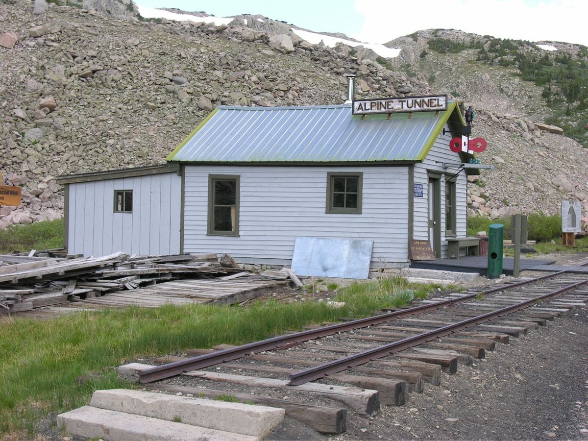
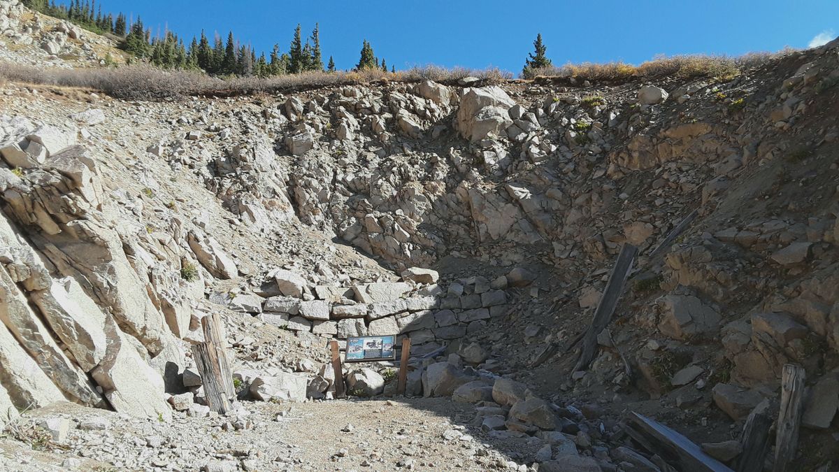
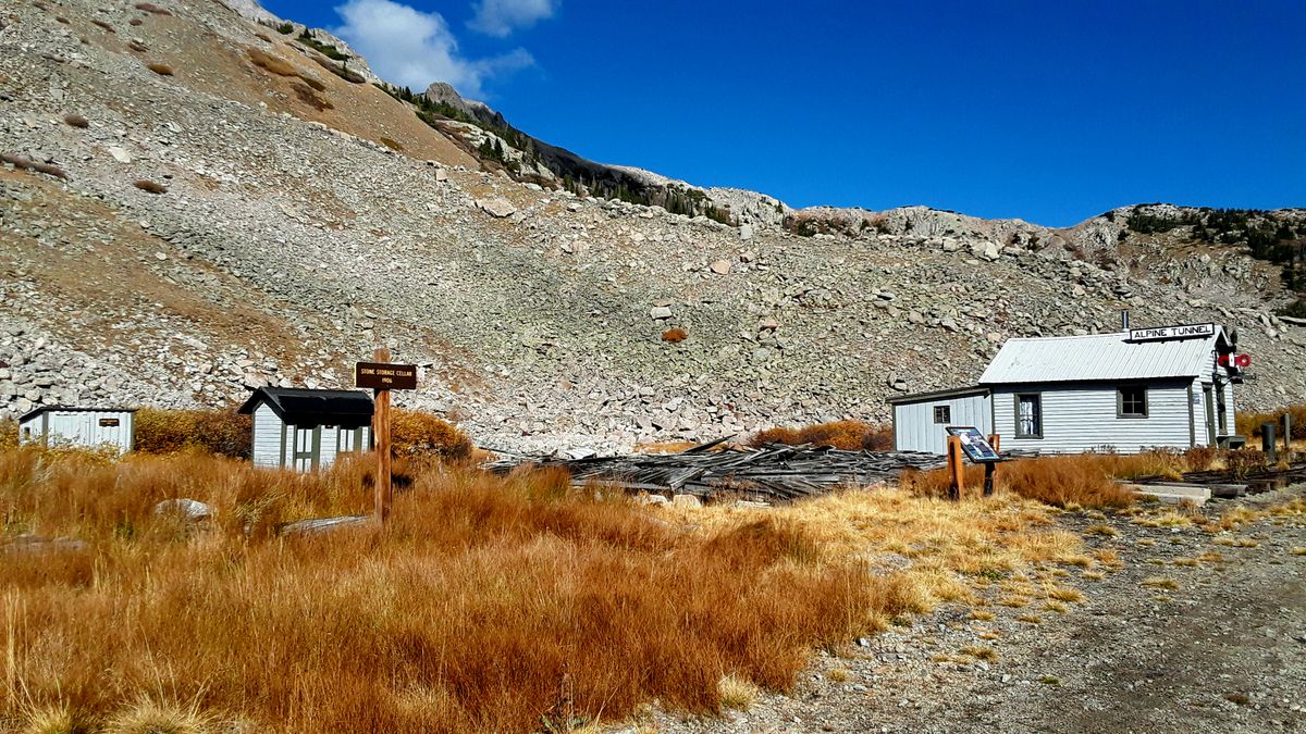
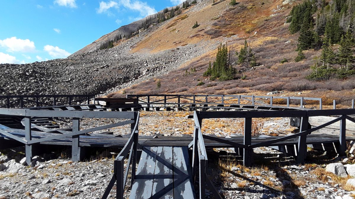
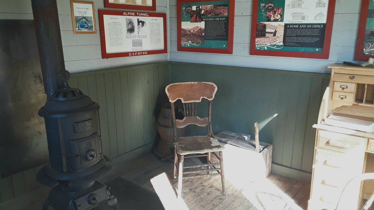
The east portal has collapsed and the west portal is buried by landslides. Little remains of the station complex at the west portal, but volunteers have restored the 1883 telegraph office, station platform, turntable, and outhouse. The historic district is now on the National Register of Historic Places.
Related Tags
Know Before You Go
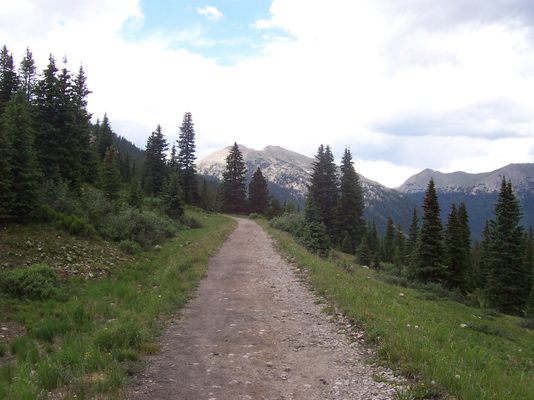
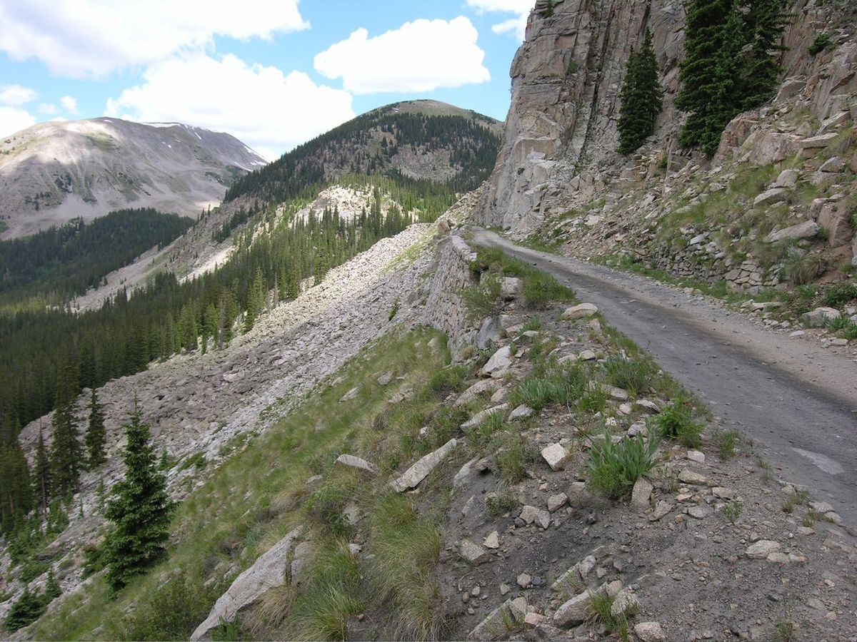
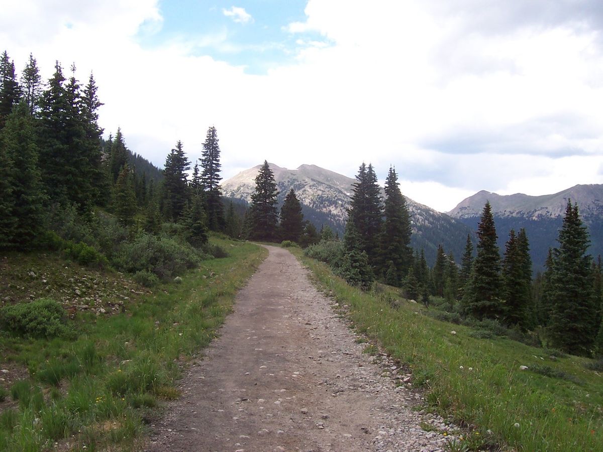
From the west, the Alpine Tunnel is no longer reachable via Forest Road 839 after an avalanche damaged the roadway at the Palisades in 2014, making it impossible for traffic of any type. The only way to reach the west portal is during the month of August, when a 4WD/ATV track over Hancock Pass (12,208 feet in elevation) is open. This track connects to Forest Road 839 above the damage at the Palisades. Funds to repair the damages at the Palisades were approved in 2021 and work should begin once the snowpack melts in 2022. Repairs should be finished either by late summer 2023 or 2024. Once repairs are complete, access to the West Portal will be available via Pitkin: head east from Pitkin on County Road 76 for 3 miles, then turn right onto Forest Road 839. Continue up FR 839 for 10.5 miles, which may require a high-clearance vehicle in places, to the historic district. A good auto tour guide to this route can be found here.
Published
September 30, 2021