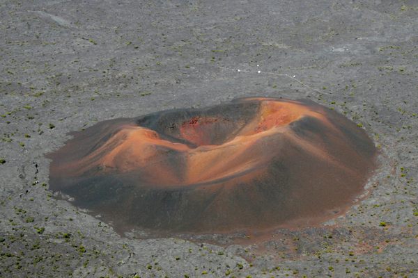
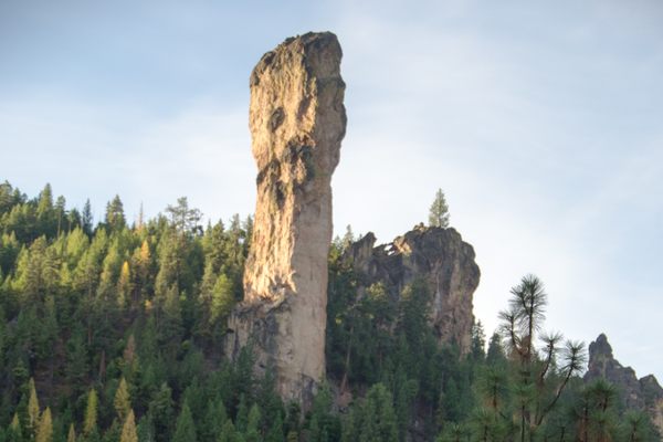
Basalt Plug
This large chunk of dark rock is a relic from an ancient volcanic eruption.

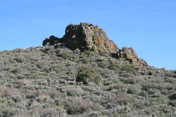
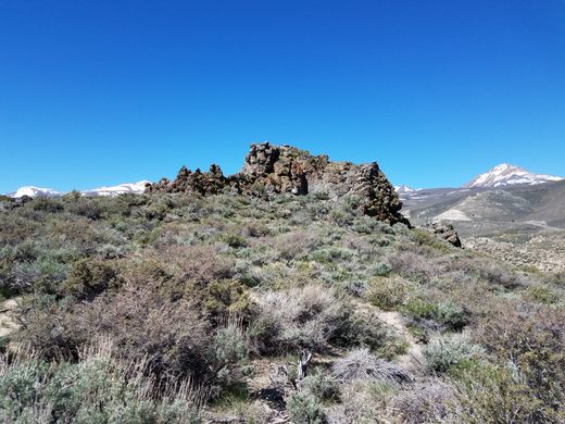
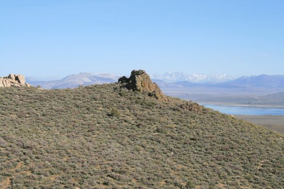
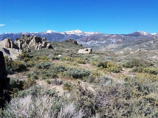
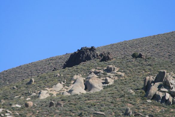
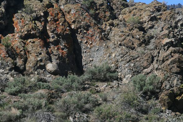

For a volcanic eruption to occur, magma must make its way up to the surface, which implies there must be conduits through the rock below. Usually these conduits aren’t exposed. They’re either covered by the erupted lava, or, if erosion has removed the lava, are so small relative to the size of the erupted material that they’re likely to have been eroded away too. In any case, they are easily missed. But not far from Mono Lake, there is an unusual case where the “pipe” that fed an eruption at the surface is both exposed and readily recognizable.
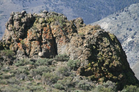
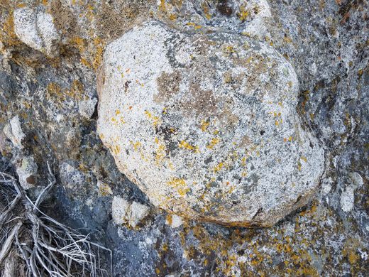
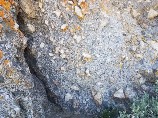
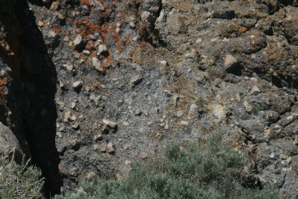
This so-called “plug” is composed of dark basalt, which contrasts strikingly with the surrounding light granite. Up close, the basalt can be seen to be full of granite fragments broken out of the surrounding rock. They are typically rounded; not only was the molten basalt above the melting point of the granite but it is out of chemical equilibrium with it, so the edges of the granite fragments were not just melting, but dissolving.
Based on its age and chemical composition, this plug is thought to have been the feeder for basalts that are now exposed along US-395 a couple of miles north of Conway Summit and some 600 feet higher. This height gives an estimate of how much erosion has taken place. The plug may well have fed a cinder cone on the surface, as those are a typical result of small basalt eruptions, but it has long since eroded away.
Know Before You Go
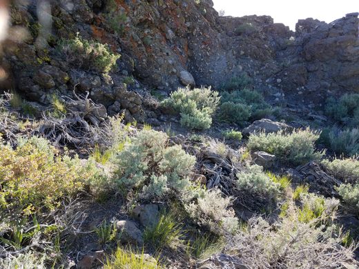
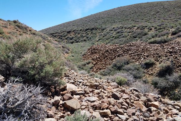
The most straightforward access to the plug is from the east. Turn east on Conway Ranch road, a graded road that intersects US-395 1.8 miles north of California SR-167, and go 1.1 miles to Rattlesnake Gulch road. This intersection is probably unmarked but is at about 38.071065 N, 119.151853 W. Then go north (left) here 1.4 miles to where a ridge comes in from the left (west), at about 38.08789 N, 119.1434 W. At this point you can see the plug as a dark ragged outcrop, about two hundred yards away, contrasting with the nearer light-colored granite.
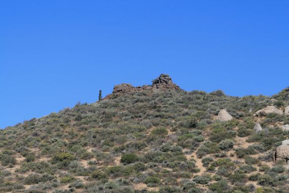
While in the area, Sinnamon Cut is another 0.6 miles up this road.

Plan Your Trip
The Atlas Obscura Podcast is Back!


Follow us on Twitter to get the latest on the world's hidden wonders.
Like us on Facebook to get the latest on the world's hidden wonders.
Follow us on Twitter Like us on Facebook