AO Edited
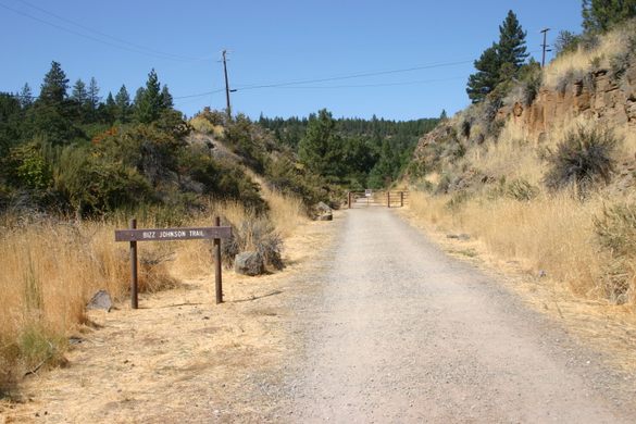
Bizz Johnson National Recreation Trail
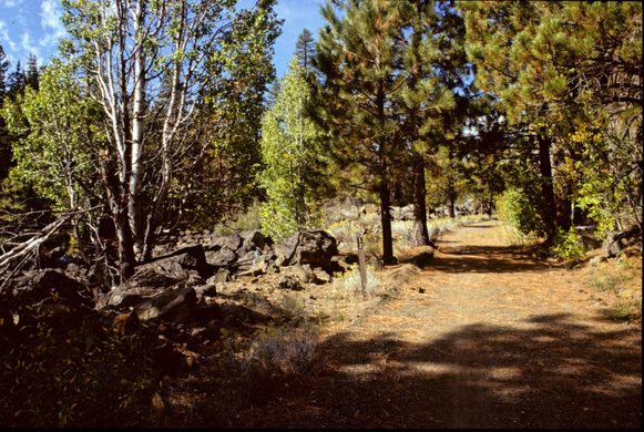
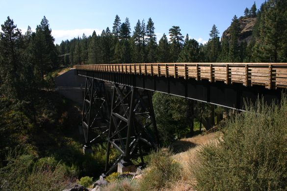
This hiking/biking/horse trail along an old railroad grade features trestles, tunnels, and a roadless stretch through the scenic Susan River canyon.

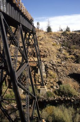
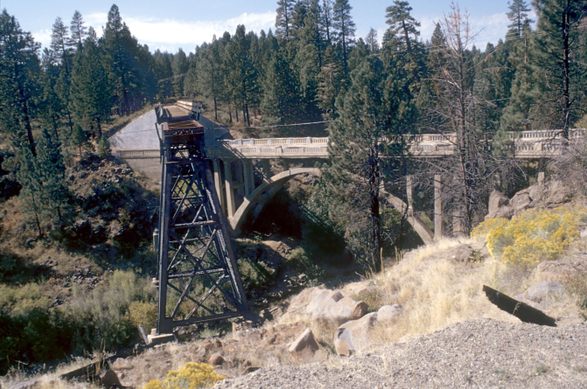
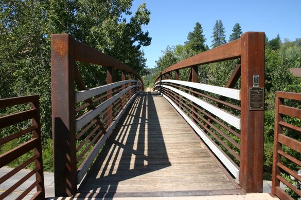
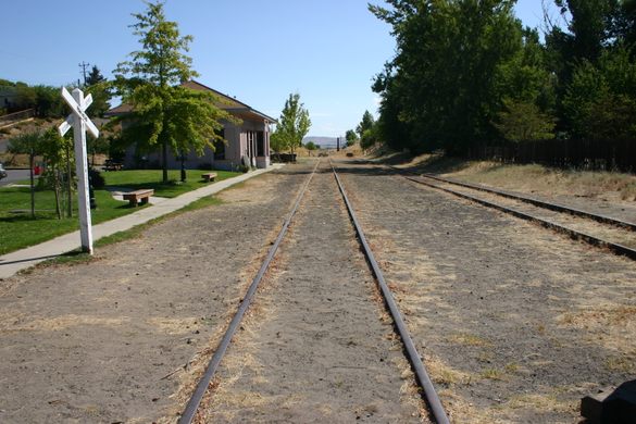

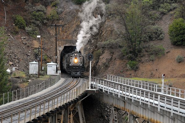
The Bizz Johnson National Recreation Trail, named for the congressman who played a major role in its creation, follows the original course of the western and more scenic part of the Fernley and Lassen branch line. Part of the Southern Pacific, this was a timber railroad that declined with the industry. It was finally abandoned in 1978.
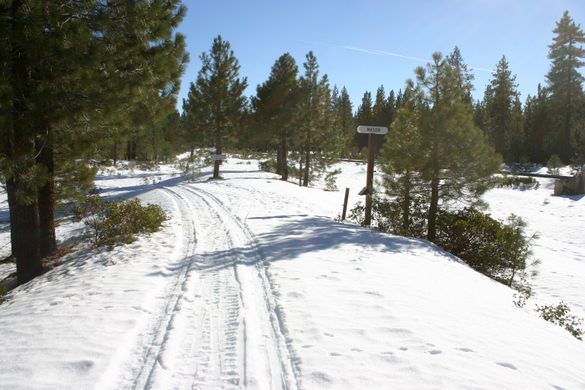
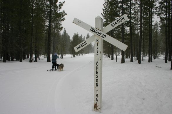
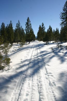
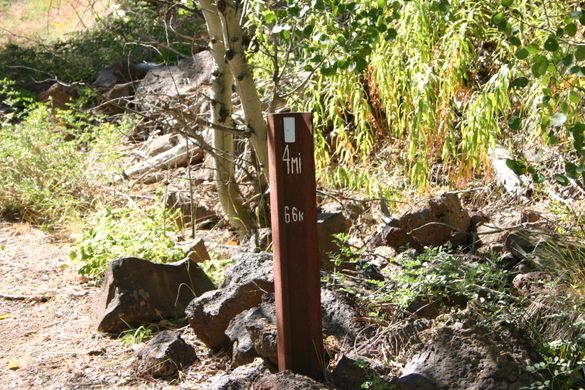
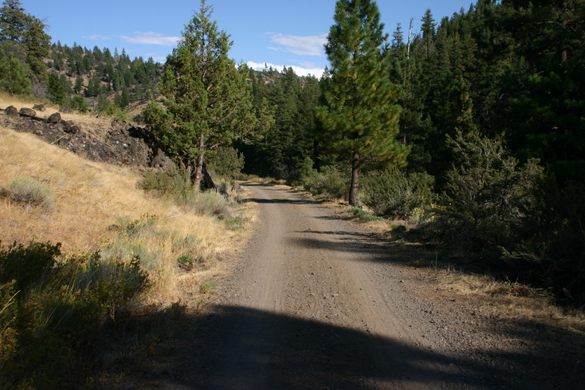
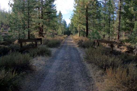
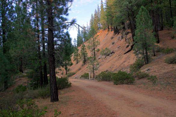
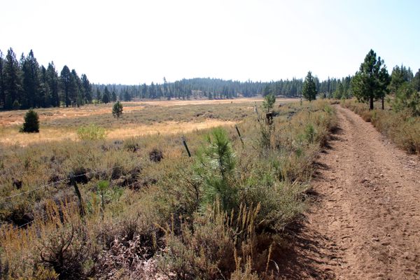
The trail runs some 25.4 miles from its eastern end in Susanville to its western end north of Westwood at Mason Station, where it joined the main line (which still exists). The total elevation gain is about 1,200 feet. The trail is closed to motor vehicles, but open to hiking, bicycling, horseback riding, and (conditions permitting) cross-country skiing.
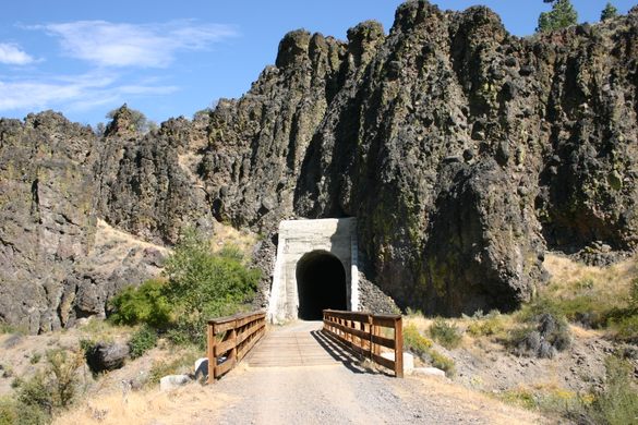
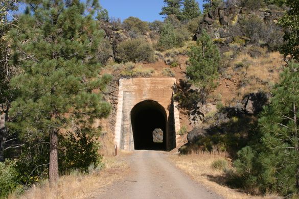
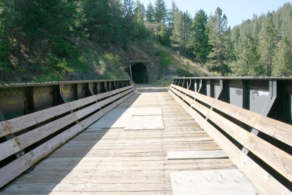
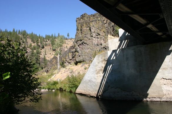
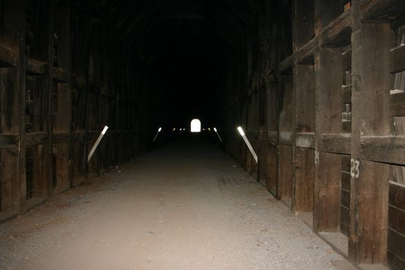
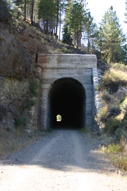
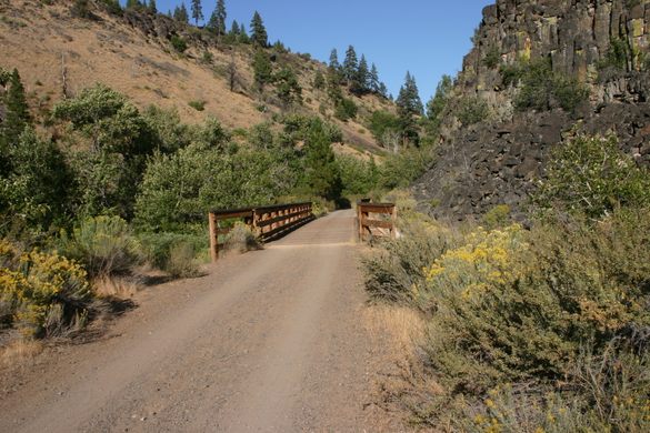
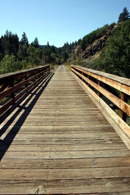
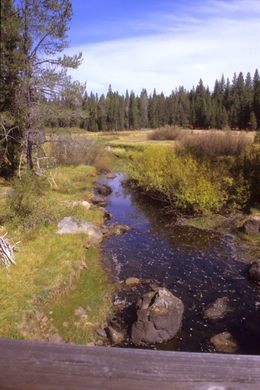
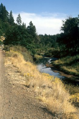
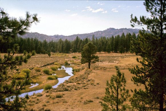
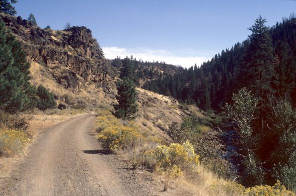
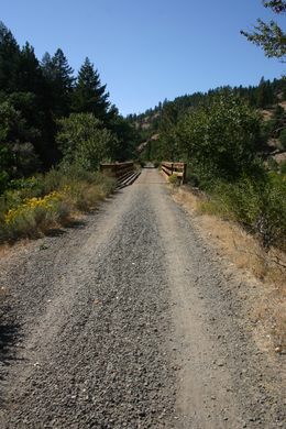
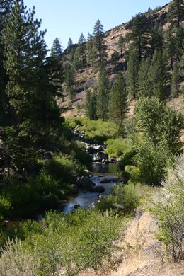
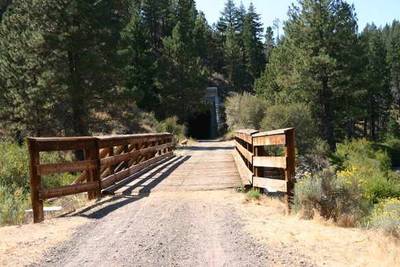
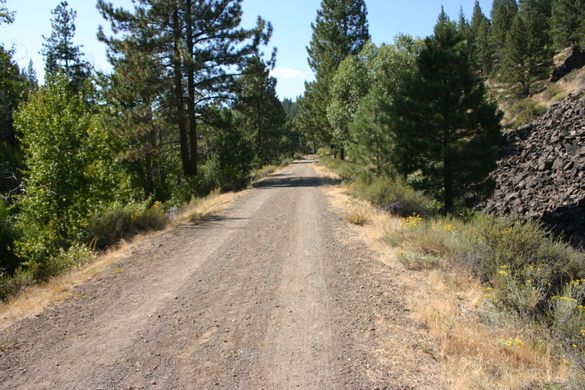
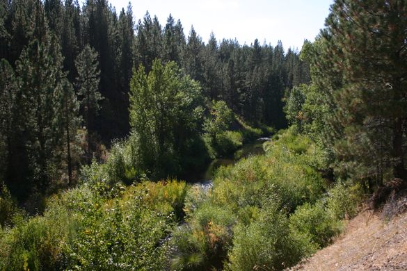
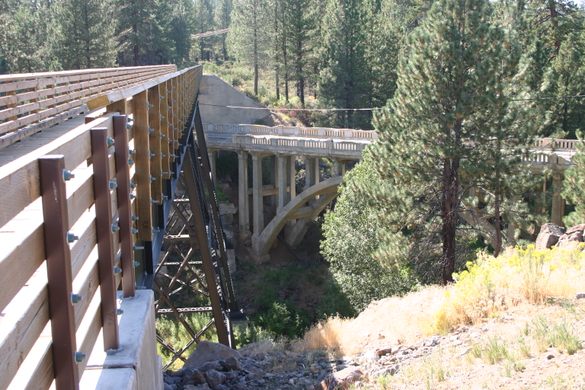
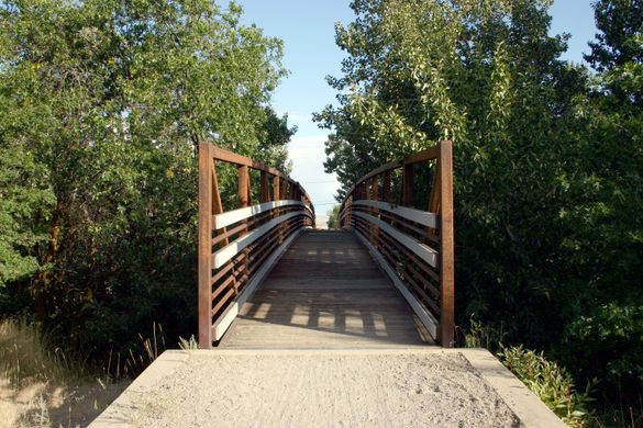
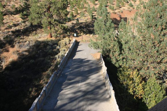
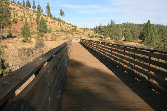
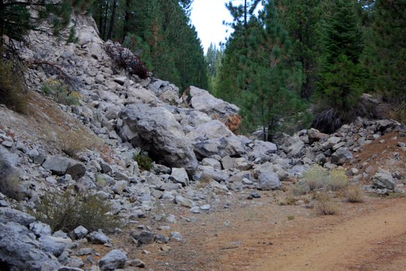
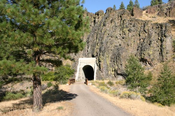
The first 16 miles run alongside the Susan River, of which the first seven miles, with several trestles and two tunnels in the roadless Susan River Canyon, are the most scenic. The upper part from Mason Station, however, is most likely to have cross-country skiing available as it gets more snow, being at a higher elevation.
Know Before You Go
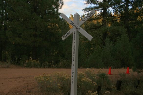
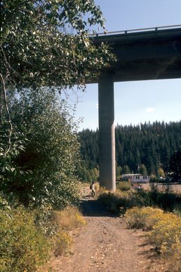
The main trailhead at the east is in Susanville, where the trail heads directly into the Susan River canyon. Several intermediate access points also exist; check the Bureau of Land Management map (check the website). However, note that the first access beyond Susanville, at Devil's Corral where the trail passes underneath California State Route 36, is already beyond the Susan River Canyon. There is no intermediate access in the canyon.
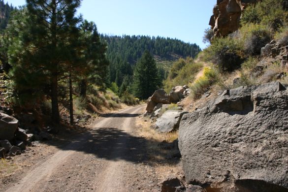
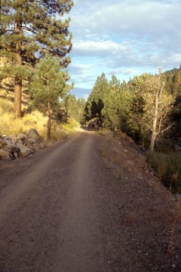
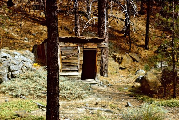
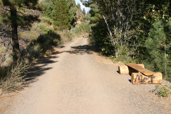
Much of the trail is remote, such access as exists being mostly off dirt roads. Be sure to be prepared with adequate water, especially in the summer. There are no convenience stores.
Unfortunately, there is damage from the recent wildfires at the west end, including scorched forest and some loss of trail infrastructure. Check the website for updates and trail status.


Plan Your Trip
The Atlas Obscura Podcast is Back!


Follow us on Twitter to get the latest on the world's hidden wonders.
Like us on Facebook to get the latest on the world's hidden wonders.
Follow us on Twitter Like us on Facebook