


About
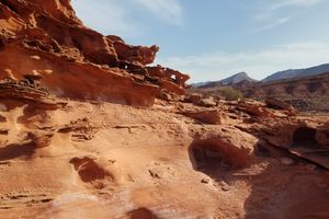
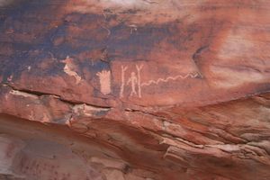
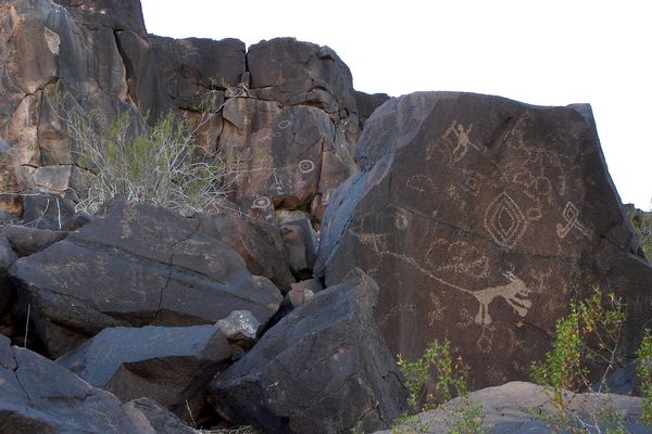
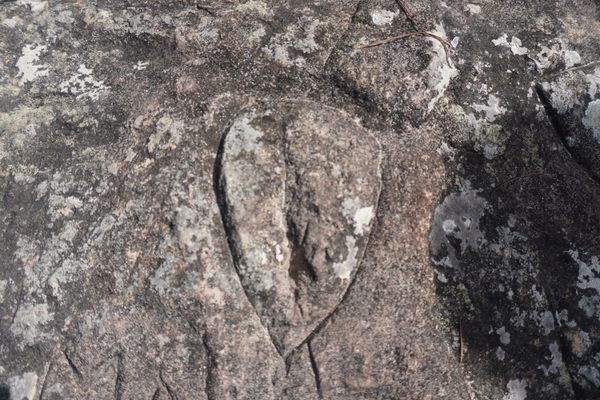
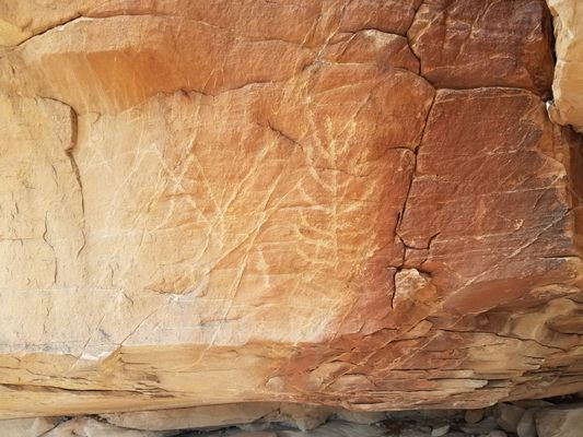
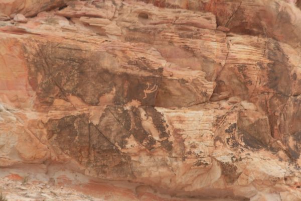
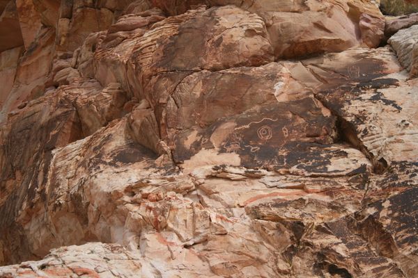
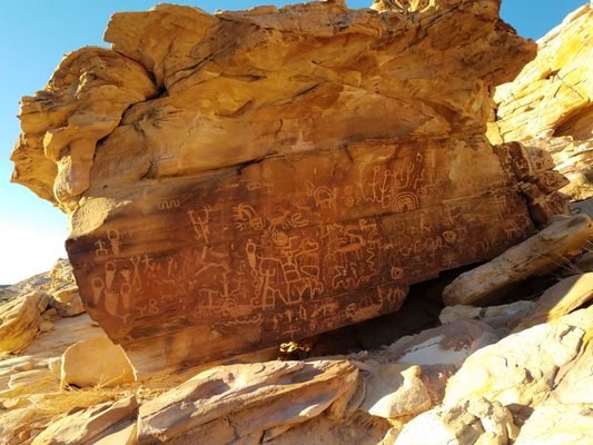
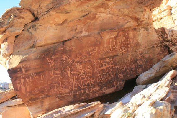
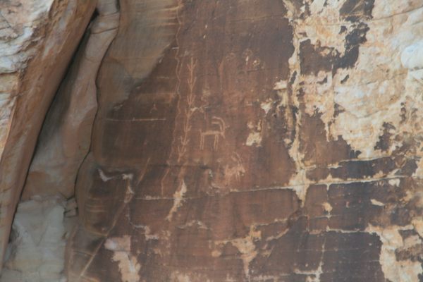
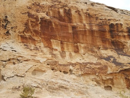
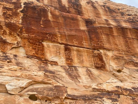
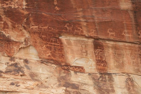
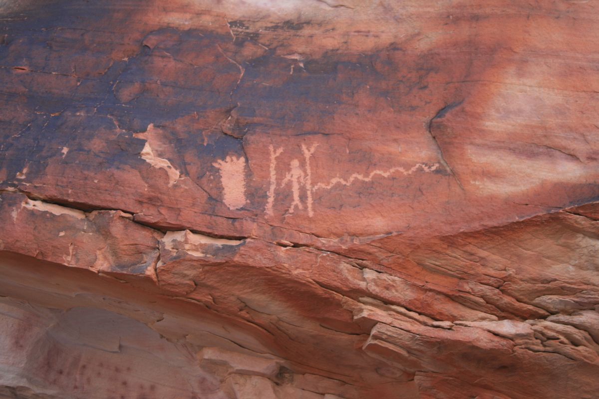
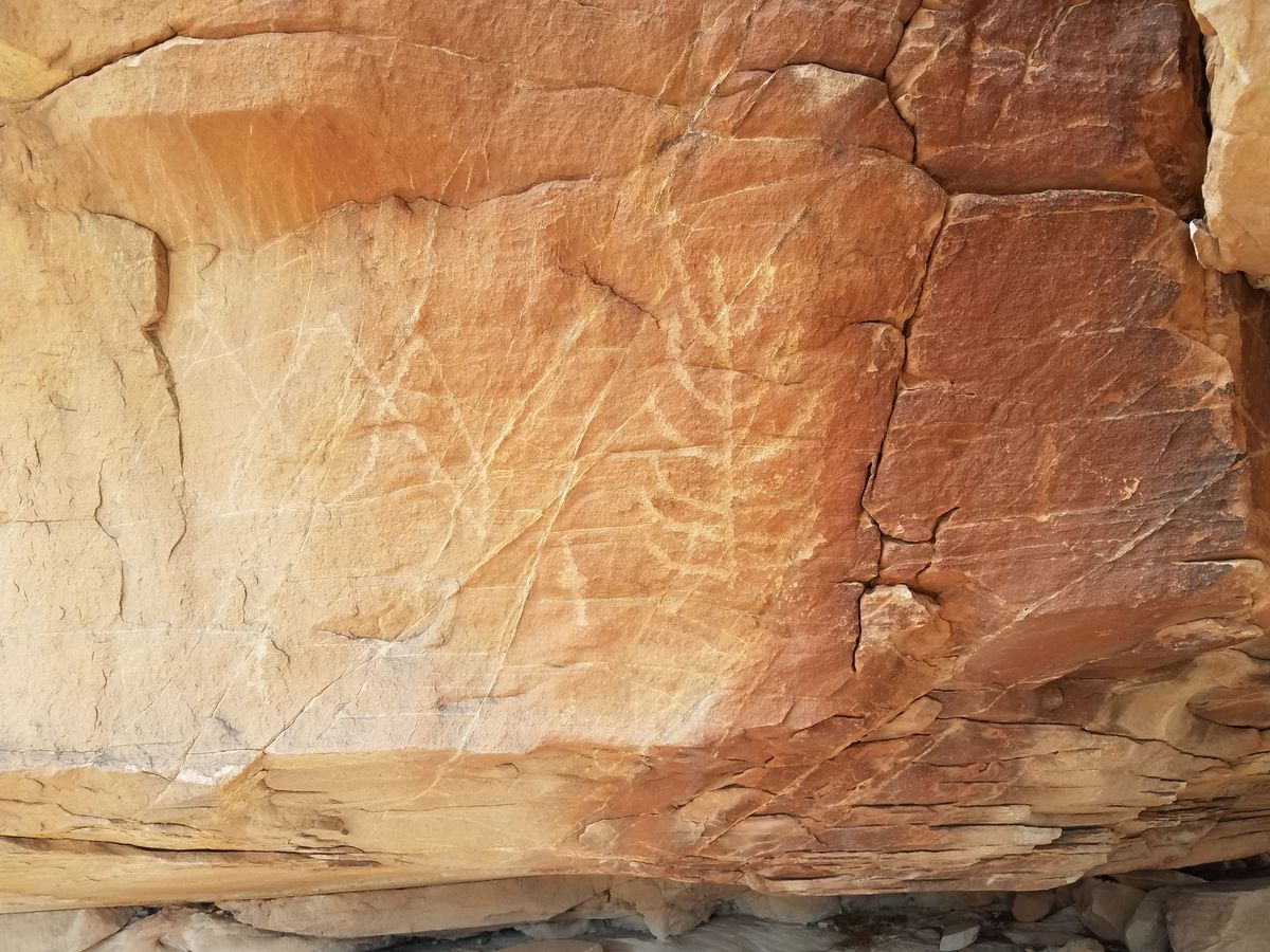
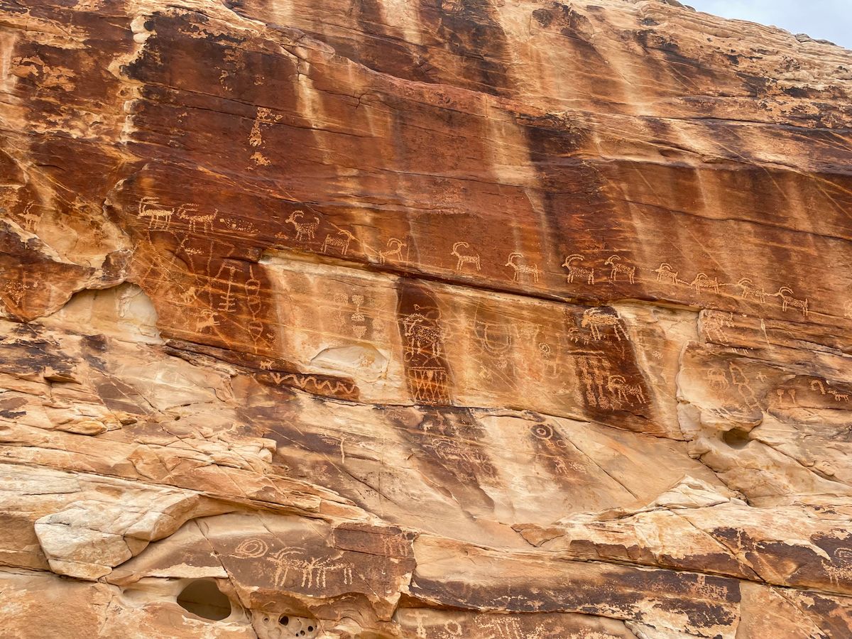
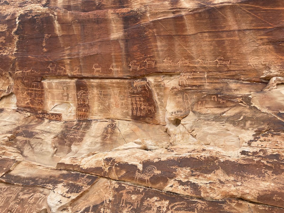
Over time the Aztec/Navajo Sandstone develops a dark patina, so-called "desert varnish," a product of very slow weathering. This patina surface was a favored substrate for ancient rock art, as chipping revealed the lighter rock underneath. The petroglyphs at this Nevada site were made in this way.
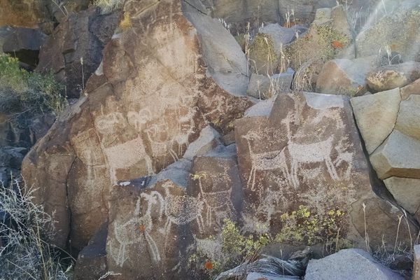
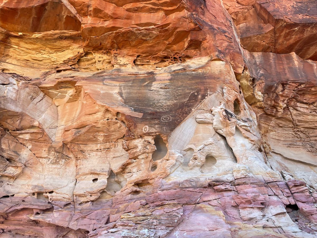
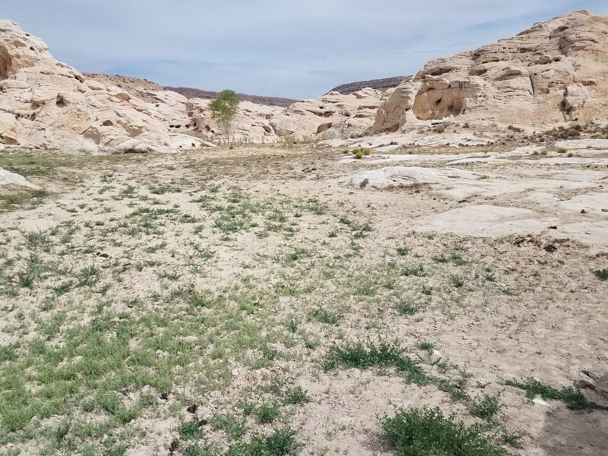
As with all ancient rock art in the Southwest, their meaning is somewhat uncertain. Some are obvious animals such as tortoises and the ubiquitous bighorn sheep, while others are enigmatic human forms or, in a few cases, corn plants. Concentric circles may be sun signs, and wavy lines may represent water or snakes. Other geometric patterns do not lend themselves to obvious interpretation, and it is unknown if the symbols were linked to any sort of narrative. The age range of the petroglyphs is also uncertain, but the area is still sacred to local Native American tribes.
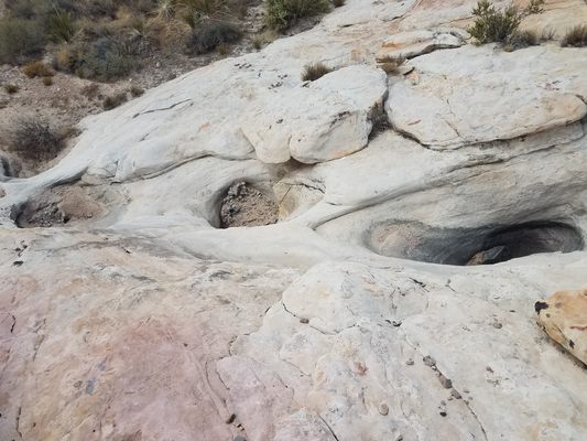
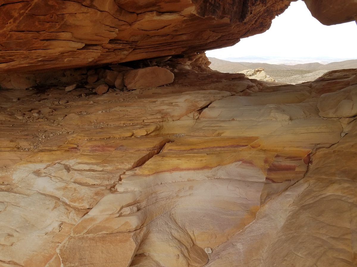
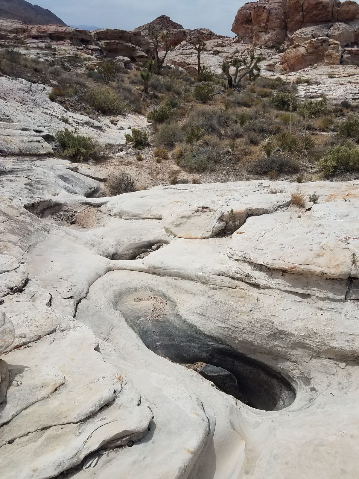
It has been noted that the petroglyphs tend to occur near erosional basins in the sandstone that collect water and so are important water sources. These basins are often called "tinajas" (Spanish for "jar"); early settlers called them "pockets" (hence Whitney Pocket). Some are deep enough, and long-lived enough, to support tadpole populations.
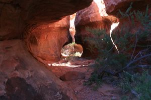
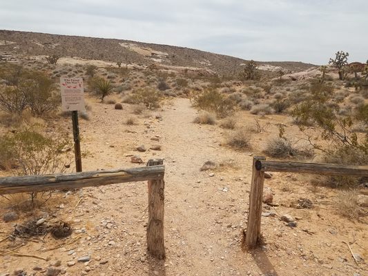
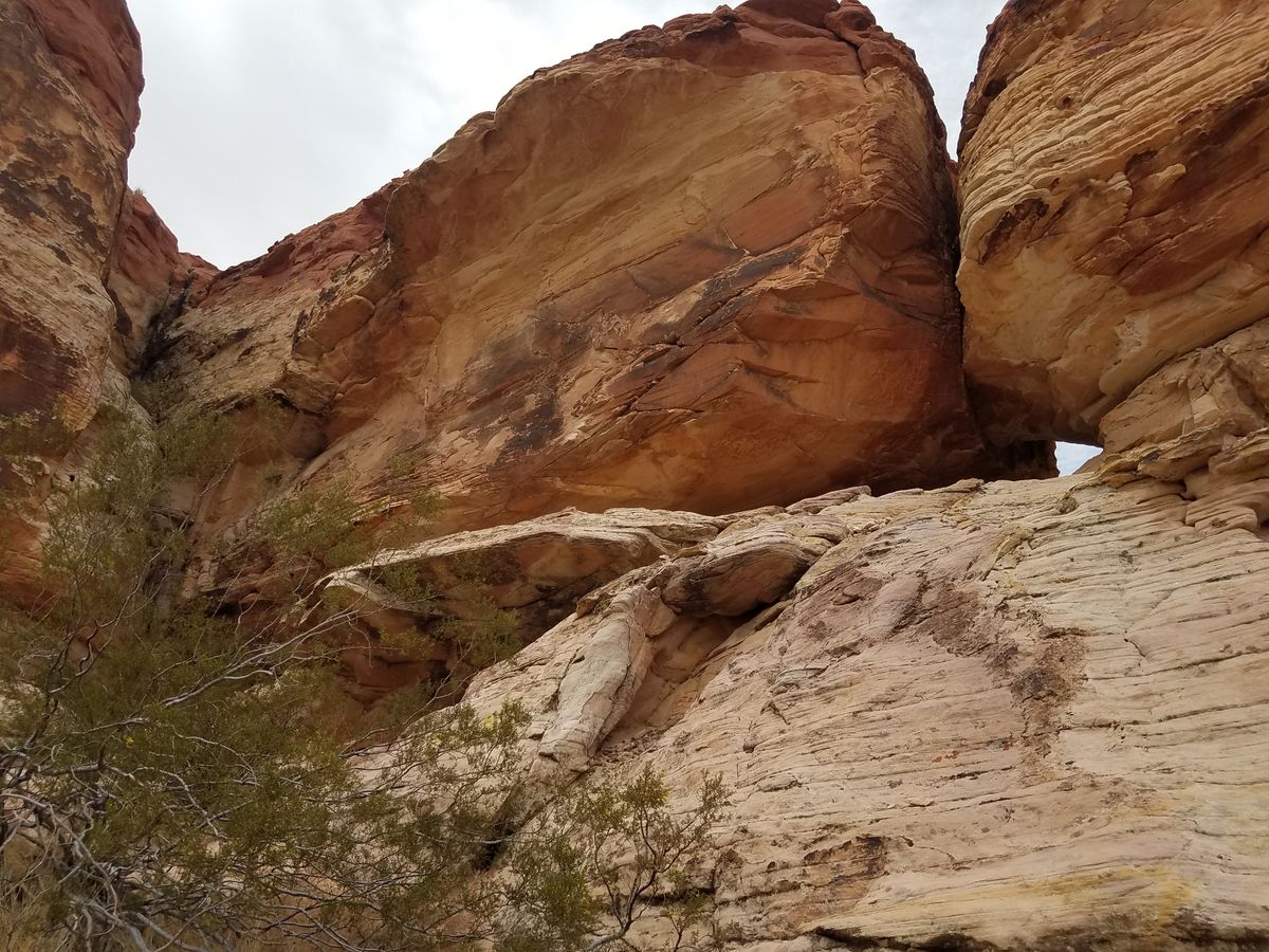
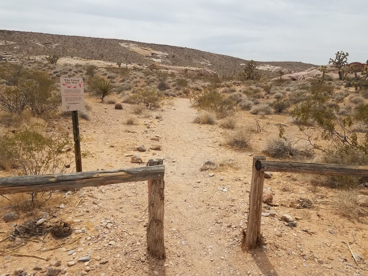
From the Falling Man trailhead, the main trailhead, the trail follows an old road that ends below a low sandstone bluff. To the right, around a short ridge, is the tunnel, a low arch in the sandstone. The tunnel is flanked by petroglyph panels and one route to the Falling Man petroglyph is by crawling through this tunnel.
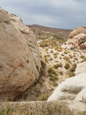
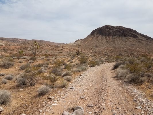
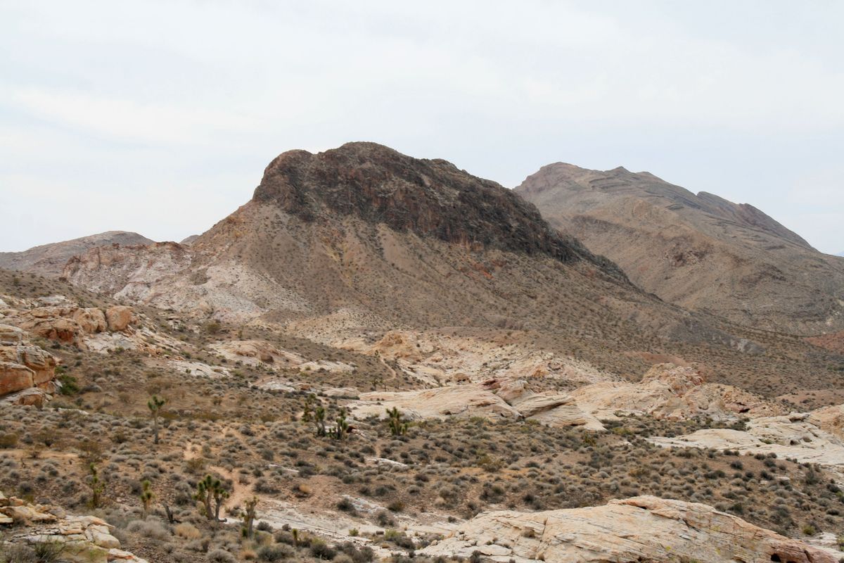
To find other petroglyphs, backtrack to the low bluff above the stopping point. At the left, a scramble leads to a fairly well-defined trail that more or less follows the edge of the sandstone outcrops. Black Butte is prominent in the distance, and the trail largely heads that way. Many of the petroglyphs will be in the sandstone on the right (west).
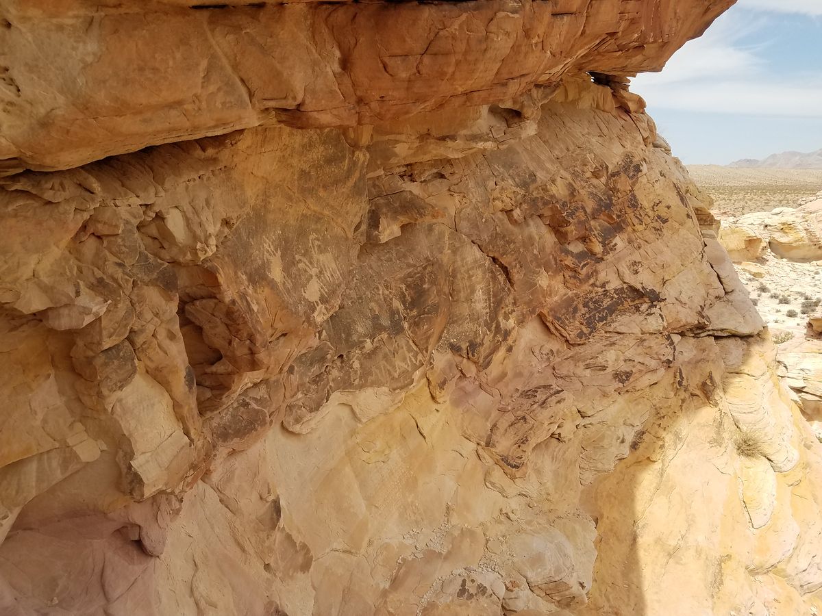
However, a welter of use paths splay off this trail, such that detailed trail instructions to individual petroglyphs are impractical. Instead, the GPS coordinates of a couple of the more interesting sites are given as a guide. Note that the sandstone where the petroglyphs occur tends to crop out as steep rounded domes that can include bluffs up to 50 or 60 feet high. When looking for petroglyphs, remember they're usually found on surfaces with the darkest desert varnish. Loose rock is also everywhere; caution is warranted when making your way around, especially with pets and children!
Some of the petroglyphs include Bigfoot, which does not refer to the cryptid but rather a bare human foot with toes visible, and another one called Newspaper Rock, and the 21 Goats panel prominently located above a wash. (Of course, the "goats" are actually bighorn sheep.)
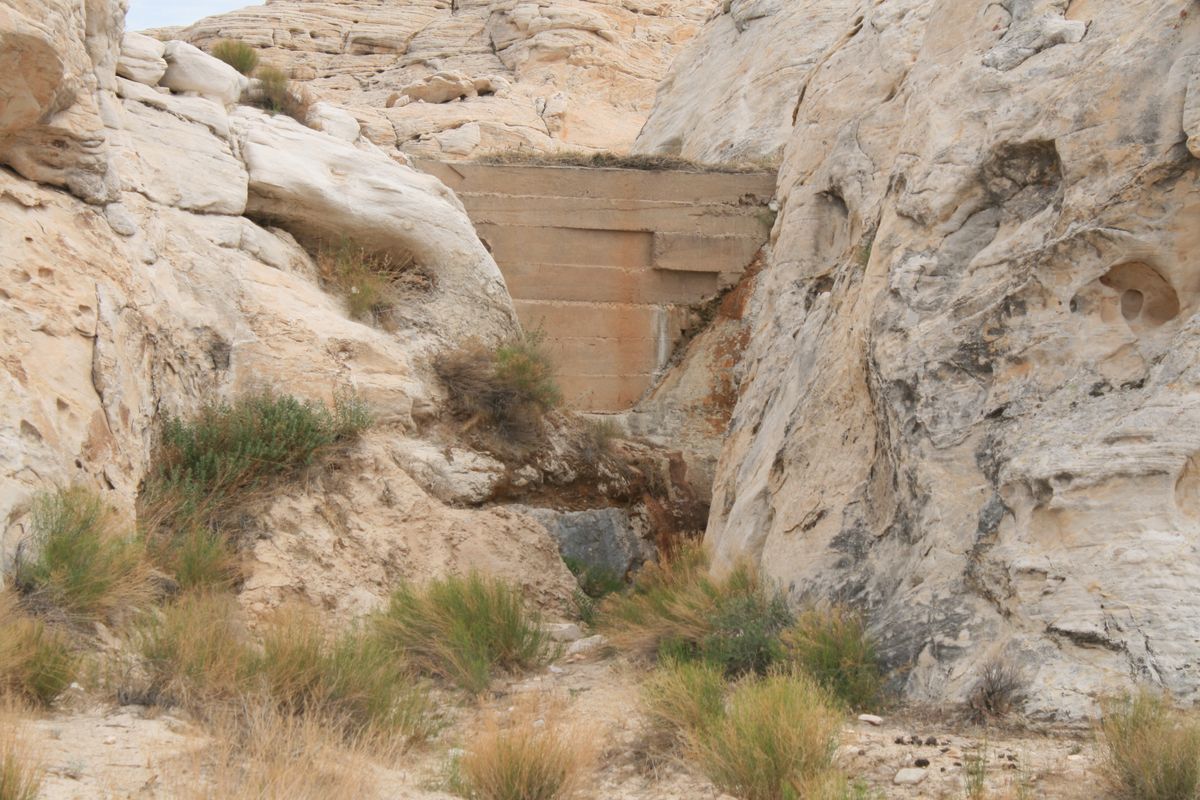
Black Butte Dam is not far from the 21 Goats panel. Follow the wash downstream from the 21 Goats panel; where the wash exits the Aztec bluffs there will be a well-defined path on the left (southwest). If you follow it for several hundred yards you'll find a concrete water storage dam of early-mid 20th-century vintage. Sources differ as to whether it was built by the Civilian Conservation Corps or local ranchers. The reservoir is largely silted in at this point, but can still contain a shallow pond early in the season or in wet weather.
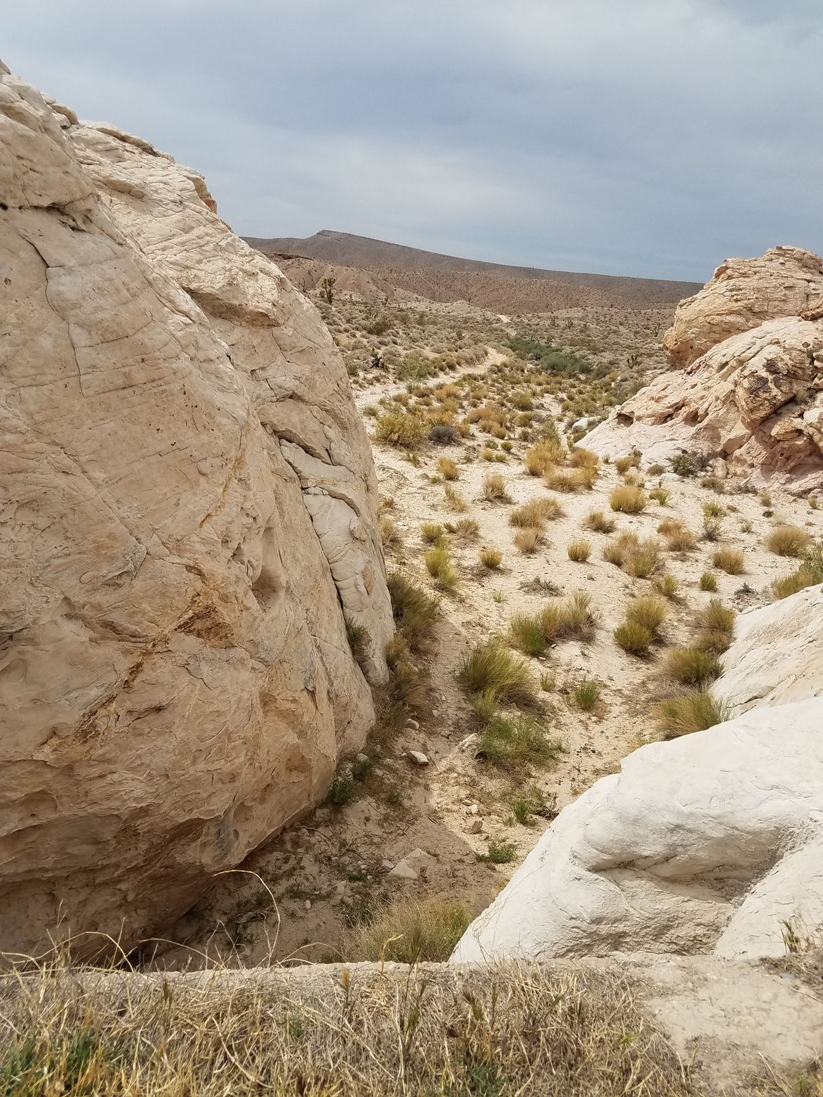
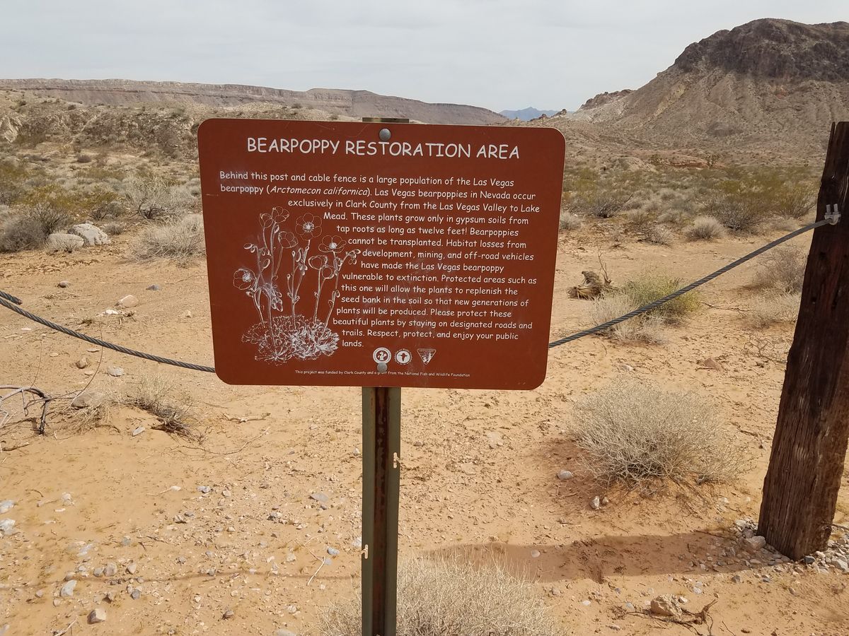
To exit, you can retrace your steps, or continue out the wash to pick up the Black Butte Road again. You will see a road, now closed to motorized traffic, climb out of the wash to the right after a hundred yards or so. It is closed to traffic because it crosses a large stand of the Las Vegas bearpoppy, an endangered species found only in Clark County, Nevada, which requires gypsum-rich soil to grow.
Related Tags
Know Before You Go
The area is entirely contained within Gold Butte National Monument. To get to the Falling Man trailhead, head out the Gold Butte Road toward Whitney Pocket. Turn right on Black Butte Road, a well-defined dirt road about 1.4 miles _before_ Whitney Pocket. Although obvious the road may not be signed, but in any case the junction is about 36.530402 N, 114.161813 W. Follow Black Butte Road 1.2 miles to bear left at a shallow junction, then go another 0.7 miles to Falling Man trailhead (loc. 36.511675 N, 114.185459 W.)
Petroglyphs are irreplaceable. Please do not touch or trace them; take only pictures.
Community Contributors
Added By
Published
March 7, 2023