About
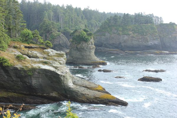
In the very corner of Washington state, the northwesternmost point in the contiguous United States, lies Cape Flattery. The cape was named in 1778 by Captain Cook. Upon finding the cape, Cook believed there was a harbor nearby, which there was not. So, he dubbed it Cape Flattery because it, according to his journal, “flattered [him] with the hopes of finding a harbor.” Incidentally, this makes Cape Flattery the oldest permanently named feature in Washington.
Captain Cook was by far not the first visitor to Cape Flattery. The local Makah tribe had often used Tatoosh Island, just half a mile away, as a seasonal hunting and whaling camp. The first recorded contact between this tribe and Europeans occurred in the area when John Meares, a British sea captain flying under the Portuguese flag, anchored to trade. Cape Flattery Trail is located within the Makah Reservation, just outside of Olympic National Park.
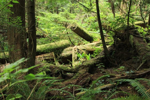
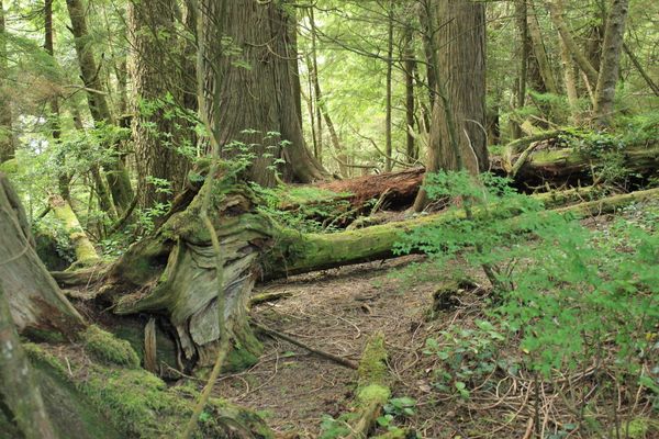
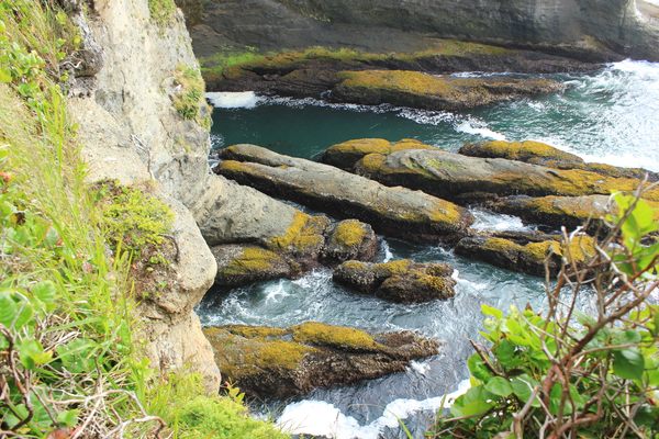
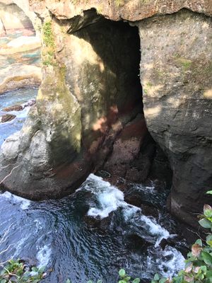
Observation decks along the trail provide spectacular views of the rugged rocks, sparkling waters, and spectacular wildlife of the Pacific Ocean.
Related Tags
Published
November 11, 2022
Updated
August 15, 2024
