Casselman River Bridge
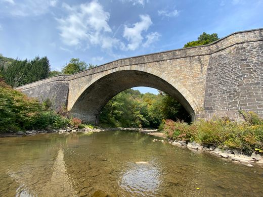
This beautiful stone arch bridge wasn't even expected to stand for one day, but people have been crossing it for centuries.
The builder of this lovely 19th century stone arch bridge expected it to fall at the opening ceremony. Instead, it has lasted more than 200 years.
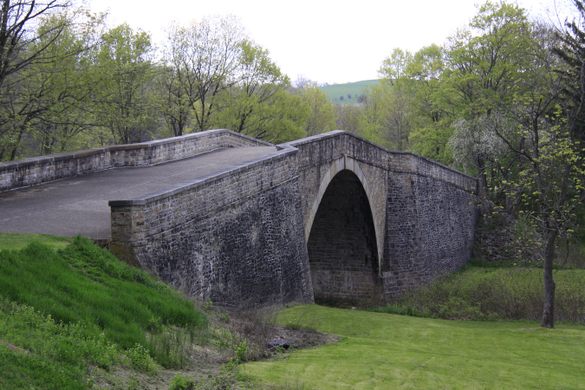
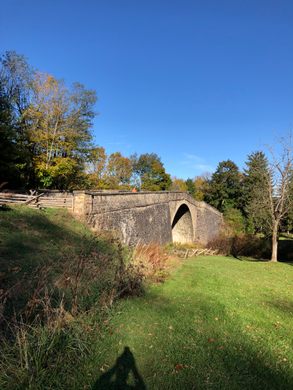
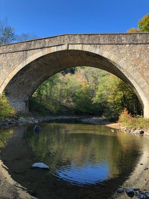
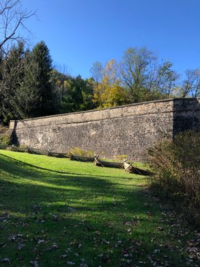
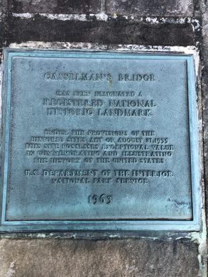
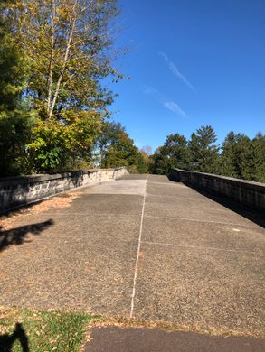
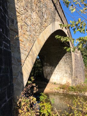
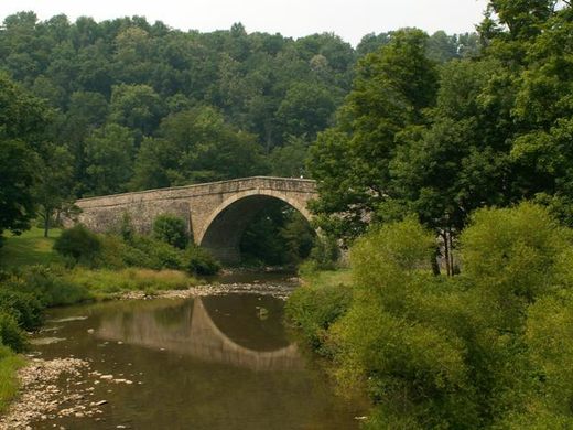
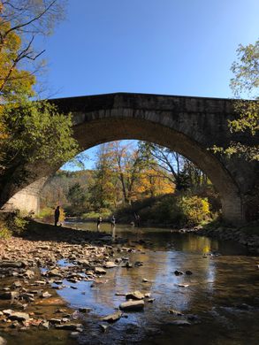
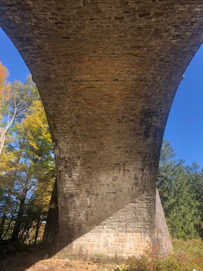
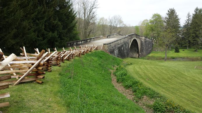
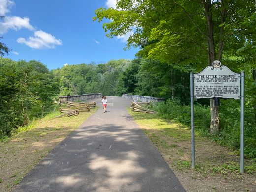
The Casselman River Bridge stands in Garrett County, Maryland, but its large arch and beautiful stone construction make it look like a medieval masterpiece. It also seems oddly out of scale for the rather small river it crosses, leaving many travelers to wonder what the context and history of the beautiful bridge is.
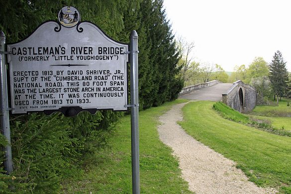
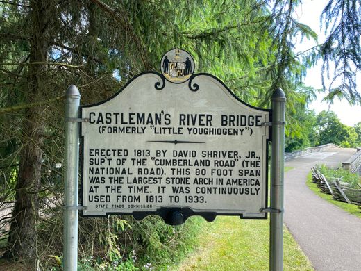
Fortunately for the inquisitive traveler, there are many historical markers in the surrounding state park to tell the bridge’s tale.
As a young soldier in the Virginia militia, George Washington had to dodge the Casselman River as he traveled during the French and Indian War. In 1813, after the United States was founded and the river fell in the path of the National Road, the first federal highway, David Shriver was tasked with overseeing the construction a bridge so that people would no longer have to avoid the river as Washington did.
The 80-foot span made the bridge the largest stone arch in the country at the time. This large scale combined with his small budget and complex design adjustments made Shriver very uneasy about the day the scaffolding was removed. He believed that when first left to stand on its own, the bridge would collapse.
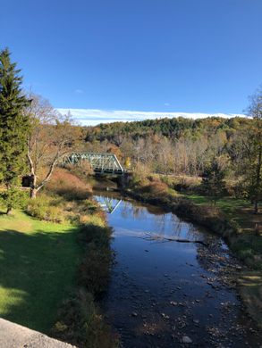
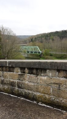
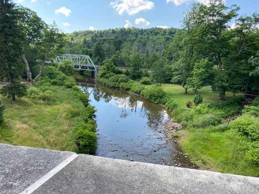
Fortunately for Shrivers (and many others since!), the bridge never did fall, and during its peak use it helped usher the movement of countless wagons, horses and travelers headed west. The bridge carried on through the advent of the automobile. In the 1930s, an iron truss bridge was built on adjacent Route 40, and when the stone bridge began to fall into disrepair it was restored and preserved as a beautiful sight, even if it’s no longer used to cross the river.
The Bridge is also the site of the only known natural lake that ever existed in Maryland. Called Buckel’s Bog, it was a 160-acre shallow periglacial lake (actually a glade) that existed during the late Pleistocene Era (19,000-14,000 years ago). All of the current “lakes” in Maryland are manmade reservoirs created by damming rivers.
Know Before You Go
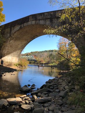
The bridge lies along the Old National Road in Western Maryland and easily accessed from Route 68 which runs adjacent to Route 40 (you get three bridges in one view from this spot). It is located in a small state park that allows visitors to picnic or visit the adjacent historic Alpine Village with historic log cabins, inns and recreated buildings from the golden age of the old National Road.
Community Contributors
Added by
Plan Your Trip
The Atlas Obscura Podcast is Back!











Follow us on Twitter to get the latest on the world's hidden wonders.
Like us on Facebook to get the latest on the world's hidden wonders.
Follow us on Twitter Like us on Facebook