About
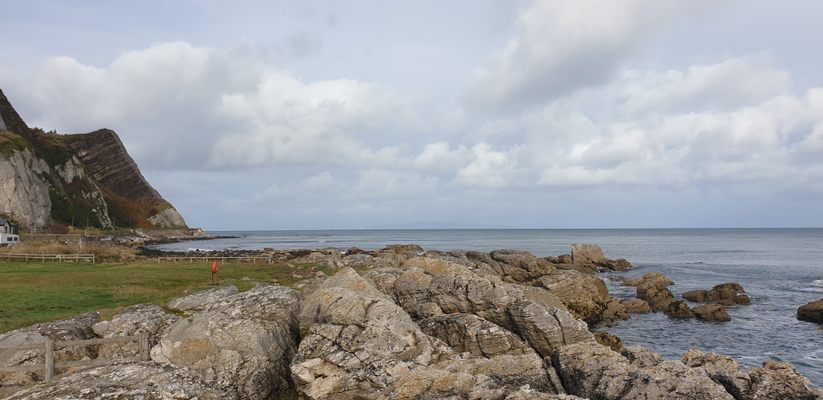
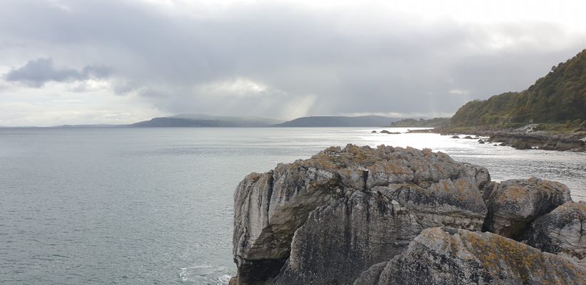
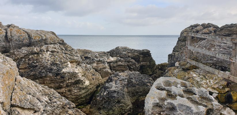
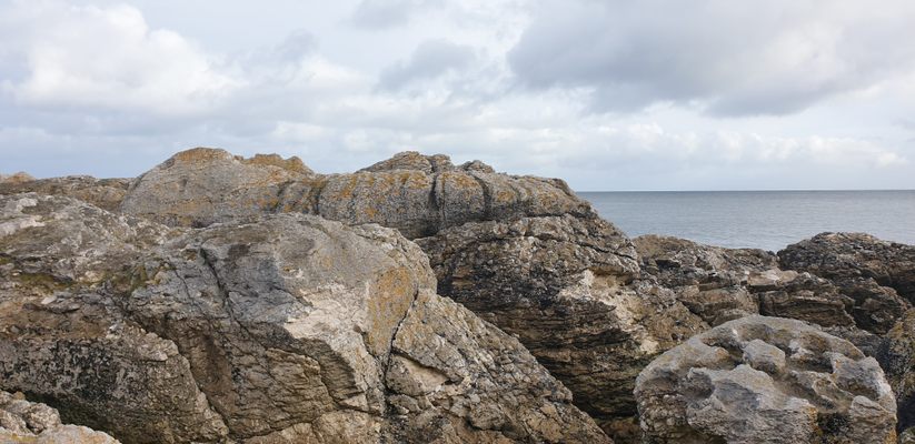
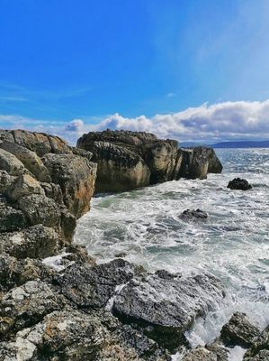
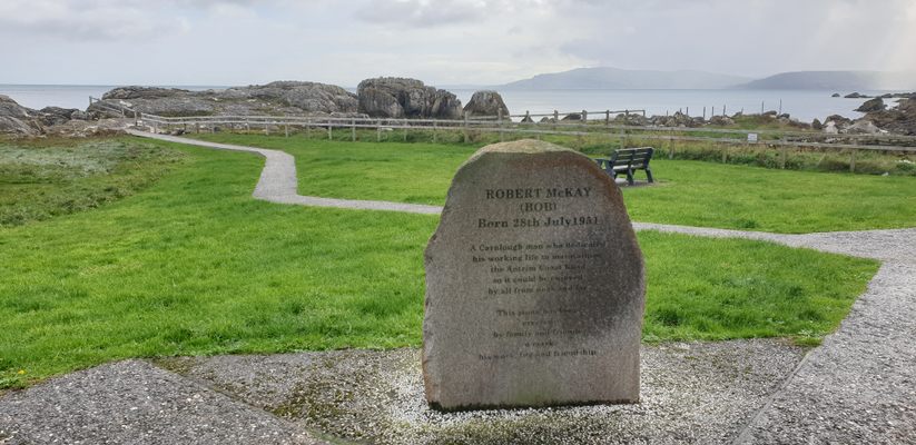
Garron Point is just one of the many spectacular headlands along the Antrim Coast Road and the wonderful Glens of Antrim. From this location, visitors are treated to views of the Scotland Coastline such as the Mull of Kintyre and the island of Ailsa Craig, along with unprecedented views of the Antrim Coast and Glens Area of Outstanding Natural Beauty (AONB).
Garron Point is located just north of the beautiful stone harbor village of Carnlough and is part of the townland of Glencloy. On top of the adjacent cliffs is the Garron Plateau, which is an Area of Scientific Interest (ASSI) as it is the largest area of blanket bog in Northern Ireland. It's comprised of a complex network of peat bogs that supports a wide range of local native flora and fauna.
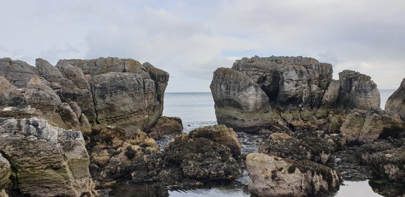
The name Garron comes from the Gaelic Irish “Gearr Rinn” meaning cut or short headland. Garron Point is known for its Magpie Coast due to the distinctive white and blackish coloring of the Limestone and Basalt cliffs.
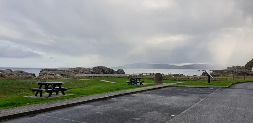
Garron Point is a great place to have a picnic and relax, there are even some local delicacies available during the summer when residents sell the salty seaweed known as dulse to local travelers.
Related Tags
Know Before You Go
To get Garron Point you must travel up the Antrim Coast Road from Larne. You will pass through the villages of Ballygally, Glenarm, and Carnlough along your way, but before you get to the next village of Waterfoot you will come across a small coastal car park with some terrace cottages alongside it.
This is Garron Point just located slightly south of the headland of Garron Head and above in the adjacent Cliffside is the Garron Plateau. The best way to get here is by driving or cycling along the Antrim Coast Road.
Published
February 9, 2022
