About
Possibly the most famous roadway in the United States, Route 66 is the stuff of legend.
The popular East-to-West migration path brought people out west during the Dust Bowl era, supported economies all along its twists and turns when rough times were upon us, and 85% of the original roadway still manages to survive despite the emergence of the Interstate Highway System.
Even if you've never had the pleasure of traveling its rambling route, you probably know the path it takes due to the popular song that lists all of its stops. But despite being able to sing a list of the cities it services, little thought is given to where it ends, as it's so often thought to be a sunbaked desert highway.
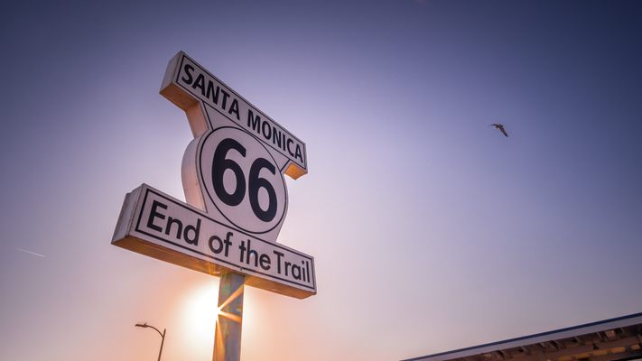
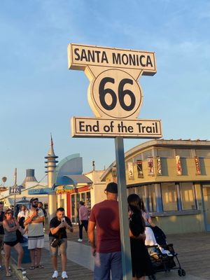
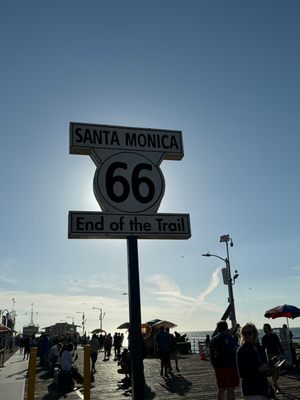
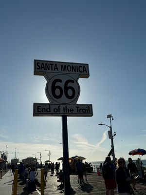
Many simply imagine it just runs right into the Pacific Ocean. And while it officially had to end at a highway intersection (originally with El Camino Real at 7th and Broadway in downtown LA and later at Lincoln and Olympic to reach Pacific Coast Highway without plunging over the edge of the Palisades), the travelers, many of whom came from far inland, kept going until they could touch the Pacific. In an effort to end the epic highway on a high note, Dan Rice of 66 to Cali (who bought the logo to raise awareness of 66 through a souvenir shirt company and had created temporary end signs several months earlier), the Route 66 Alliance and the Santa Monica Pier Restoration Corp. got together and on the 83rd anniversary of the highway's inception, dedicated the sign to mark the long tradition of journey's end at Santa Monica Pier.
Rumors had abounded about a movie prop sign left behind decades earlier, and an image surfaced purporting to show the original placed in Palisades Park.
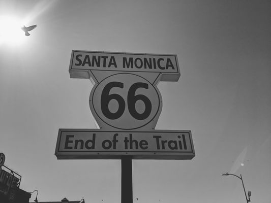
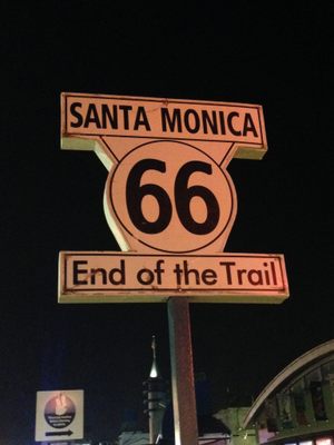
When the pier was recognized (US Highway 66 was officially decommissioned in 1985) as journey's end for Route 66, it only made sense for a replica of the long-missing sign to be erected looking out over the Pacific in a symbolic display of what was the destination of so many travelers over the last century. Both sides are labeled "End" so that visitors ask "If it ends here, where does it go?". After all, 66 today is about the journey as much as the destination.
It is now believed the rumors referred to the Will Rogers Highway placard at Santa Monica and Ocean Boulevards, which was placed as part of a promotional tour for The Story of Will Rogers (1952) that ran from Chicago to Santa Monica. The image that was the source of the sign's design is now believed to have been a photo collage of murky origin.
Though it isn't an official highway sign — you don't want to run highway traffic into the ocean — the End of the Trail sign serves as an inspiration to thousands of visitors each year that 66 is more than a relic of what used to be; it's a journey through the heart of the country where the meals are homemade and the neon still glows that still kicks 35 years after being officially decommissioned.
Related Tags
Know Before You Go
Drive west onto Colorado Ave. until it dead ends at Santa Monica Pier. Then walk straight out on the pier for 200 feet. The sign is just past the Bubba Gump shrimp franchise and the 66-to-Cali Route 66 info kiosk and just before the Playland arcade.
Community Contributors
Added By
Published
July 25, 2010
Sources
- https://www.66tocali.com/ourstory
- https://www.independent.co.uk/news/world/americas/end-of-the-road-for-route-66-1819937.html
- Dan Rice, owner, 66-to-Cali, Inc.
- Ian Bowen, highway historian and photographer, www.ianbowenstudio.com
- "Finding the End of the Mother Road" by Scott Piotrowski (out of print)
