About
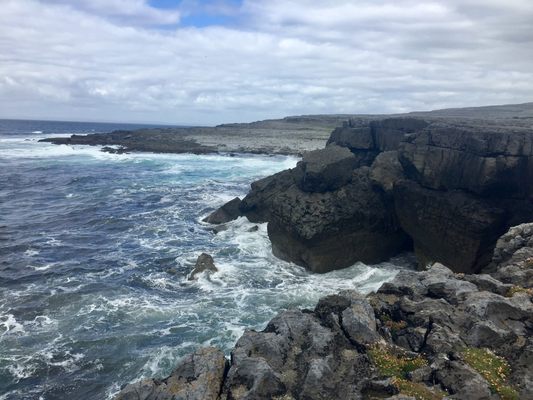
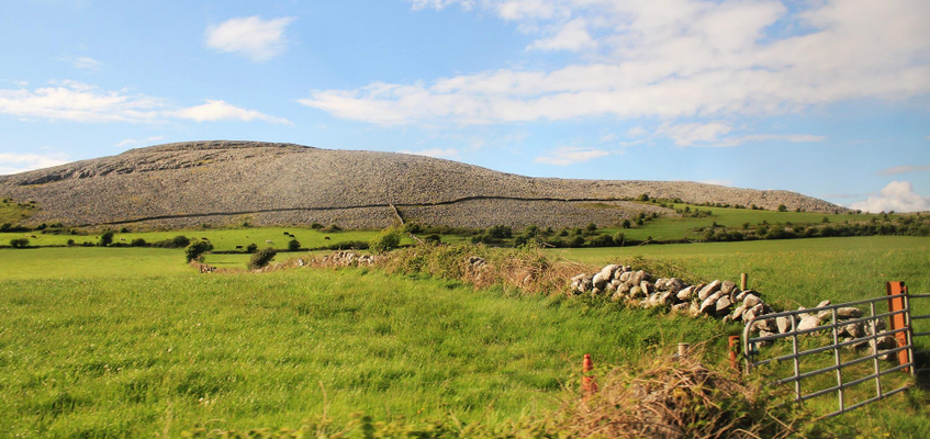
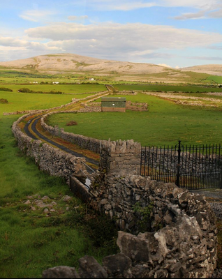
Located in southwest Ireland in County Clare, this vast geological flatland seems like a rocky surface from outer space.
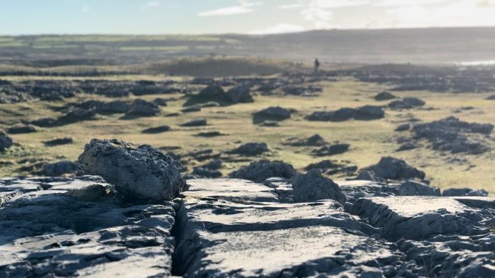
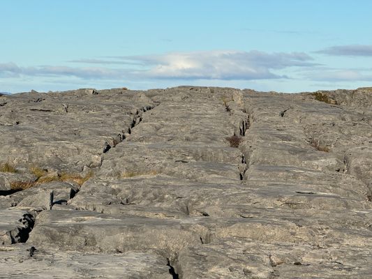
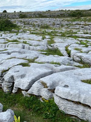
The name “Burren” comes from the Irish word meaning “Big Rock,” and appropriately so; the almost 100 square miles the region encompasses are covered in crags, cracks known as “grikes” and stand-alone rocks called “clints,” and sheets of stone that stretch into the horizon.
The Burren is a karst landscape, meaning it was formed when soluble rocks like limestone, gypsum, and dolomite dissolved. It’s also characterized by underground sinkholes and caves that combine to give it a unique and ever-changing topography.
The Burren National Park is the smallest of six national parks in Ireland. The region is surrounded by villages such as Kinvara, Tubber, and Kilfenora and reflects a rich archaelogical history, containing almost 100 megalithic tombs and portal dolmens like the Poulnabrone dolmen.
Related Tags
Community Contributors
Added By
Published
July 29, 2016
