


About
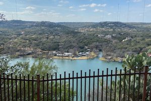
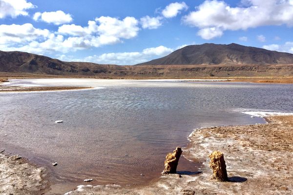
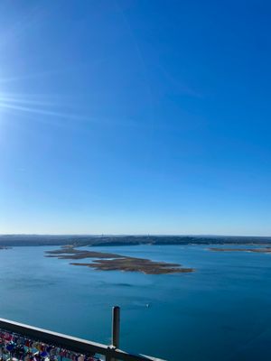
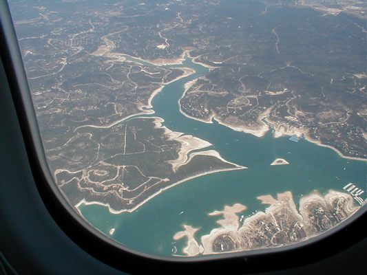
At normal water levels, these "islands" are submerged or barely visible, but due to drought, they have actually become a peninsula.
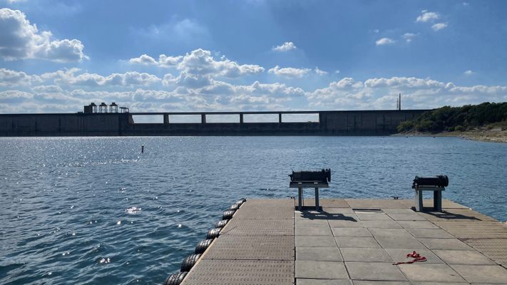
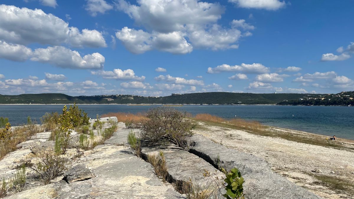
They have been exposed for so long that Saltcedar bushes are beginning to colonize them, and there appear to be dusty remnants of a road from before the Mansfield Dam was built (an austere yet elegant Art Deco hydroelectric facility finished in 1941).
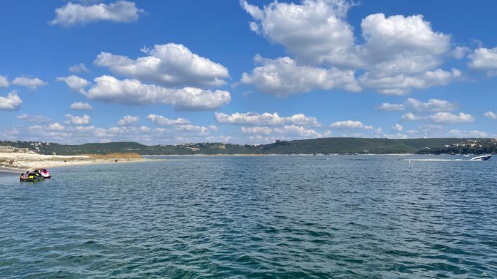
It is a surprisingly popular spot for kayakers, whether they are barely above the waterline—or in this case actually connected to the land. The Sometimes Islands have not been a peninsula since the 1960s, the narrow channel separating them from land drying up in 2009. Old-time locals will tell you that this land was once cattle grazing land before the flooding took place.
The Sometimes Islands appear serene and devoid of people as they are uninvitingly rocky and bushy, not terribly appealing to less... adventurous or curious folk. Since it is now a sometimes peninsula jutting 3/4 of a mile into the southern bend of Lake Travis, it can currently be reached on foot from Mansfield Dam Park.
Once there, if one looks closely, pieces of concrete foundations and rusty metal things are visible, and there are gnarled, twisted Juniper stumps (a wood that doesn't rot) still present from before the inundation, now exposed once again.
It is not certain how much longer the Sometimes Islands will be here, but it will likely be a while before they disappear to lurk below Lake Travis's waters again.
Update 2015: El Nino has caused an extended and heavy monsoon season since the end of the short winter, the water levels have already risen about 20ft in the past few months, the islands are likely to nearly disappear by the summer, but that is just the natural course of things. As of now, it is very unlikely that they are still accessible on foot.
Update 2016: Lake Travis reached its ninth-highest level ever in early June (121% of the defined "full" level of 681' MSL). While the level has once again receded, the lake is still 97% full as of late July, and the Sometimes Islands are currently submerged. The peak of the island is in the 665-670' range. The current level of Lake Travis and the other Highland Lakes can be found here.
Related Tags
Community Contributors
Added By
Published
July 21, 2016