
About
At first glance, Tide Lock Park appears to be a quiet pocket of greenery tucked between office buildings and the Potomac River. Benches face the water, flowers rise from landscaped beds, and the Mount Vernon Trail passes nearby. At the park’s center, however, a long stone chamber recalls an ambitious transportation project that once connected Alexandria’s wharves to the American interior.
The Alexandria Canal was conceived by local merchants who feared that Georgetown would capture the growing trade moving through the Chesapeake and Ohio Canal. Their answer was a roughly seven-mile extension that carried canal boats from Georgetown across the Potomac by aqueduct, through what is now Arlington, and south to Alexandria.
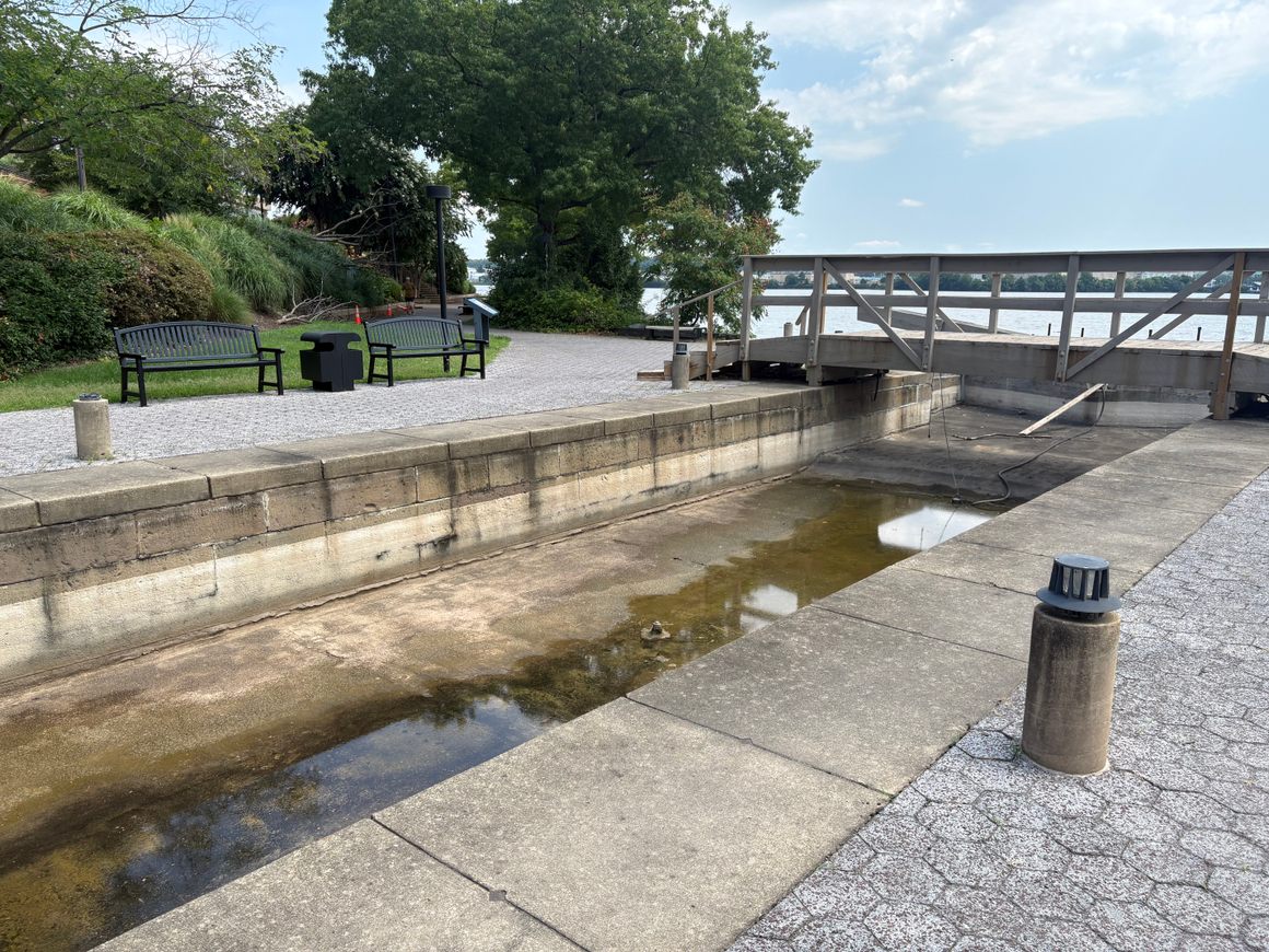
The canal reached Alexandria in 1843, although the locks leading down to the river were not completed until 1845. Four locks and three basins lowered boats approximately 40 feet from the canal’s inland elevation to the Potomac. The tide lock at the eastern end was the last mechanical step before cargo met the river.
Coal from western Maryland became the canal’s most important commodity, but boats also carried grain, flour, lumber, fish, whiskey, plaster, and other goods. At Alexandria, cargo could be transferred to oceangoing vessels waiting at the wharves. The lock was therefore more than a piece of engineering. It was a hinge between inland extraction, waterfront labor, and international commerce.
The Civil War changed the canal’s purpose. In 1861, Union forces drained sections of the canal and its aqueduct, using the route for troop movement and military defenses. The damaged canal reopened after the war, but it faced increasing competition from railroads and steam-powered tugboats. When part of the aqueduct structure failed in 1886, the canal closed for good.
Most of the waterway disappeared beneath roads, rail lines, buildings, and other modern construction. Alexandria archaeologists began investigating its surviving locks in the late 1970s. They excavated the outlet lock and basin near the Potomac, and the site was listed on the National Register of Historic Places in 1980.
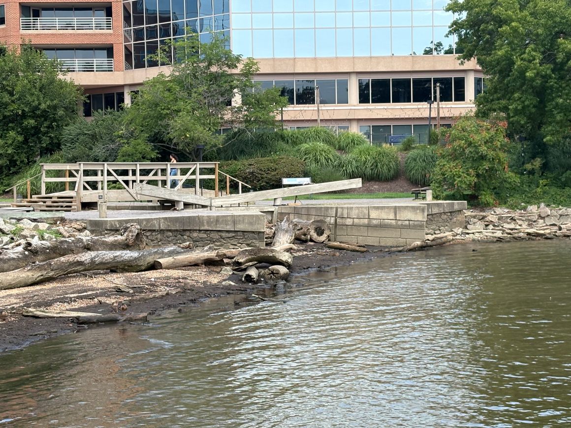
Today’s lock is an interpretive reconstruction rather than a completely intact 19th-century structure. It incorporates original canal wall stones and outlines the chamber where boats once rose and fell with controlled water. The reconstruction allows visitors to read the landscape in three dimensions, even when the lock is dry and the Potomac has deposited driftwood along its edge.
The canal continues to emerge elsewhere in the city. Archaeologists uncovered portions of Lock No. 4 and an adjoining basin during redevelopment several blocks inland in 2024. Before those remains were removed, specialists documented them through excavation, photography, and a detailed three-dimensional scan containing hundreds of millions of measured points. Some recovered stones are being preserved for possible reuse in Alexandria’s waterfront parks.
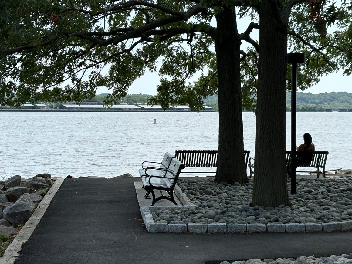
Tide Lock Park belongs to a larger landscape of interconnected public spaces along Alexandria’s Potomac waterfront. A visitor can follow the shoreline through Oronoco Bay Park, Founders Park, Waterfront Park, Jones Point Park, and other green spaces, encountering centuries of transportation, industry, archaeology, recreation, and community life along the way.
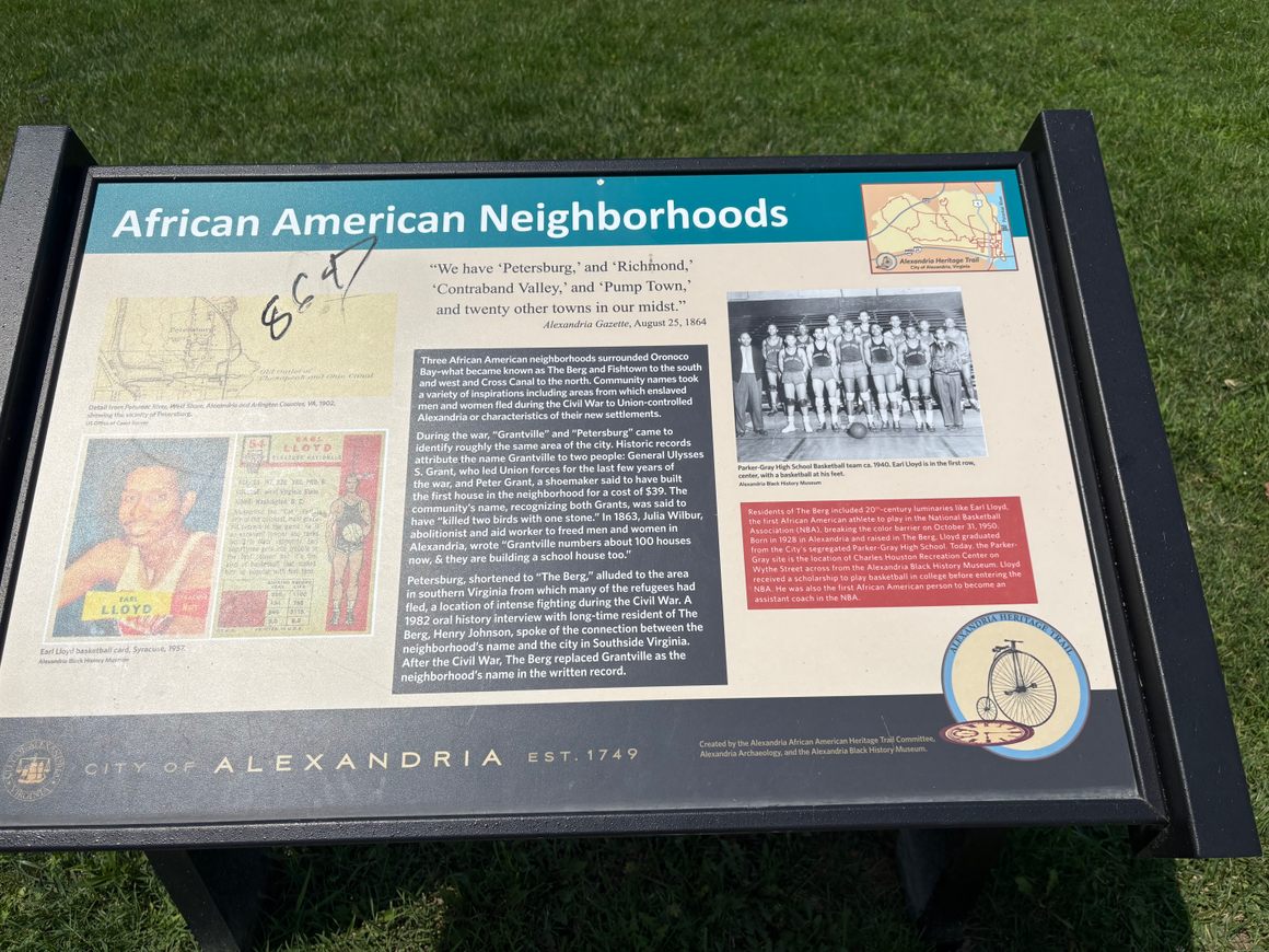
The park is also part of Alexandria’s African American Waterfront Heritage Trail. Interpretive signs describe African American neighborhoods that developed around nearby Oronoco Bay, including Petersburg, also known as Grantville or the Berg, and Fishtown. Some community names recalled places in Virginia from which enslaved people fled during the Civil War before seeking freedom and safety in Union-controlled Alexandria.
The trail broadens the story told by the lock. The canal explains how goods moved, but the surrounding signs ask visitors to consider who lived and worked along this changing waterfront. They trace experiences ranging from slavery and the domestic slave trade to emancipation, neighborhood building, industrial employment, recreation, and achievement. Among the people remembered is Alexandria native Earl Lloyd, who became the first African American to play in an NBA game.
Know Before You Go
Tide Lock Park is therefore less a single destination than an opening chapter. Follow the water in either direction, and Alexandria begins to reveal how commerce, engineering, war, forced migration, freedom, labor, and community converged along one stretch of the Potomac.
Tide Lock Park is located at 1 Canal Center Plaza in North Old Town Alexandria. The park is privately owned but forms part of the publicly accessible linear park system along the waterfront. City park hours are sunrise to sunset.
How To Get There
The easiest approach is on foot or by bicycle from the Mount Vernon Trail. Tide Lock Park sits just north of Oronoco Bay Park and approximately one mile north of the foot of King Street. Benches and river views make it a convenient resting point during a longer waterfront walk.
Look for the reconstructed lock chamber, wooden gate elements, original canal stones, and interpretive panels. The lock may be dry, and tides or storms can leave mud and driftwood near the river’s edge.
The African American Waterfront Heritage Trail extends approximately 3.2 miles through interconnected northern and southern routes. Visitors can use the City of Alexandria’s online StoryMap while walking. Allow extra time to read the signs and continue through the surrounding waterfront parks.


