


About
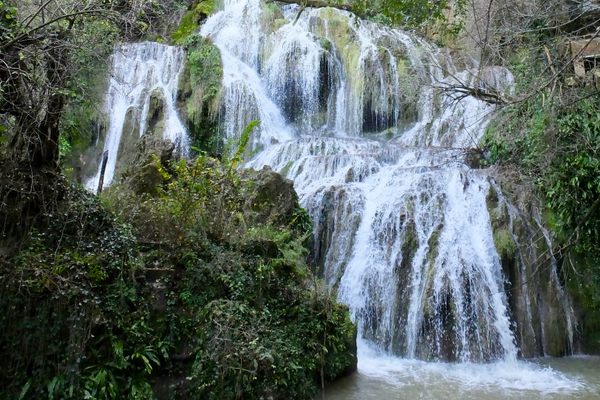
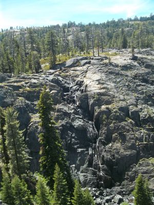
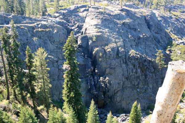
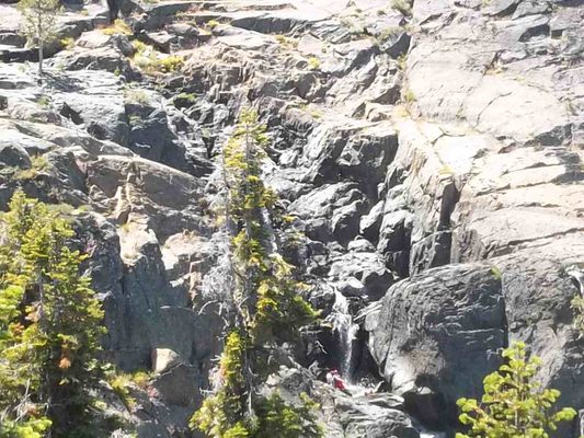
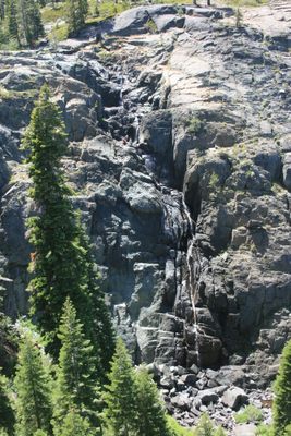
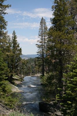
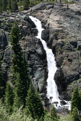
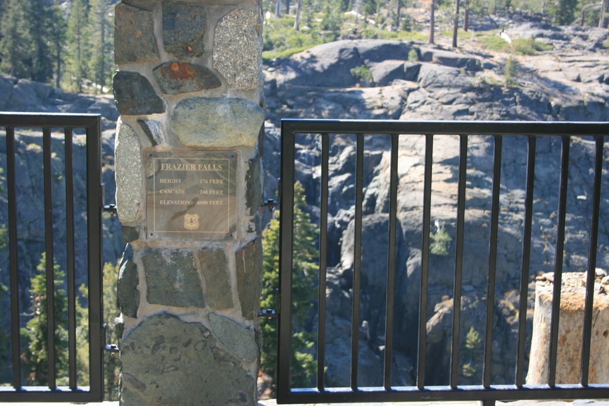
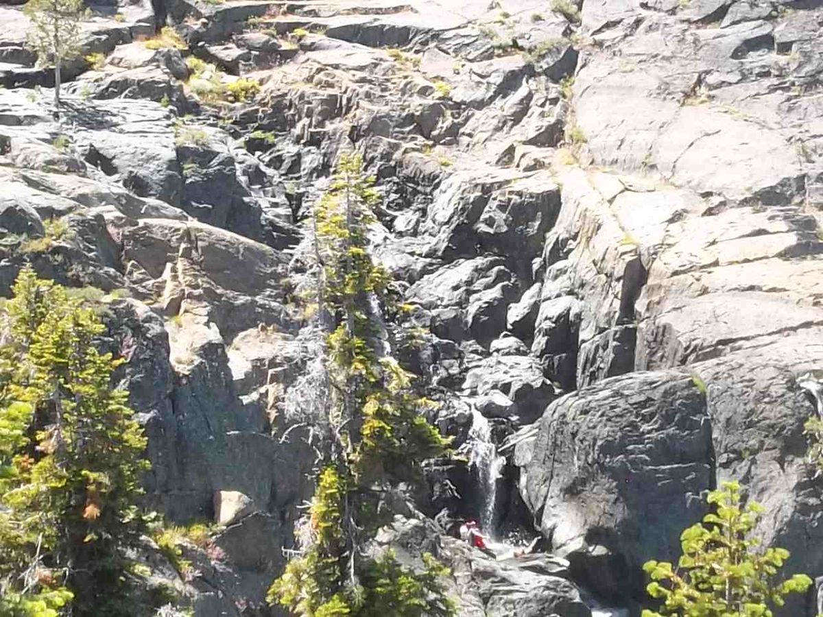
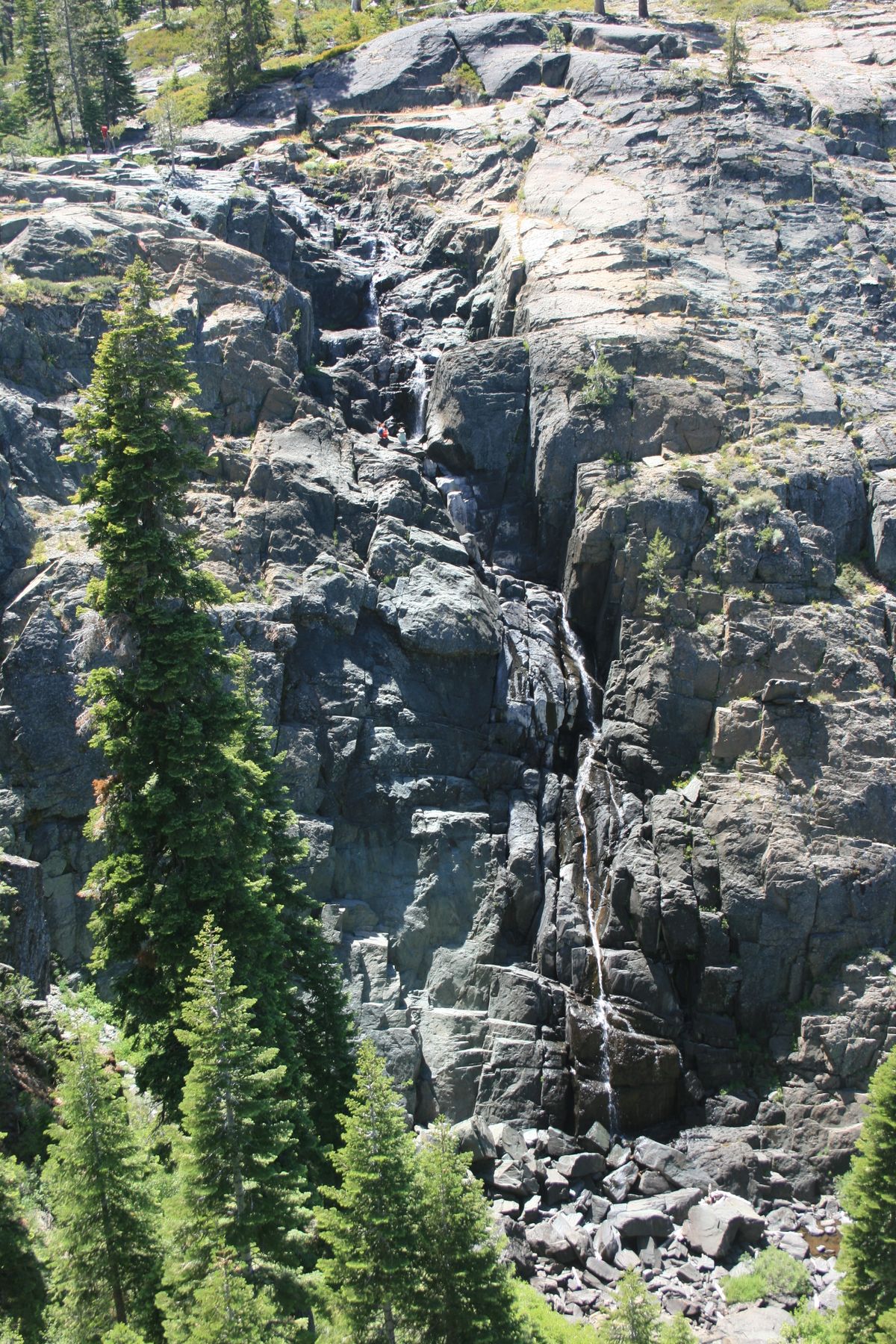
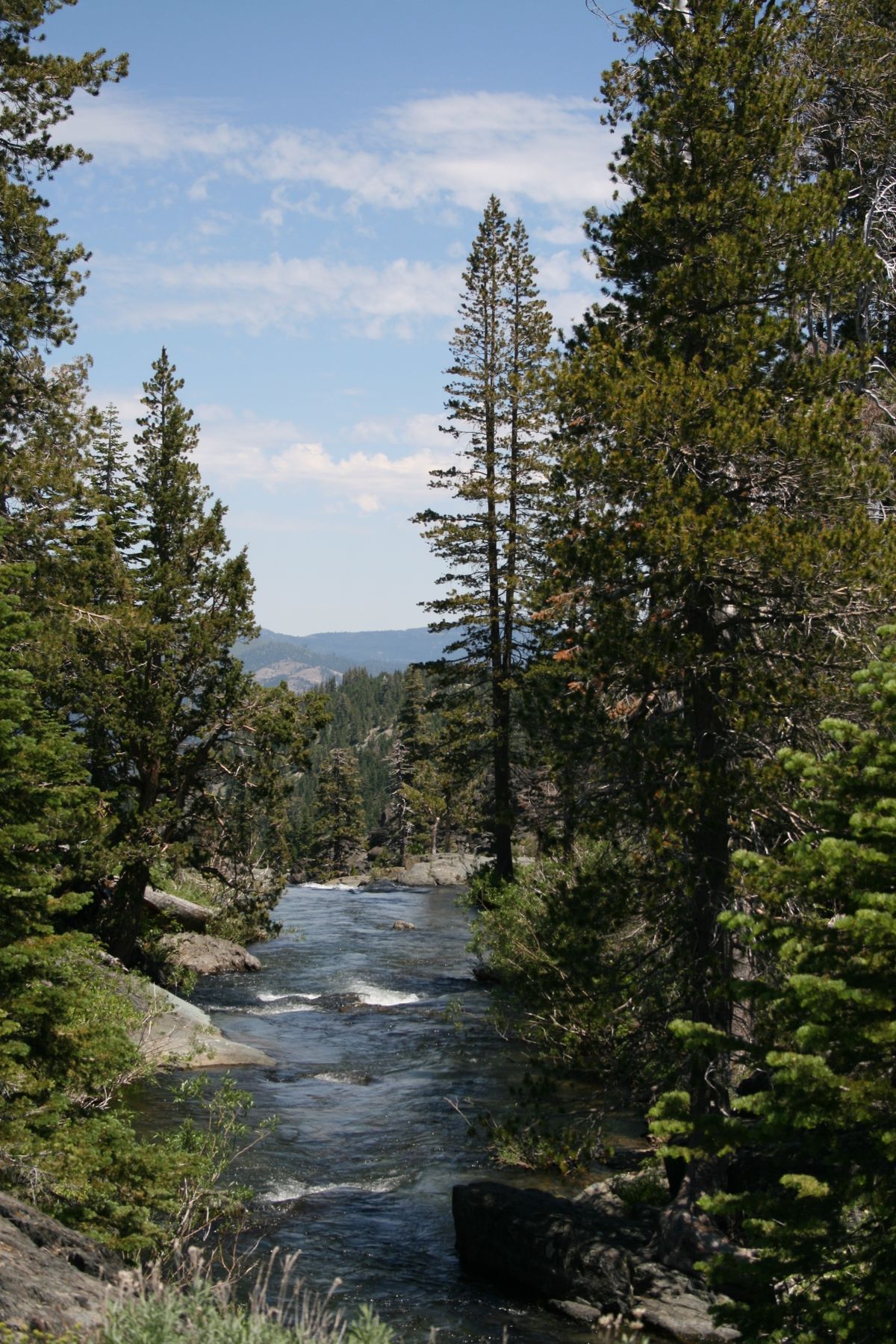
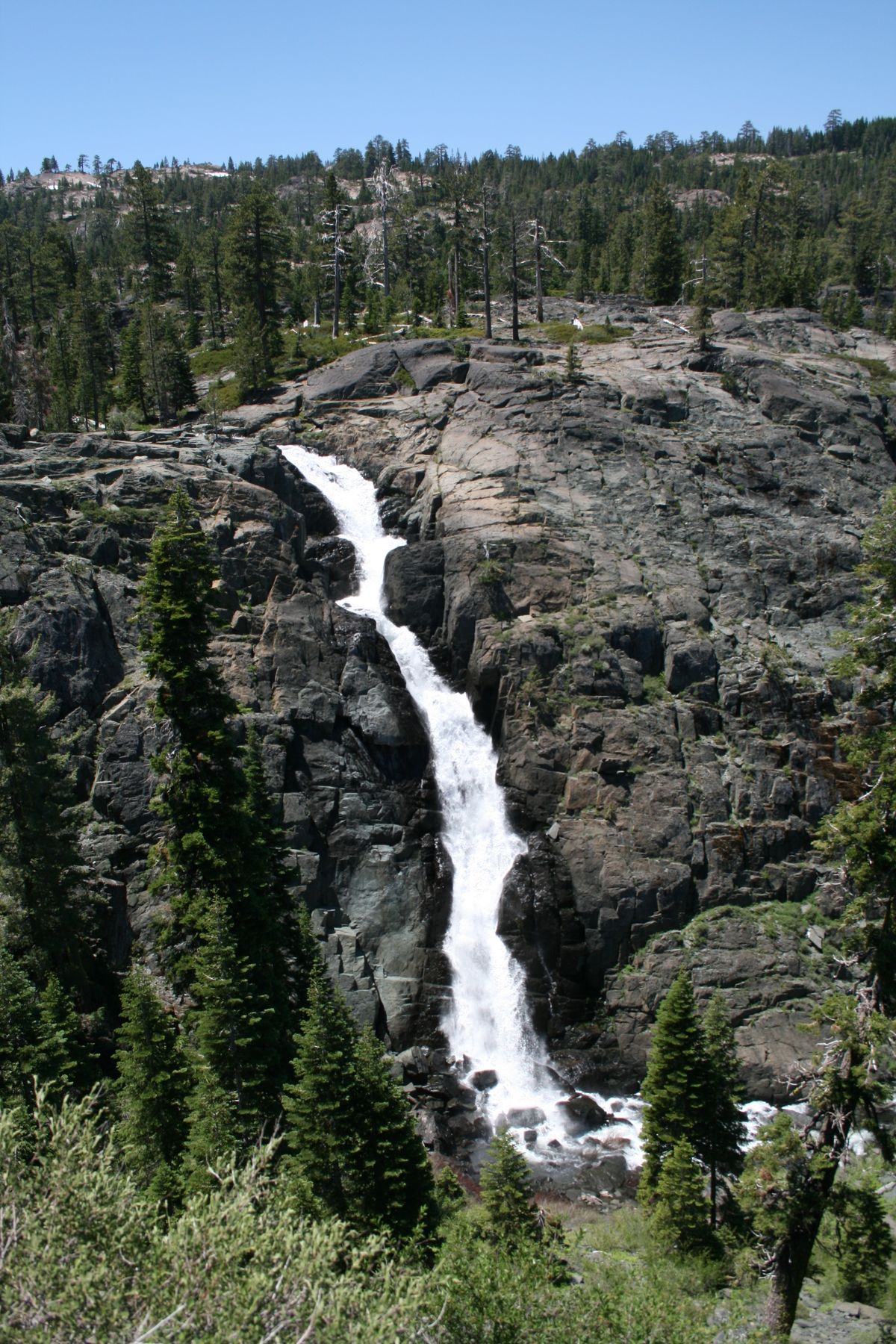
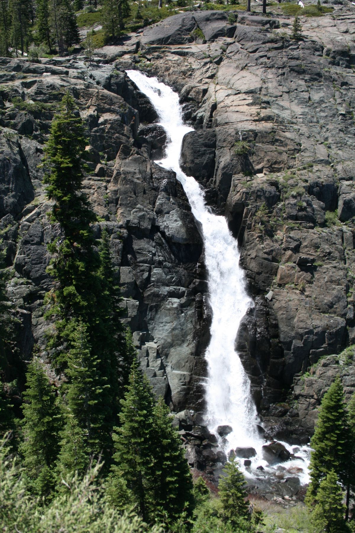
Frazier Falls, located on Frazier Creek, is the scenic highlight of the Twenty Lakes Basin, an area characterized by glacial terrain in granite bedrock in which there are plenty of alpine lakes and streams.
The falls reside in the vague northern end of the Sierra Nevada. Frazier Creek is the outflow stream for Gold Lake, one of the largest lakes in the region.
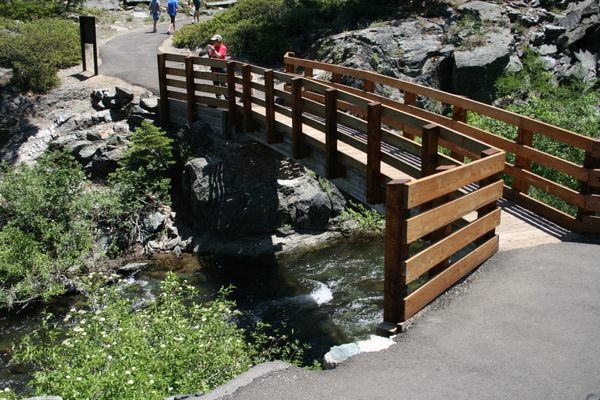
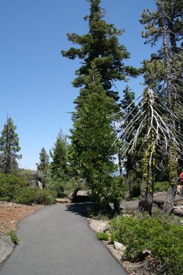
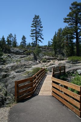
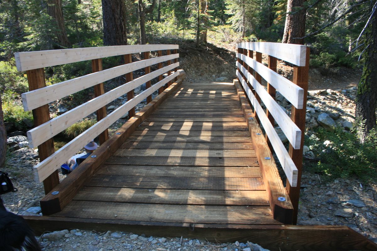
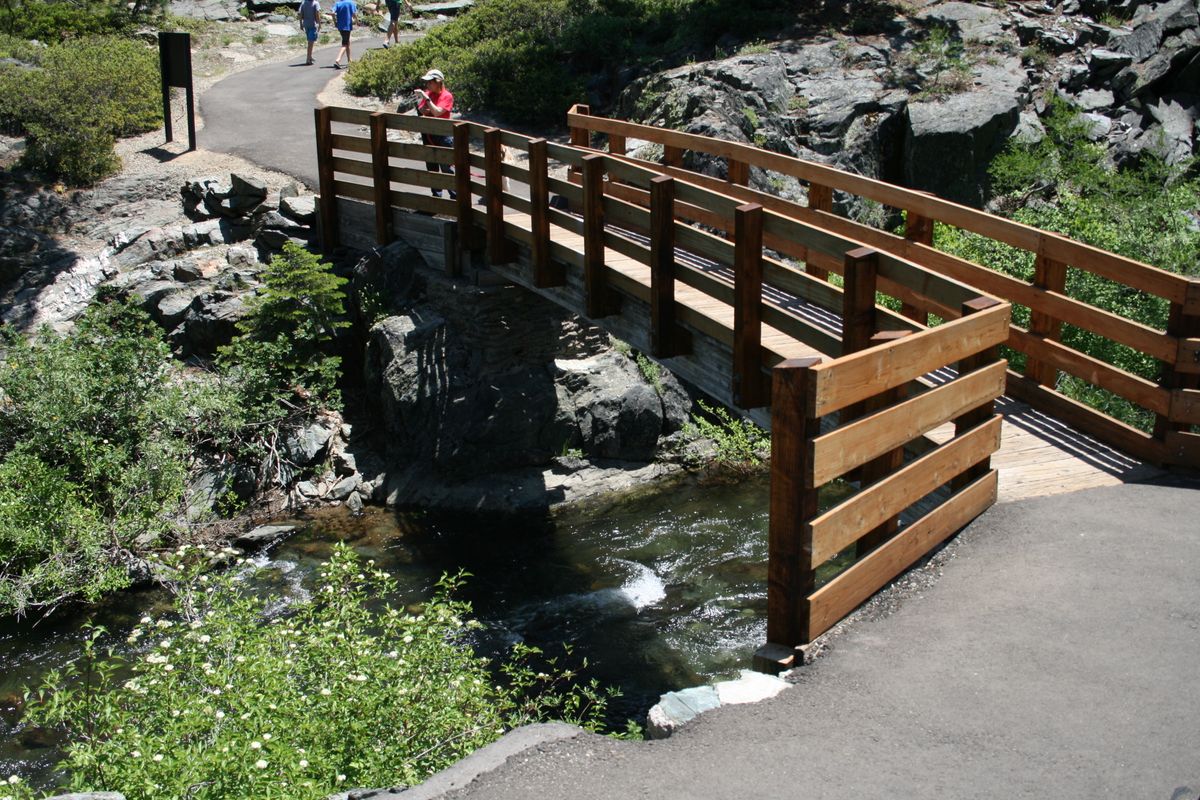
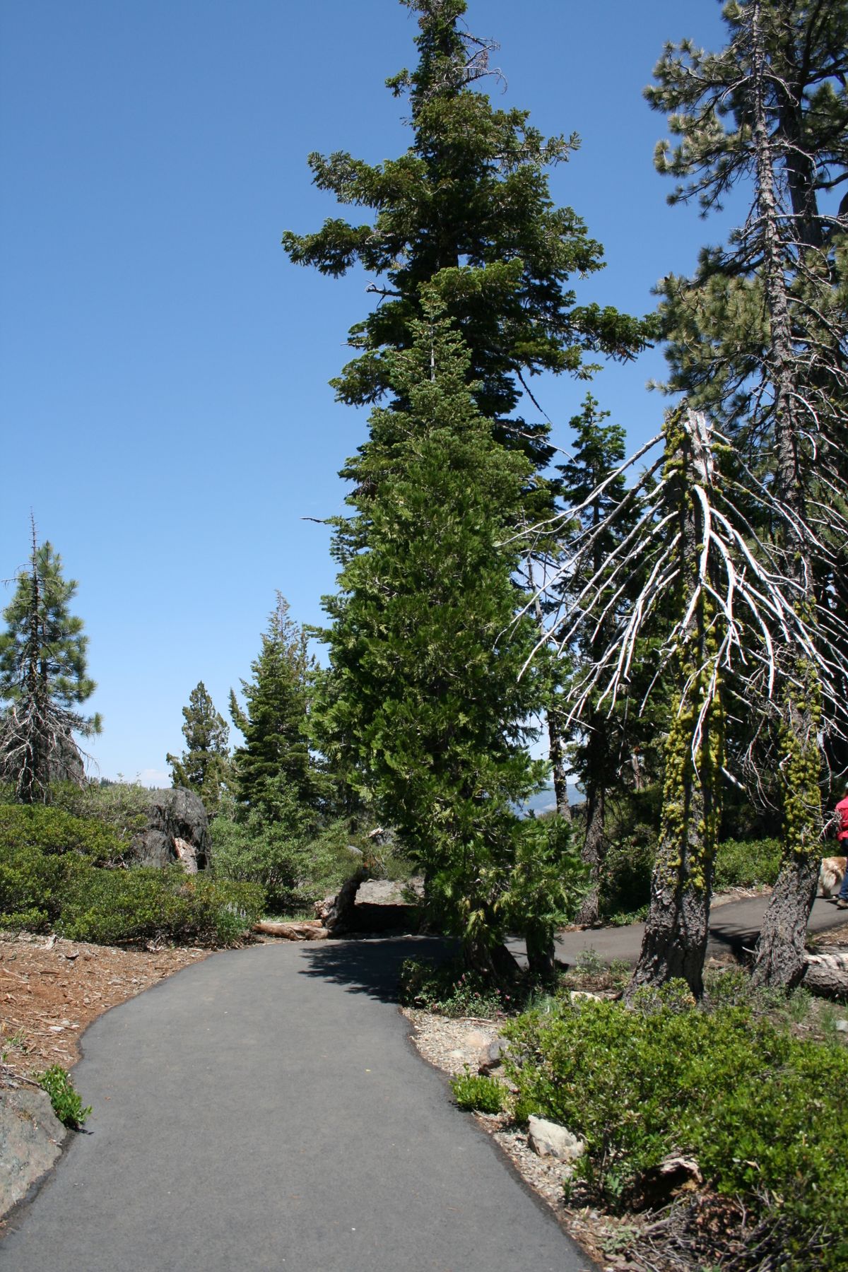
The trail to the falls viewpoint is paved and wheelchair-accessible. A network of hiking trails also crosses the area.
Related Tags
Know Before You Go
From Graeagle, go south about 1.5 miles on California State Route 89. Turn right onto Gold Lake Highway. Drive 1.5 miles and turn left at Frazier Falls Road (USFS 501). Continue four miles along this narrow paved road to the trailhead parking area.
Alternatively, follow the Gold Lake highway for another 6.8 miles and turn left opposite the Gold Lake turnoff onto Frazier Creek Road (USFS 820). This way is shorter but not paved.
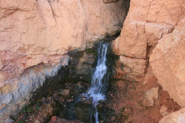
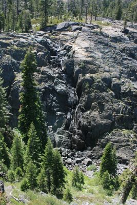
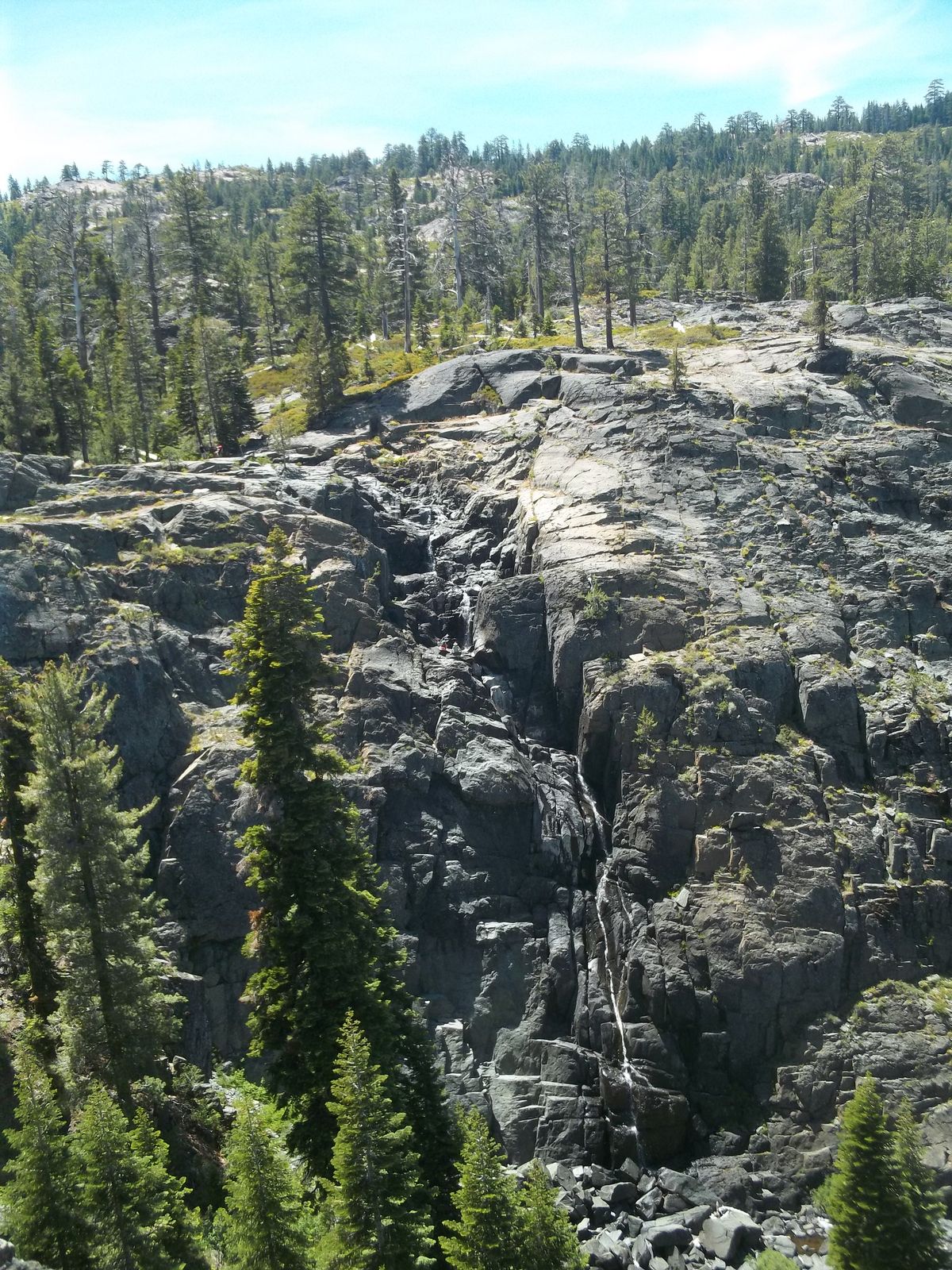
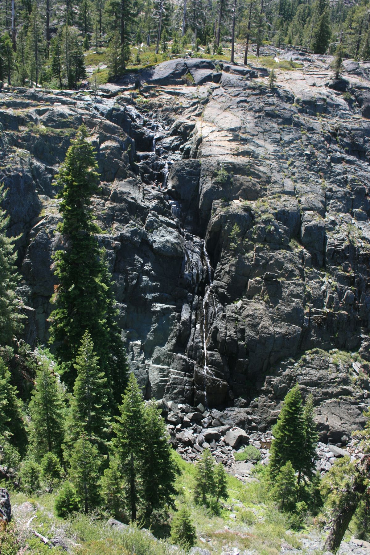
The falls are best viewed early in the season as they can dwindle to a trickle by fall. However, the road usually does not open until June due to snow cover, and snow can linger even later on the trail, so finding the best visiting time involves a tradeoff. Check with the Forest Service office if it's important that the trail be clear of snow.
Community Contributors
Added By
Published
June 6, 2022