Q'eswachaka Rope Bridge
Keshwa chaca, among the last handwoven Incan bridges, crosses Apurimac Canyon in Peru.
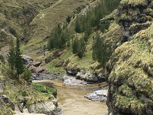
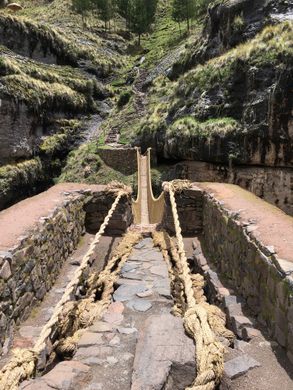
Known as Q’eswachaka (the first syllable is a lateral “click”), Queshuachaca or Keshwa Chaca, this is one of the only remaining examples of the Incan handwoven bridges once common in the Incan road system.
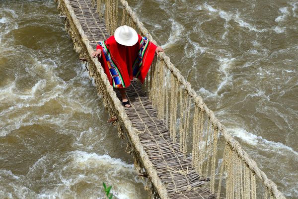
Made of woven straw, the bridge spans 118 feet and hangs 60 feet above the canyon’s rushing river. The Incan women braided small, thin ropes, which were then braided again by the men into large support cables, much like a modern steel suspension bridge. Handwoven bridges have been part of the trail and roadway system for over 500 years, and were held in very high regard by the Inca. The punishment for tampering with such a bridge was death.
Over time, however, the bridges decayed, or were removed, leaving this last testament to Incan engineering. The bridges’ sagging was addressed by destroying and rebuilding it in an annual ceremony—originally considered a social obligation under Inca rule, and now preserved as a way of honoring their history by the nearby community of Quehue, Peru. This bridge has been christened with a traditional Incan ceremonial bridge blessing and is in extremely good condition.
Every June, Quechua communities gather on the banks of the Apurimac River to renovate the bridge. On this day, they manifest their honour to Pachamama, the Earth Mother, and behold archaic traditions. When the work is over, people express gratitude to Apus (mountain spirits) and afterward celebrate with music, traditional food and drinks
Know Before You Go
From Sicuani, follow signs to Arequipa (a left turn if you are on the main highway facing toward Cuzco). Continue on that road until you begin seeing signs for Quehue. From Quehue, continue through town to the west (probably best to ask directions from a local at this point). When you cross the Apurímac River on the steel roadway bridge, Q'eswachaka is on your right. There is one walkway down to it on either side of the roadway bridge (about 100 m away from the bridge in both cases). The geocoordinates are -14.3811214,-71.484012.
Community Contributors
Added by
Edited by
Plan Your Trip
The Atlas Obscura Podcast is Back!










Follow us on Twitter to get the latest on the world's hidden wonders.
Like us on Facebook to get the latest on the world's hidden wonders.
Follow us on Twitter Like us on Facebook