AO Edited
Rainbow Valley
This sacred site lives up to its name with its majestic, color-splashed sandstone formations.

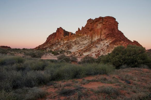
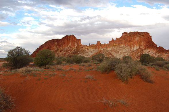
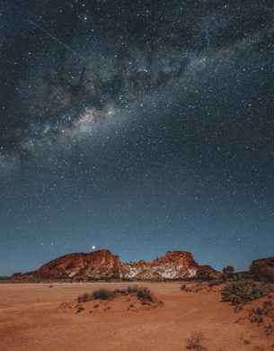
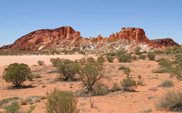
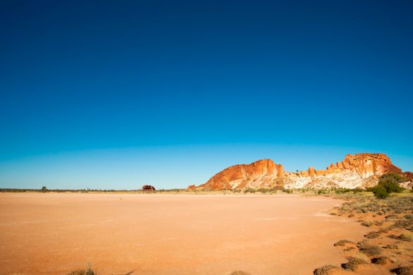
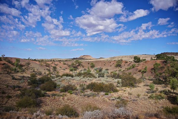
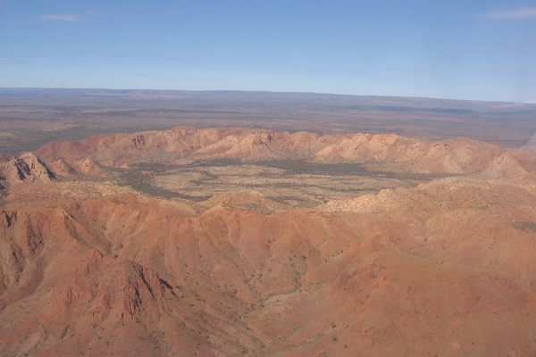
When the sun rises over Rainbow Valley, a national conservation area located about 75 kilometers (43 miles) south of Alice Springs in Australia’s Northern Territory, it can feel like magic. Light from an early morning sun cascades over majestic rock formations, changing their colors into a kaleidoscope of red, orange, and purple. After a rainstorm, the colors stack against the sky and the dry claypans fill with water.
The southern Arrente people who have called this area home for thousands of years know it as Wurre. Since 2008, the land has been jointly managed by the Arrente (the traditional owners) and the Australian government. It is a truly special site that has been millions of years in the making.
Rainbow Valley’s colorful name comes from its distinctive sandstone bluffs, which first formed 350 million years ago. Though today the area is mainly dry, back then it was much wetter. The vibrant red color streaking in layers of rock formed as the iron in the sandstone dissolved. As the area became dryer over the eons, the red color moved closer to the surface, creating stripes of red against the white layers of sandstone.
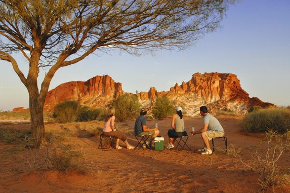
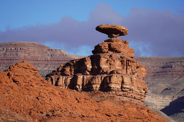
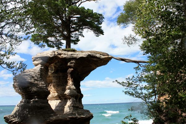
Rainbow Valley is best accessed by four-wheel drive, but hiking is also a popular way to explore. The walk is another way to see the way that erosion has created a unique landscape. There are fallen rocks dotting the pathways, up-close views of the claypans, and a view of Mushroom Rock, an arching formation with a natural tunnel through it that was formed by wind and rain erosion. There are two walking trails—the Claypan Walk and a loop to Mushroom Rock.
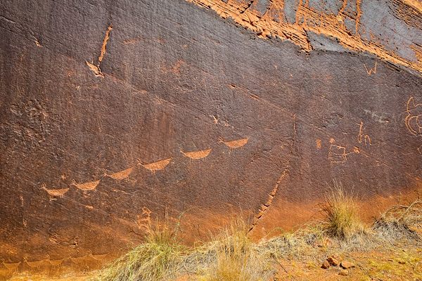
Beyond its natural beauty, Rainbow Valley is also a sacred spot for the southern Arrernte people. There are more than 40 historically and culturally relevant sites in Rainbow Valley including petroglyphs, paintings, grinding stones, and tools. One particular rock formation known as Ewerre is a registered sacred site. As one native title holder said of the region, “Rainbow Valley has always been our country, handed down from grandfather to grandfather.” Because this is sacred land, many of the historical sites are only available to view with a permit and/or a guide.
Maybe the most important thing to remember about the landscape of Rainbow Valley is something that every visitor sees on one of the park’s interpretive signs: “When we look at the land, it’s part of us—not just a pretty sight. It’s about keeping the country alive for future generations.” Every footstep, every photograph, every campsite is another chance, not just to admire the view, but to protect the land.
Know Before You Go
The park is open year-round, but it’s good to always check the roads before your travel as rain can cause obstructions. Between October and April, the summer sun is in full force which makes it the perfect time for those who want to visit secluded desert water holes. In winter temperatures can range between 4.8 - 20 degrees Celsius (40.6 - 68 Fahrenheit), so be aware of seasonal temperatures when planning your adventures.
There are camping facilities located in two designated areas with toilets, gas barbecues, fire pits, and picnic areas. Sites must be booked in advance, and you’ll need to bring your own food, firewood, and water.
The Ewerre is a site of spiritual and historical significance, as such visitors are asked not to photograph this area or remove any rocks.
Plan Your Trip
The Atlas Obscura Podcast is Back!


Follow us on Twitter to get the latest on the world's hidden wonders.
Like us on Facebook to get the latest on the world's hidden wonders.
Follow us on Twitter Like us on Facebook