


About
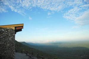
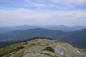
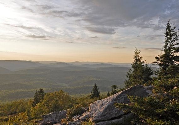
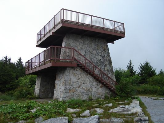
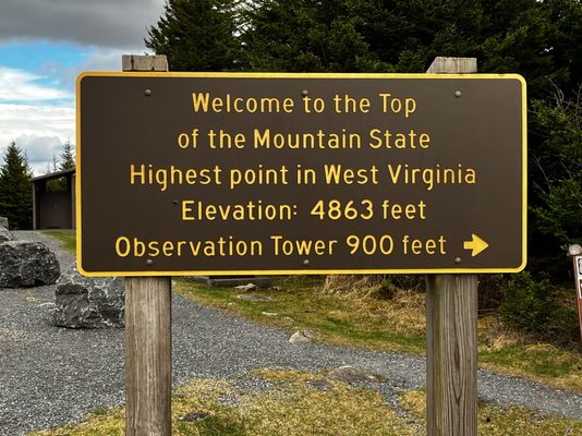
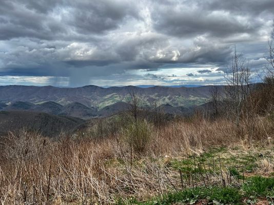
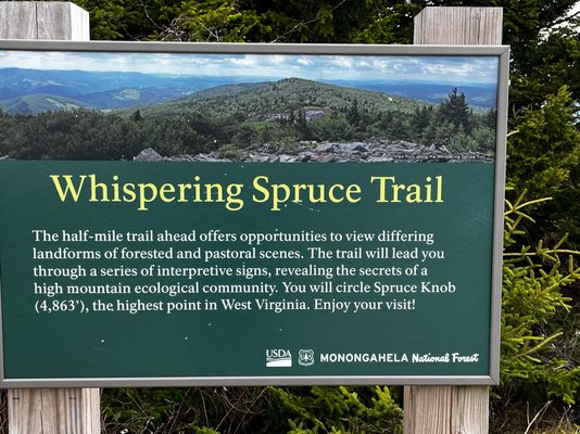
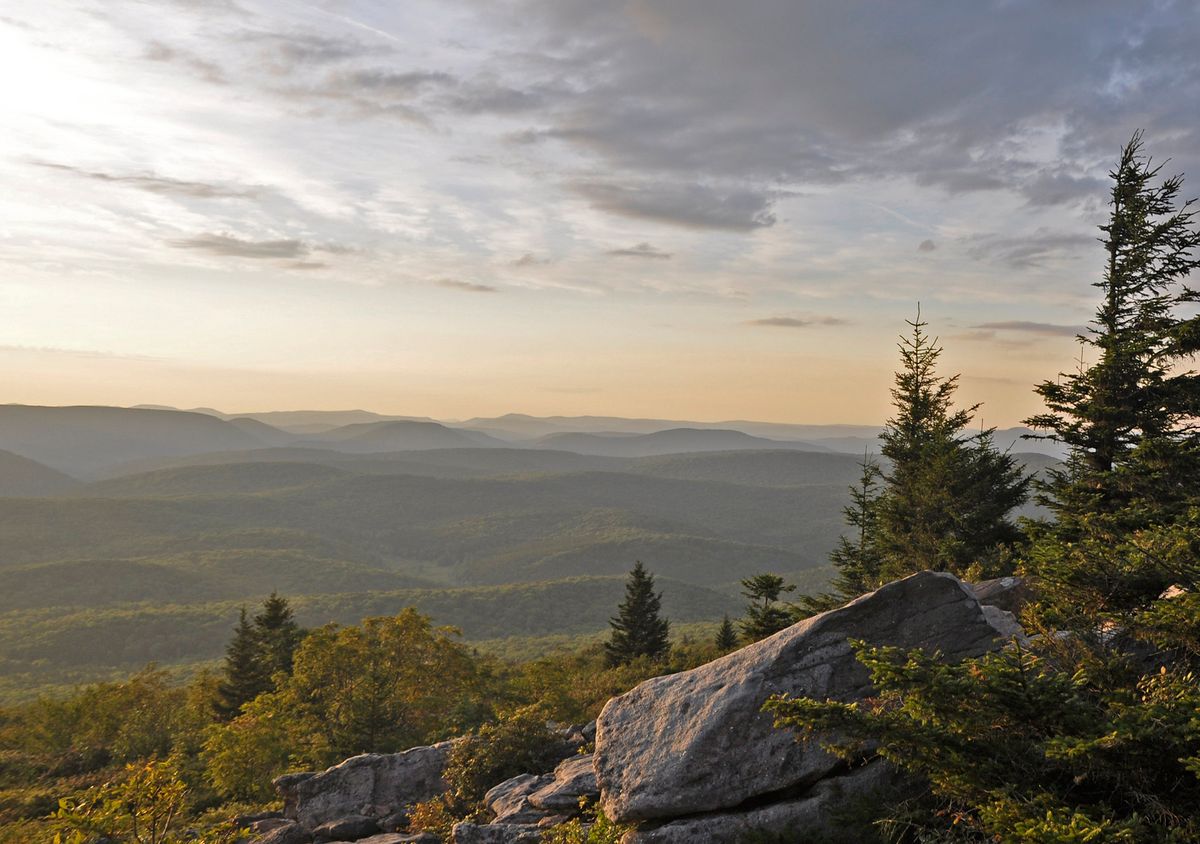
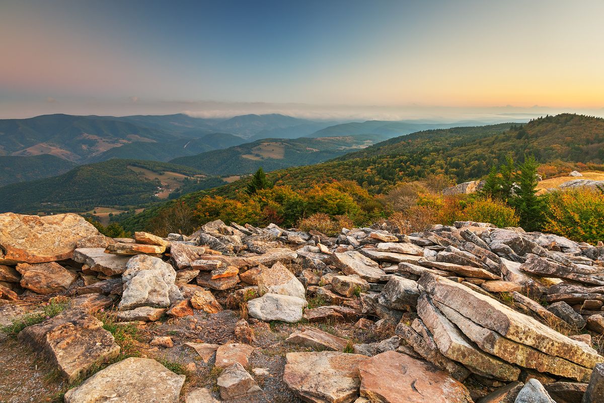
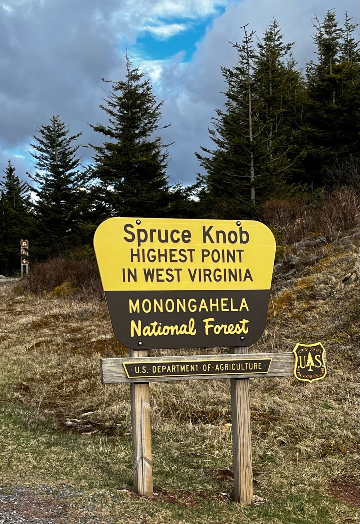
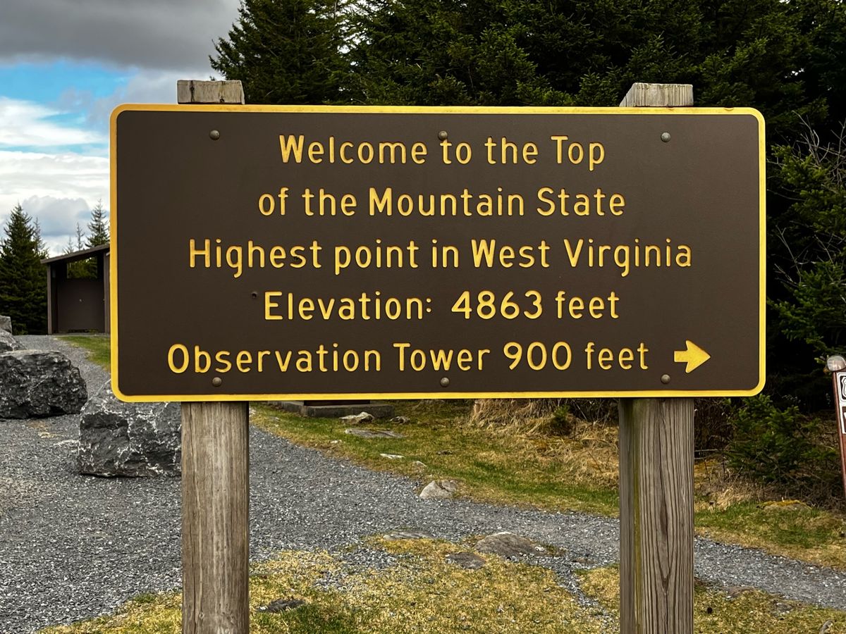
Located within the Monongahela National Forest, Spruce Knob is the tallest peak in West Virginia at 4,863 feet above sea level. From atop this rugged mountaintop, you can look out across forested ridges dotted with grassy clearings and pastures below.
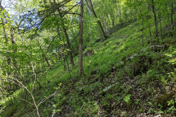
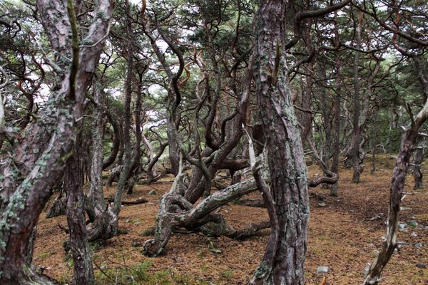
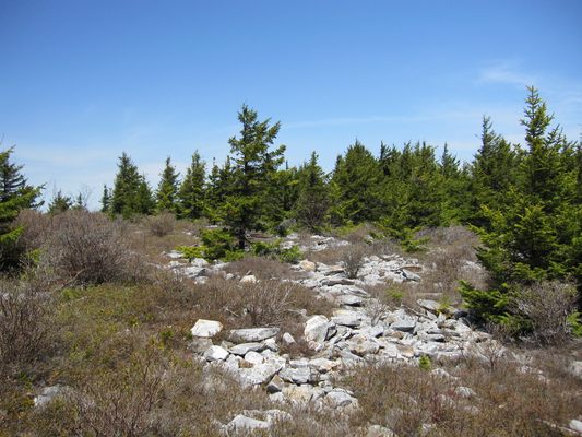
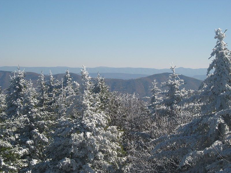
This part of the Appalachian Mountains began to form more than 500 million years ago when the supercontinent Pangea began to break up into smaller pieces. The land that surrounds Spruce Mountain is a relic boreal forest, similar to those you might find in northern New England and Canada. In winter, over 180 inches of snow on average cover the mountaintop, making nearby roads impassable from late autumn through spring.
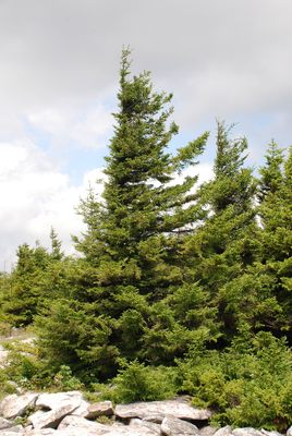
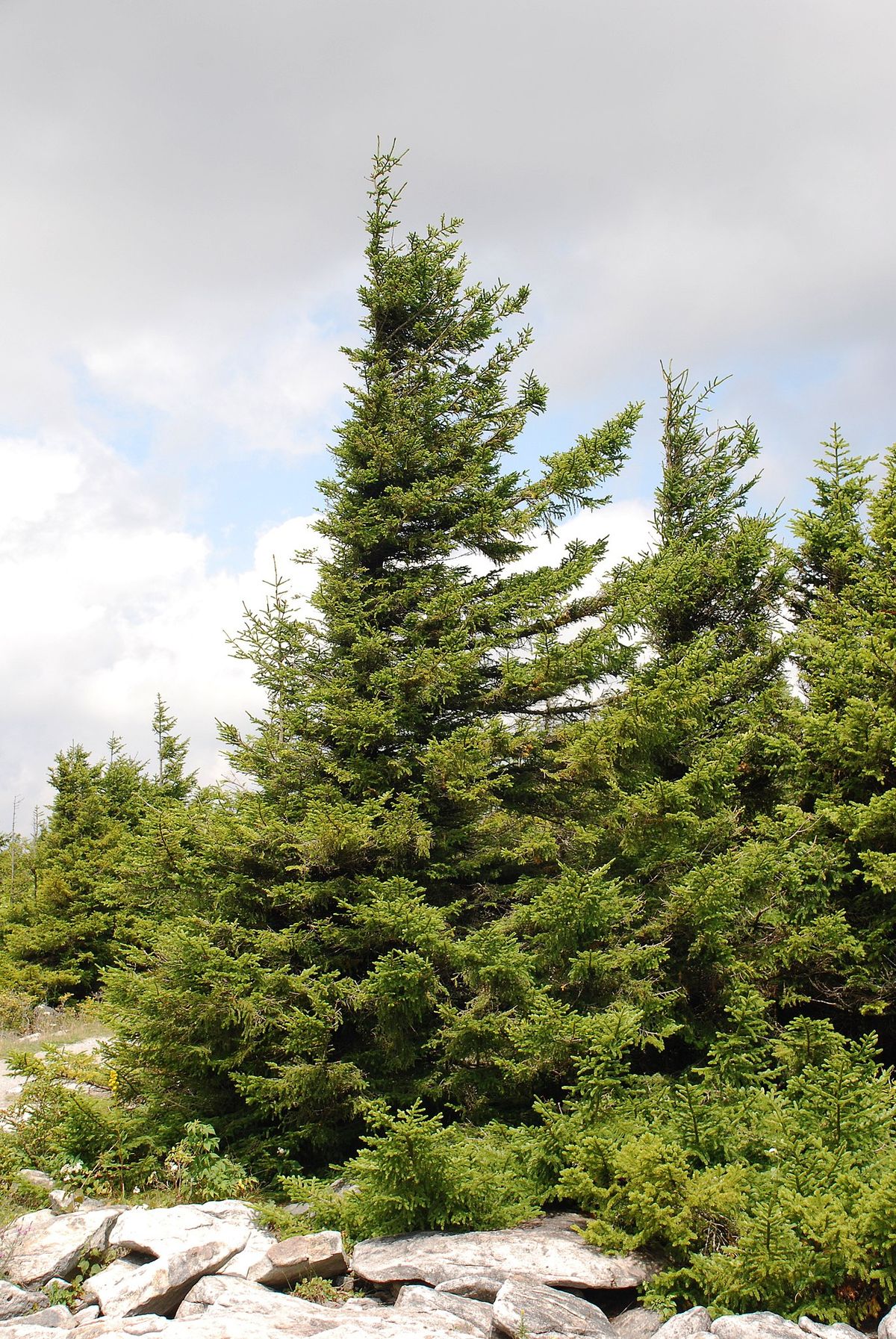
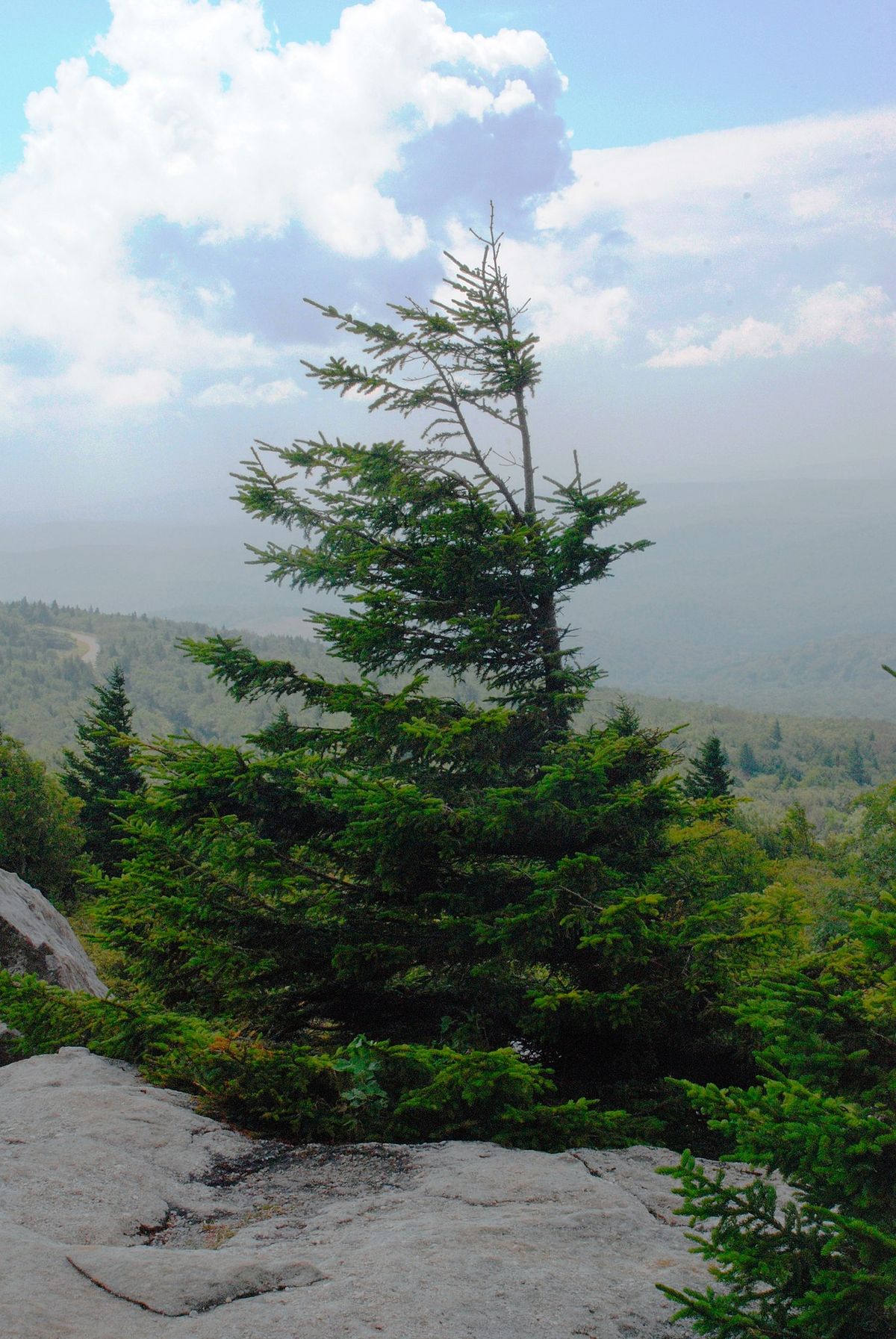
High winds are common year-round, and their effects can be seen in the flora atop Spruce Knob. Constant exposure to strong westerly winds has left the spruce trees that gave the peak its name clinging to the rock, with branches on just their east sides.
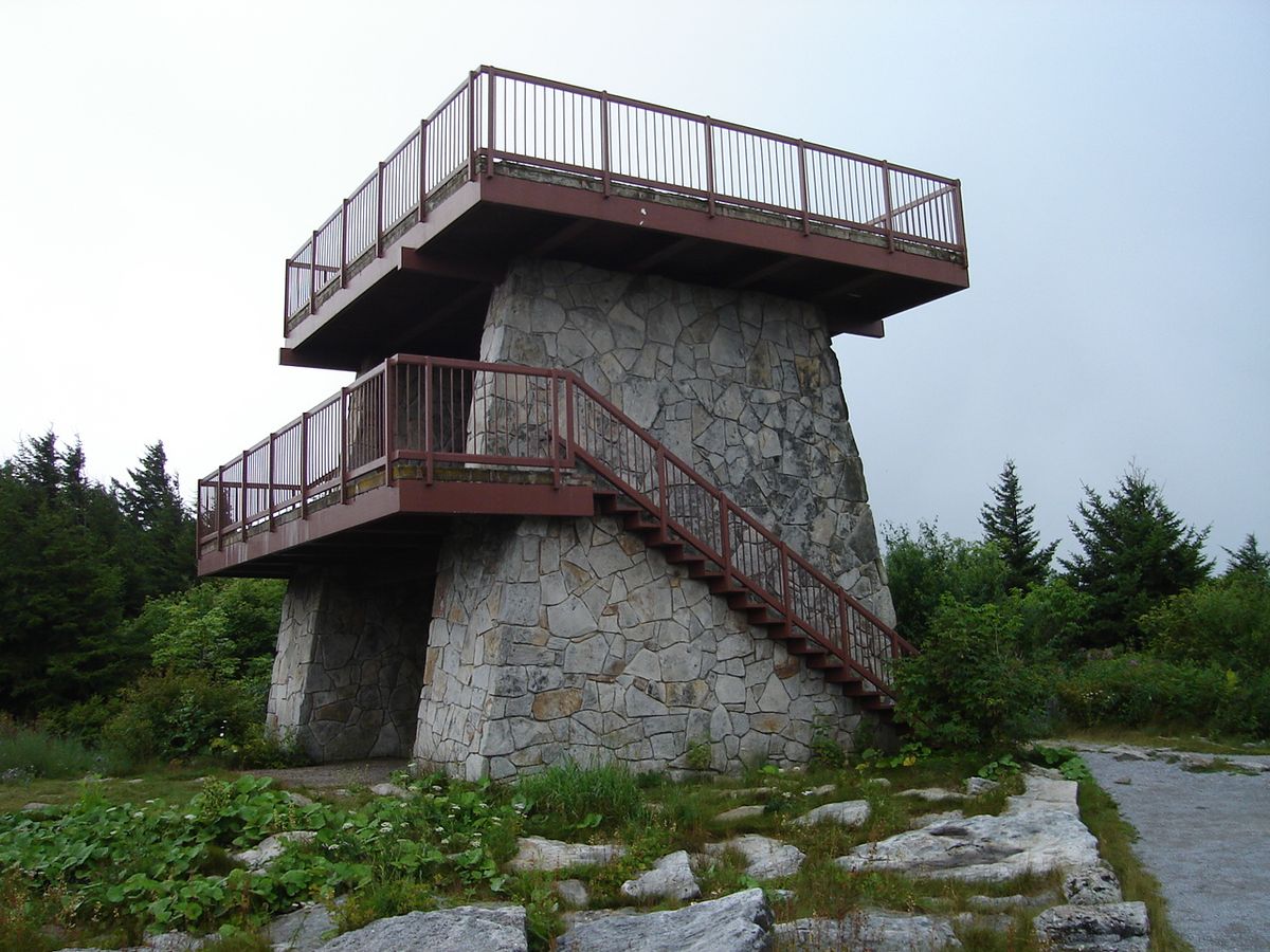
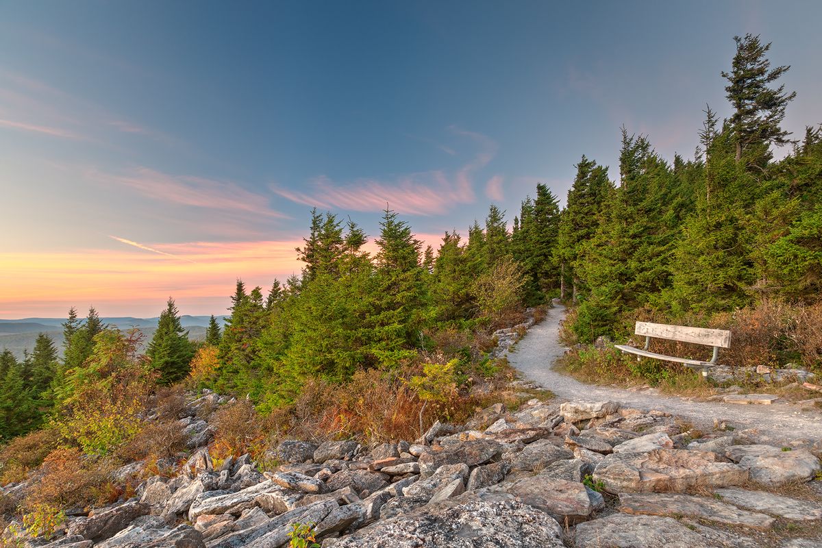
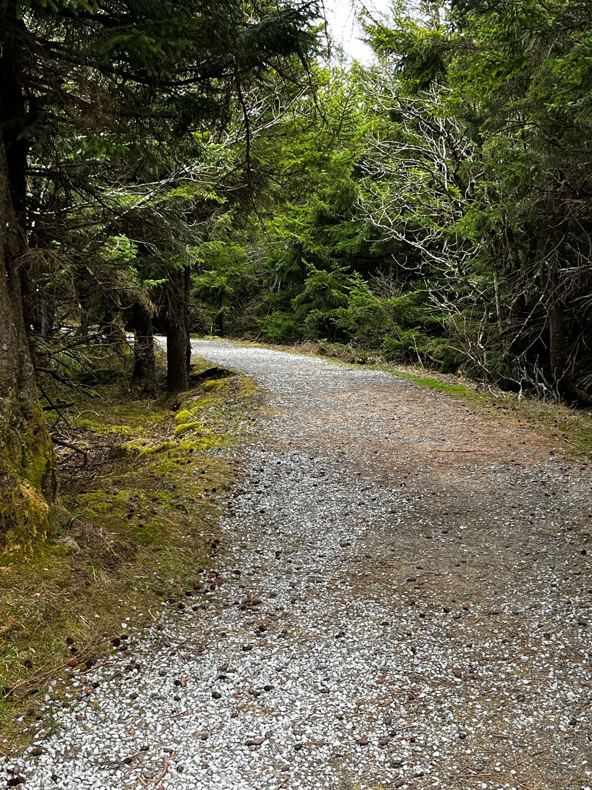
West Virginia Forest Road 104 runs up the mountain to a parking lot with picnic (and rustic restroom) facilities, and it's a quick walk to the observation tower at the summit for a wide view of the surrounding Allegheny Mountains. There is also a short (half a mile) gravel nature walk around the summit, beginning and ending at the parking lot.
Related Tags
Know Before You Go
In the area there are multiple road signs directing you to Spruce Knob. From Seneca Rocks, WV, go south on US Route 33. Past the town of Riverton, turn right on Briery Gap Road, then follow it to Forest Road 112. Turn left and follow 112 to Forest Road 104. Follow 104 to the summit parking lot. There are no fees/charges for any aspect of this visit.
Community Contributors
Added By
Published
May 28, 2013