Trips Places Foods Stories Newsletters
Loading...
Loading...
Loading...
Loading...

No search results found for
“”

Make sure words are spelled correctly.

Try searching for a travel destination.

Places near me Random place

Popular Destinations

  • Paris
  • London
  • New York
  • Berlin
  • Rome
  • Los Angeles
Trips Places Foods Stories Newsletters
Sign In Join
Places near me Random place
All the United States Ohio East Liverpool The Starting Point of the U.S. Public Land Survey

The Starting Point of the U.S. Public Land Survey

After covering almost 1.5 billion acres, the survey's still not finished.

East Liverpool, Ohio

Added By
Sarah Laskow
Email
Been Here
Want to go
Added to list
CAPTION
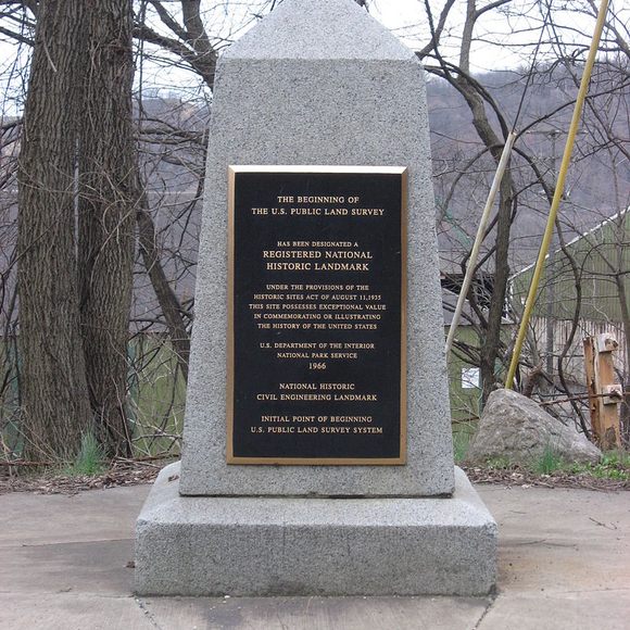
The monument’s front.   Public domain
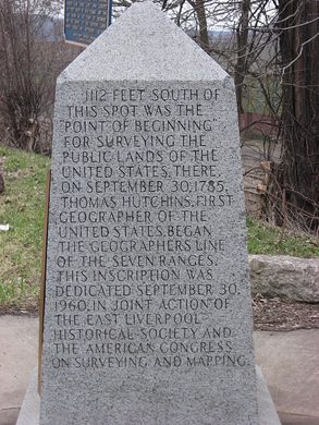
The Pennsylvania side of the marker.   Public domain
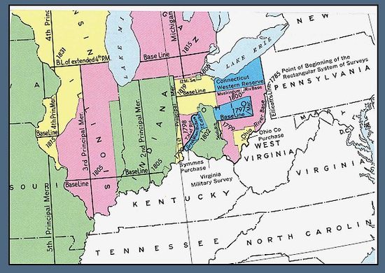
A BLM map indicating the point of beginning.   Bureau of Land Managment
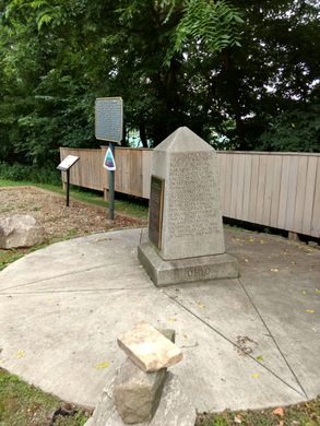
Gateway to the Northwest plaque.   Hetaira Thais / Atlas Obscura User
  Bluestryke / Atlas Obscura User
Been Here
Want to go
Added to list

About

On September 30, 1785, Thomas Hutchins, the first and only Geographer of the United States, set out to divide the country’s western lands into neat, square parcels. 

The project Hutchins and his team were embarking on was technically innovative and massively ambitious, but it began in a small way, at a wooden post staked on the north bank of the Ohio River, at the western border of Pennsylvania. With a couple of simple measurement tools and a compass, the men started their work, measuring and marking out a line due west into Ohio.

That four mile line was the beginning of the Public Land Survey, which would eventually measure off close to 1.5 billion acres into squares running six miles per side.

Though it’s taken for granted today, the systematic division of land in the United States still defines the country’s geographical fate. In its early stages, the survey pit Thomas Jefferson and Alexander Hamilton against one another, with their competing visions of who should own and profit from America’s land, and it enabled America’s great land grab from the native people in the continent’s western reaches. More than 230 years later, the same system still governs distributions of mineral rights on public lands and underlies digital mapping systems. It is yet to be entirely finished, and its legacy is hidden across the American landscape. 

In 1881, Ohio and Pennsylvania erected a marker to commemorate the beginning of the land survey; there's also a plaque at the true starting point. The marker was made a National Historic Landmark in 1965.

Related Tags

Maps Technology Monuments Geographic Markers

Community Contributors

Added By

Sarah Laskow

Edited By

Hetaira Thais, Bluestryke

  • Hetaira Thais
  • Bluestryke

Published

February 22, 2017

Edit this listing

Make an Edit
Add Photos
The Starting Point of the U.S. Public Land Survey
East Liverpool, Ohio
United States
40.642562, -80.519065
Visit Website

Nearby Places

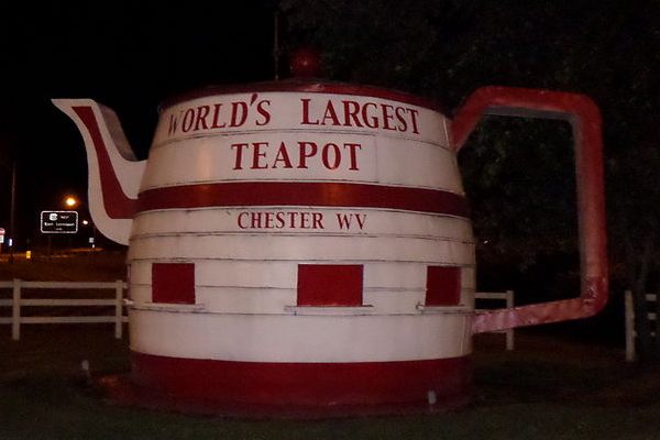
World's Largest Teapot

Chester, West Virginia

miles away

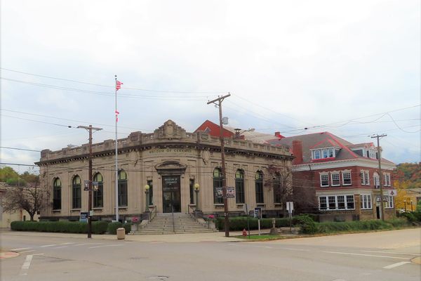
Museum of Ceramics

East Liverpool, Ohio

miles away

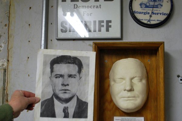
Sturgis House Mortuary Museum

East Liverpool, Ohio

miles away

Explore the Destination Guide

Photo of East Liverpool

East Liverpool

Ohio

Places 4

Nearby Places

World's Largest Teapot

Chester, West Virginia

miles away

Museum of Ceramics

East Liverpool, Ohio

miles away

Sturgis House Mortuary Museum

East Liverpool, Ohio

miles away

Explore the Destination Guide

Photo of East Liverpool

East Liverpool

Ohio

Places 4

Related Stories and Lists

When Land Surveys Were a Modern Marvel

maps

By Sarah Laskow

Related Places

  • Monument to the geographic center of Belgium

    Walhain, Belgium

    Geographic Center of Belgium

    This metal monument marking the middle of Belgium represents three regions coming together to form one country.

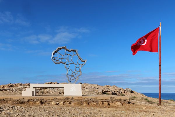
  • Ras Angela

    Ras Angela, Tunisia

    Ras Angela

    The northernmost point of continental Africa—or is it?

  • The Center of Google Earth mural in Chanute, Kansas.

    Chanute, Kansas

    Center of Google Earth Mural

    A Google software engineer's Easter egg led to what may be the world's most unusual saved screenshot.

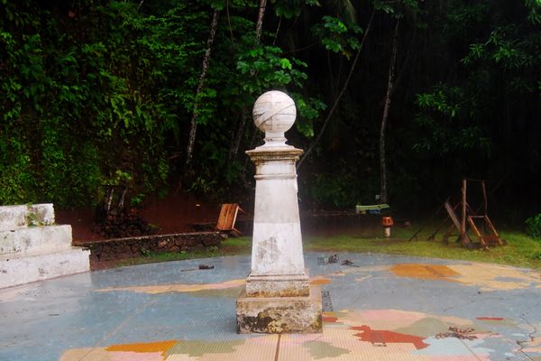
  • Marco do Equador on Ilhéu das Rolas

    Ilhéu das Rolas, São Tomé and Príncipe

    Marco do Equador

    The equator passes through this tiny island in the eastern Atlantic.

  • Detail of the Mini Monument

    Washington, D.C.

    Washington Mini Monument

    There's a 12-foot-tall replica of the Washington Monument hidden under a manhole nearby.

  • Écaussinnes, Belgium

    ‘Bonhomme de Fer’ (‘The Iron Man’)

    This human-shaped statue is actually a geodesic station.

  • Tri-States Monument and Delaware River

    Port Jervis, New York

    Tri-States Monument

    A pair of 19th-century granite markers symbolically record where the state boundaries of New York, New Jersey, and Pennsylvania intersect.

  • 49th Parallel North Monument in Prešov, Slovakia

    Prešov, Slovakia

    49th Parallel North Monument

    A quirky monument to the 49th parallel in downtown Prešov, Slovakia.

Aerial image of Vietnam, displaying the picturesque rice terraces, characterized by their layered, verdant fields.
Atlas Obscura Membership

Become an Atlas Obscura Member


Join our community of curious explorers.

Become a Member

Get Our Email Newsletter

Follow Us

Facebook YouTube TikTok Instagram Pinterest RSS Feed

Get the app

Download the App
Download on the Apple App Store Get it on Google Play
  • All Places
  • Latest Places
  • Most Popular
  • Places to Eat
  • Random
  • Nearby
  • Add a Place
  • Stories
  • Food & Drink
  • Itineraries
  • Lists
  • Video
  • Podcast
  • Newsletters
  • All Trips
  • Family Trip
  • Food & Drink
  • History & Culture
  • Wildlife & Nature
  • FAQ
  • Membership
  • Feedback & Ideas
  • Community Guidelines
  • Product Blog
  • Unique Gifts
  • Work With Us
  • About
  • FAQ
  • Advertise With Us
  • Advertising Guidelines
  • Privacy Policy
  • Cookie Policy
  • Terms of Use
Atlas Obscura

© 2025 Atlas Obscura. All Rights Reserved.