


About
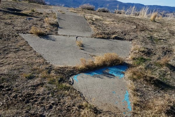
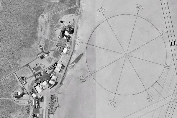
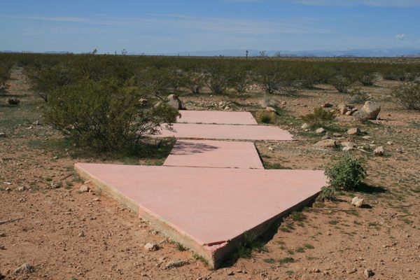
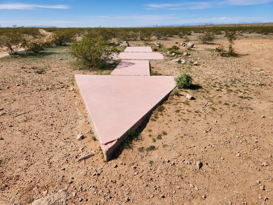
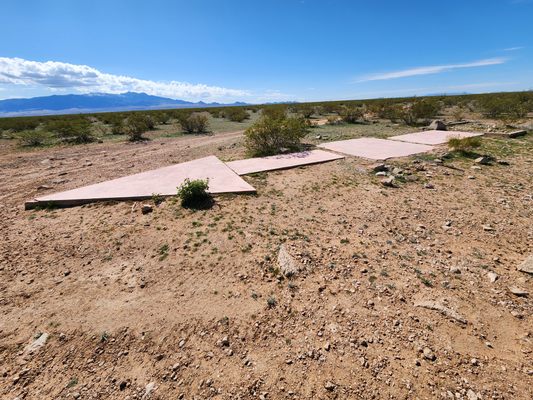
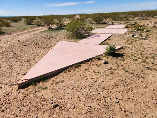
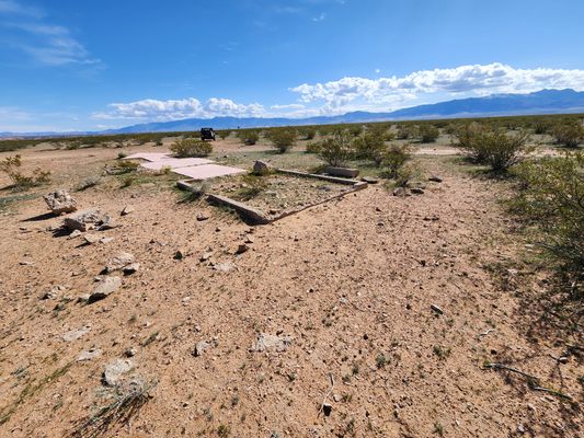
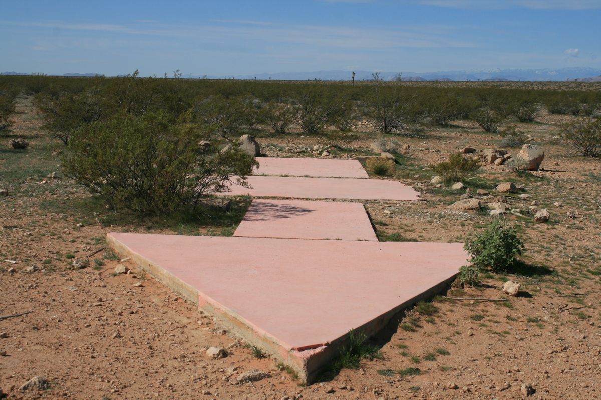
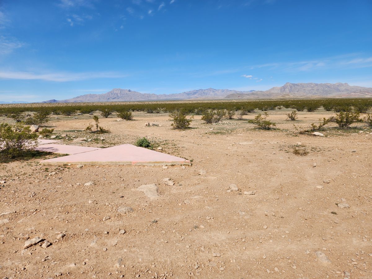
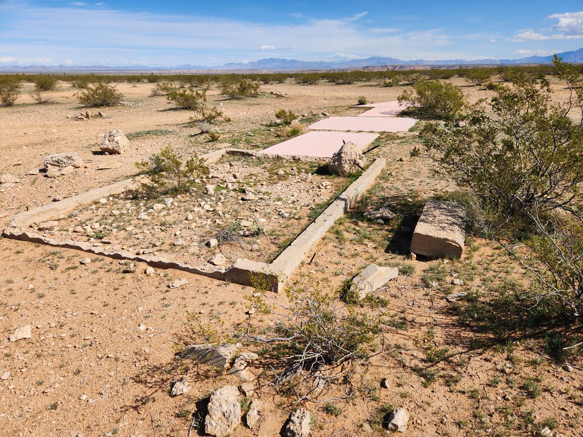
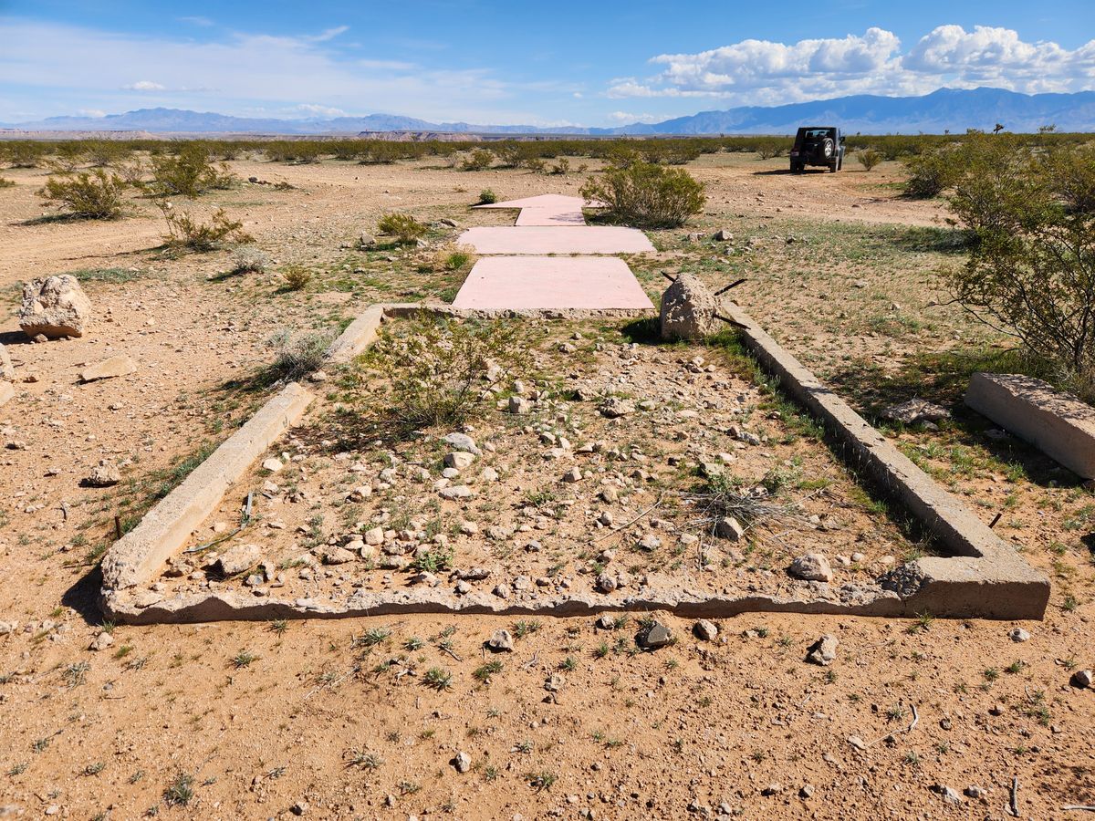
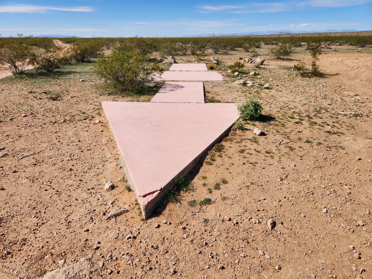
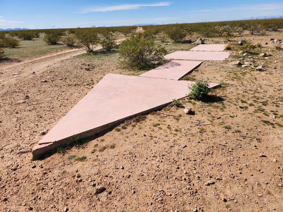
This arrow is a surviving remnant of a 1920s federal-government-sponsored airmail navigation network. By then, carrying mail had become the first serious commercial application of air travel. The network consisted of concrete arrows, originally painted yellow and designated as Beacon Stations, that pointed east on east-west routes and north on north-south routes. Each station had a bright light atop a 50-foot steel tower that allowed pilots to navigate from light to light after dark. Without radar, GPS, or reliable radio, night flying was extremely hazardous and could not be done routinely.
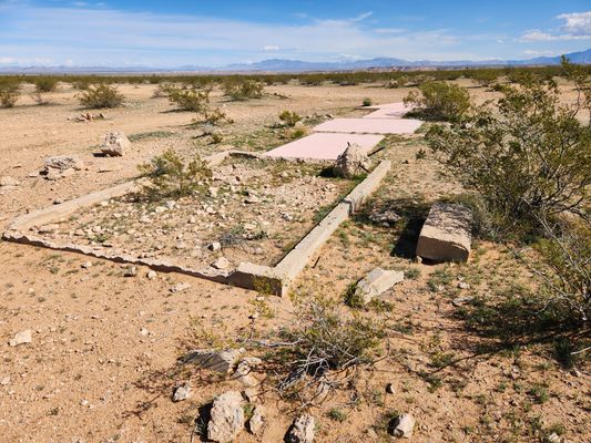
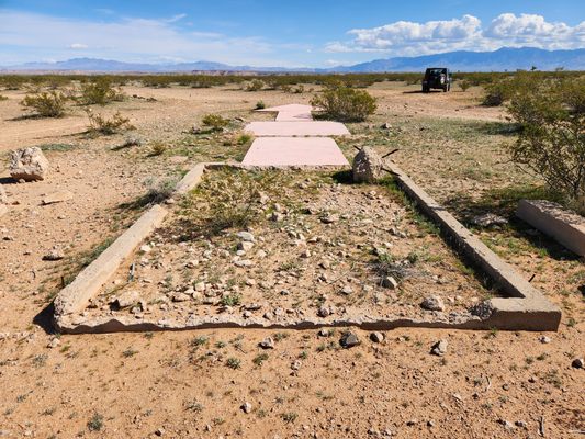
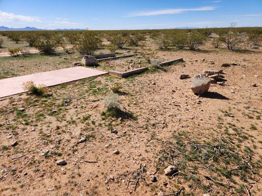
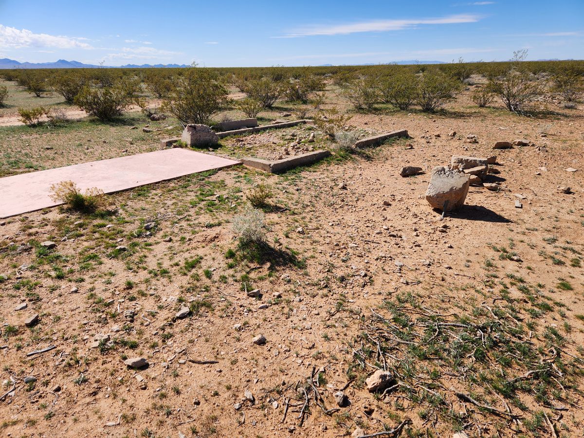
Most of the towers were scrapped long ago, but a surprising amount of the concrete arrows remain—this is one of them. It is Beacon Station #32 LA-SL (#32 on the route from Los Angeles to Salt Lake City), positioned east of the surviving Moapa Airmail Arrow, station #31 LA-SL. The two are 17 airline miles apart.
At night, if you stand on this arrow and imagine glimpsing the light on the Moapa station slightly south of west, that glimpse would have been your goal as an airmail pilot.
Related Tags
Know Before You Go
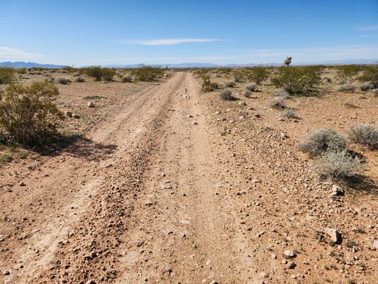
Follow Interstate 15 1.9 miles west from the intersection with State Route 170 (the Riverside Road, exit 112) to the truck parking area where the freeway tops out onto Mormon Mesa. Exit right into the parking area, where there is a gate through the fence giving access to the frontage road on the north. Turn right on the frontage road and follow it east for 0.2 miles, then through a shallow bend to the left (north), then back through another shallow bend to right at 0.3 miles. After 0.6 miles, at about 36.78259 N, 114.25890 W, there will be an intersection; keep left (north) here. Now go straight for 1.2 miles; the arrow will be immediately off the road to the left.
These roads will require high clearance but probably not 4wd, at least in dry weather.
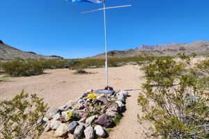
While here, the Davidson Family Gravesite is an easy sidetrip.
Community Contributors
Added By
Published
March 3, 2025