AO Edited
Nevada State Route 722
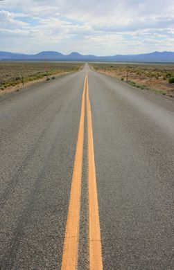
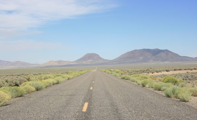
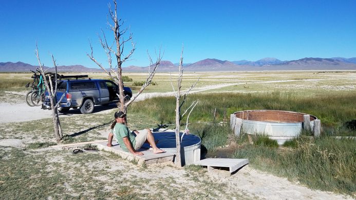
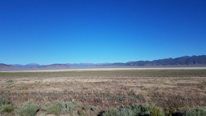
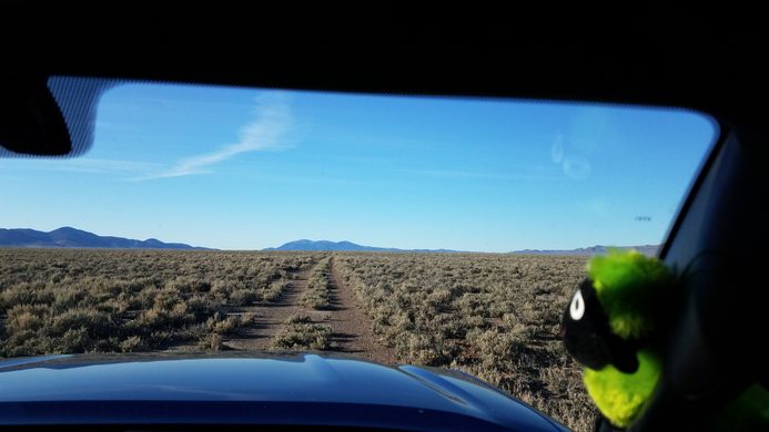
US-50 in Nevada is known as "the Loneliest Road in America," but this earlier iteration of the route is even lonelier.
In Nevada, US-50 is well-known as the “Loneliest Road.” What’s less well-known is that part of the original route of US-50 was itself bypassed in the late 1960s. The original alignment west of Austin, Nevada, ran farther south, crossing the northern Shoshone Mountains at Railroad Summit, and then dropping south in Smith Creek Valley to cross the Desatoya Mountains at Carroll Summit. It rejoins the present alignment near the famous Shoe Tree.
This route was a bit shorter than the current route, but the stretch over Carroll Summit was twisty and slow, and difficult for big rigs. So, after years of agitation, the highway was changed to the present alignment in the late 1960s. It’s a bit longer but a lot straighter, and also doesn’t involve as much altitude change.
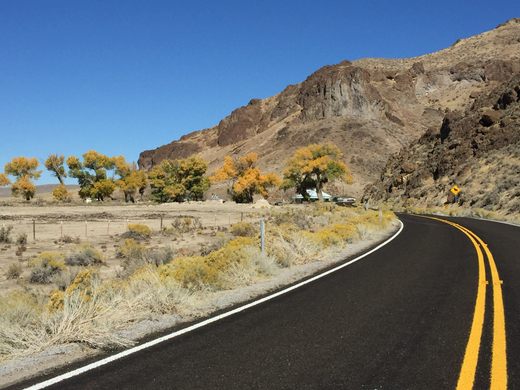
The old alignment is preserved as Nevada SR-722, however. It gets minimal maintenance, but it is paved, and because of the crossing of the Desatoya Mountains it’s even more scenic. So, for an even lonelier road take old US 50.
Know Before You Go
The junctions of Nevada SR-722 (old US 50) with the present highway are well-marked and should present no problem.
Community Contributors
Added by
Edited by
Plan Your Trip
The Atlas Obscura Podcast is Back!








Follow us on Twitter to get the latest on the world's hidden wonders.
Like us on Facebook to get the latest on the world's hidden wonders.
Follow us on Twitter Like us on Facebook