Places Foods Stories Newsletters
Loading...
Loading...
Loading...

No search results found for
“”

Make sure words are spelled correctly.

Try searching for a travel destination.

Places near me Random place

Popular Destinations

  • Paris
  • London
  • New York
  • Berlin
  • Rome
  • Los Angeles
Places Foods Stories Newsletters
Sign In Join
Places near me Random place
All the United States Nevada Austin U.S. Route 50

U.S. Route 50

Officially named the "Loneliest Road in America," this barren stretch of Nevada road offers almost nothing but sky and open fields.

Austin, Nevada

Added By
zackofalltrades
Email
Been Here
Want to go
Added to list
CAPTION
The Loneliest Road in America   Wikipedia
U.S. Route 50   Davemeistermoab on Wikipedia
The Loneliest Road in America   Wikipedia
The Loneliest Road in America   Sit Stay on Flickr
Dropping into Austin, Nevada, on US 50. Looking west; the heavy haze is smoke from wildfires in California.   slgwv / Atlas Obscura User
Devil’s Gate on US 50, about 7 miles west of Eureka.   slgwv / Atlas Obscura User
Ruins of Pony Express station just off US 50 near Sand Mountain.   slgwv / Atlas Obscura User
Spring Valley wind farm, just off US 50. Snake Range on skyline.   slgwv / Atlas Obscura User
Near the former townsite of Fairview in April 2023   cl94 / Atlas Obscura User
One of my favorite places   conradvalone / Atlas Obscura User
Slag just off US 50 on the east side of Eureka, Nevada.   slgwv / Atlas Obscura User
Dropping into Austin, Nevada on US 50, with a storm approaching from the west.   slgwv / Atlas Obscura User
Stock tank and windmill on US 50, a few miles west of Middlegate.   slgwv / Atlas Obscura User
US 50 east of Eureka, Nevada. Mt. Hamilton on the skyline. The Mt. Hamilton gold mine is visible below the crest.   slgwv / Atlas Obscura User
October 2015   paulruta / Atlas Obscura User
Old Lander County courthouse in Austin, Nevada. US 50 is the street in the foreground.   slgwv / Atlas Obscura User
Illapah Reservoir, just off US 50 between Eureka and Ely,   slgwv / Atlas Obscura User
Austin, Nevada, looking north. US 50 is the prominent highway crossing the photo.   slgwv / Atlas Obscura User
Wheeler Peak (13,065 ft/3982 m) in the Snake Range, overlooking Spring Valley. Looking east; US 50 is in the near foreground.   slgwv / Atlas Obscura User
Petroglyphs at Hickison Summit, on US 50.   slgwv / Atlas Obscura User
Ruins of New Pass Overland Stage station, built 1861, in New Pass on US 50.   slgwv / Atlas Obscura User
Ruins of Cold Springs Overland Stage Station, built 1861, on US 50 about 12 miles east of Middlegate. On US 50   slgwv / Atlas Obscura User
US 50 near its intersection with US 93. Looking east; Spring Valley wind farm in the distance on the left.   slgwv / Atlas Obscura User
US 50 just east of the Shoe Tree, with a lightning-caused fire in the Desatoya Mountains. This fire was allowed to burn out on its own.   slgwv / Atlas Obscura User
US 50 through Austin, Nevada. Looking east.   slgwv / Atlas Obscura User
US 50 dropping into Austin from the east.   slgwv / Atlas Obscura User
City park in Austin, Nevada. US 50 cuts diagonally across the photo.   slgwv / Atlas Obscura User
just w of ut border   sthomper / Atlas Obscura User
  WhiskeyBristles / Atlas Obscura User
Milky Way seen from HWY 50, unedited   cmjones1117 / Atlas Obscura User
“I survived the loneliest road in America”   Louchebonvivant / Atlas Obscura User
  Spinach / Atlas Obscura User
  Justin V / Atlas Obscura User
  Justin V / Atlas Obscura User
Been Here
Want to go
Added to list

About

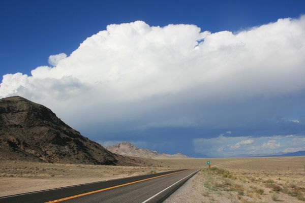
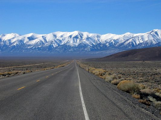
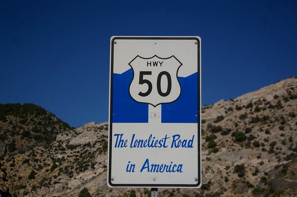
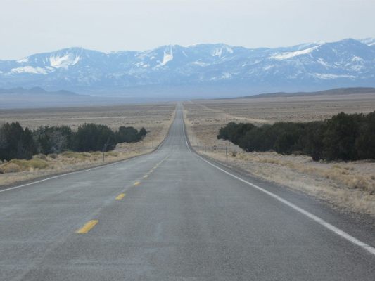
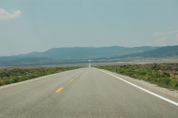
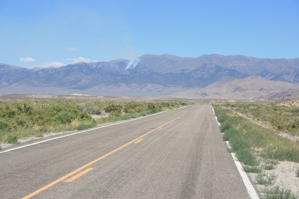
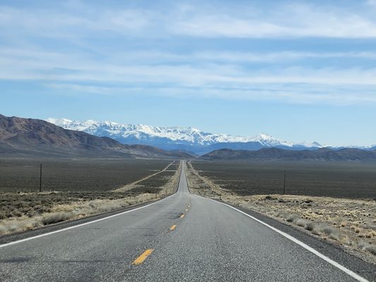
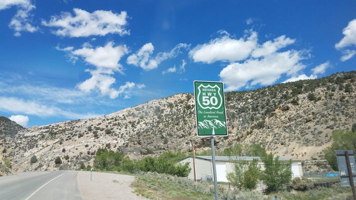
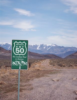
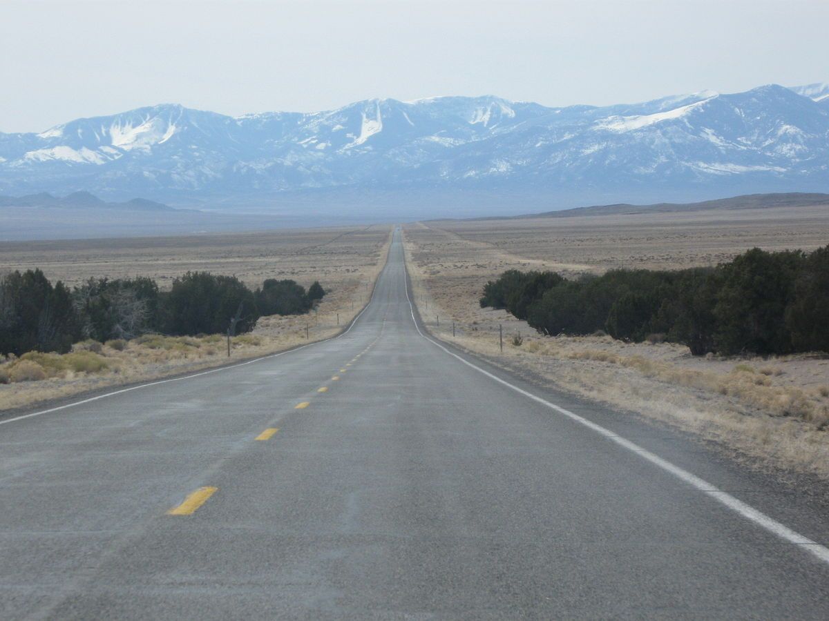
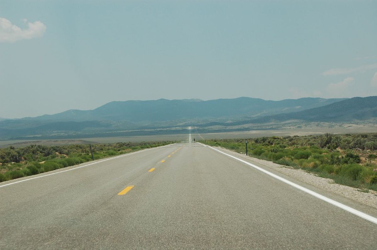
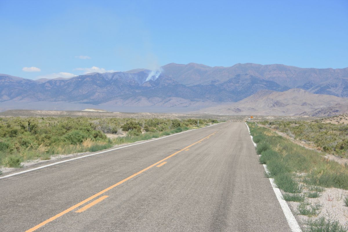
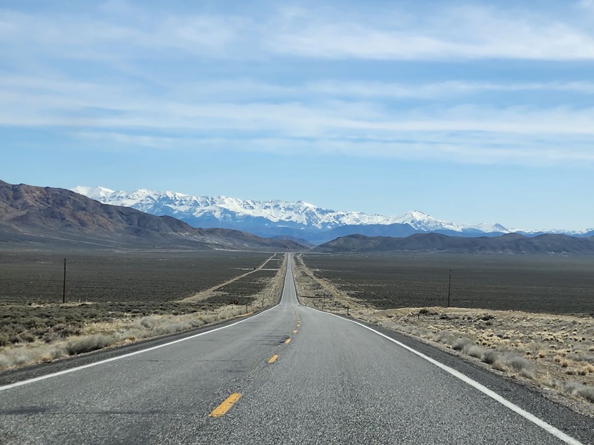
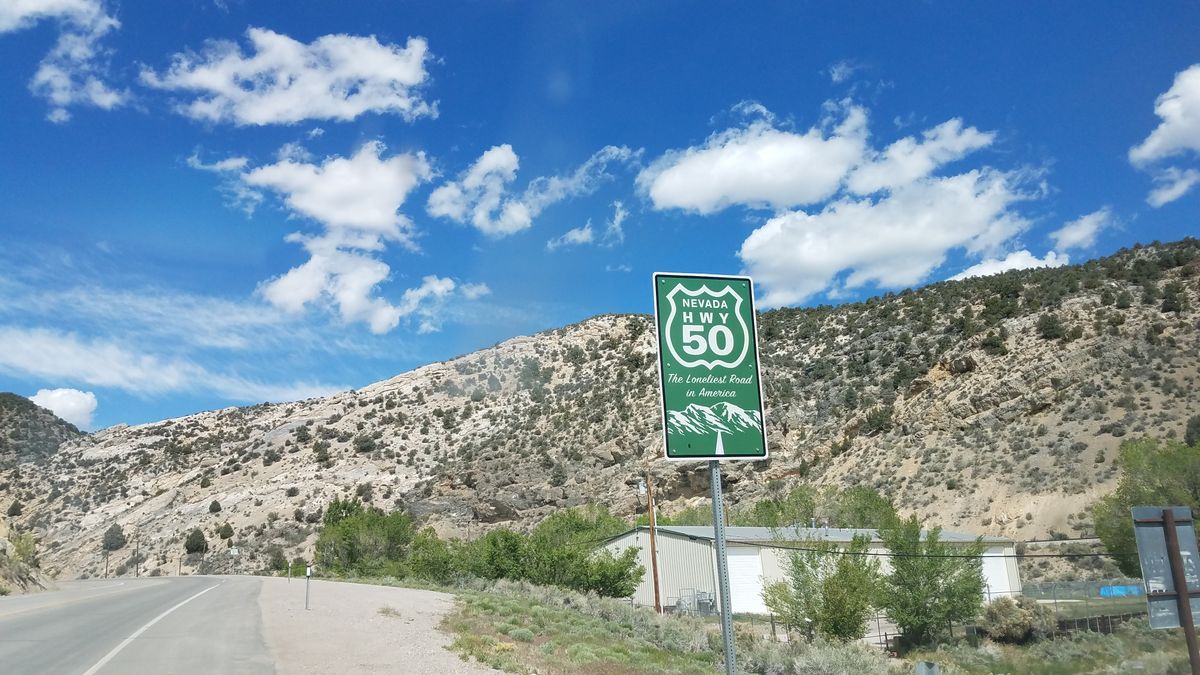
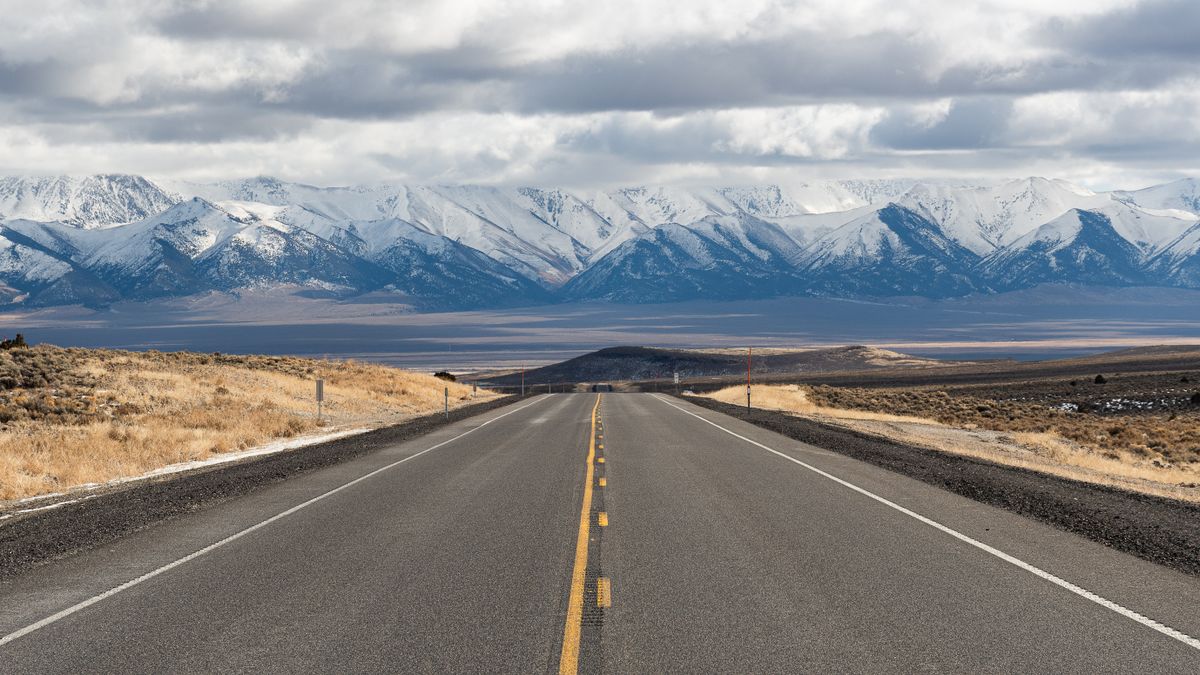
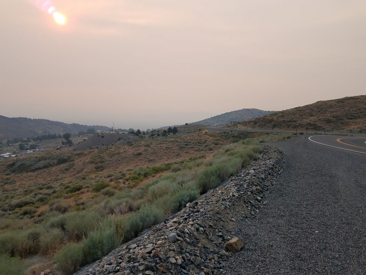
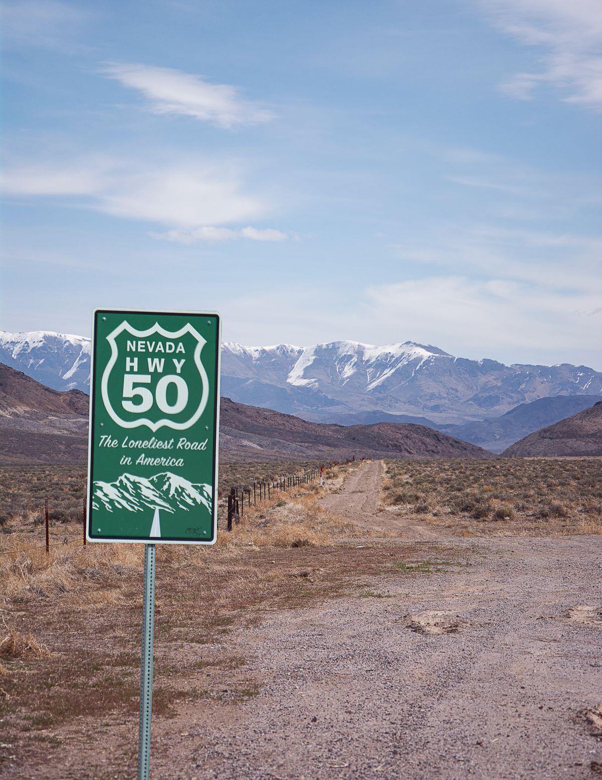
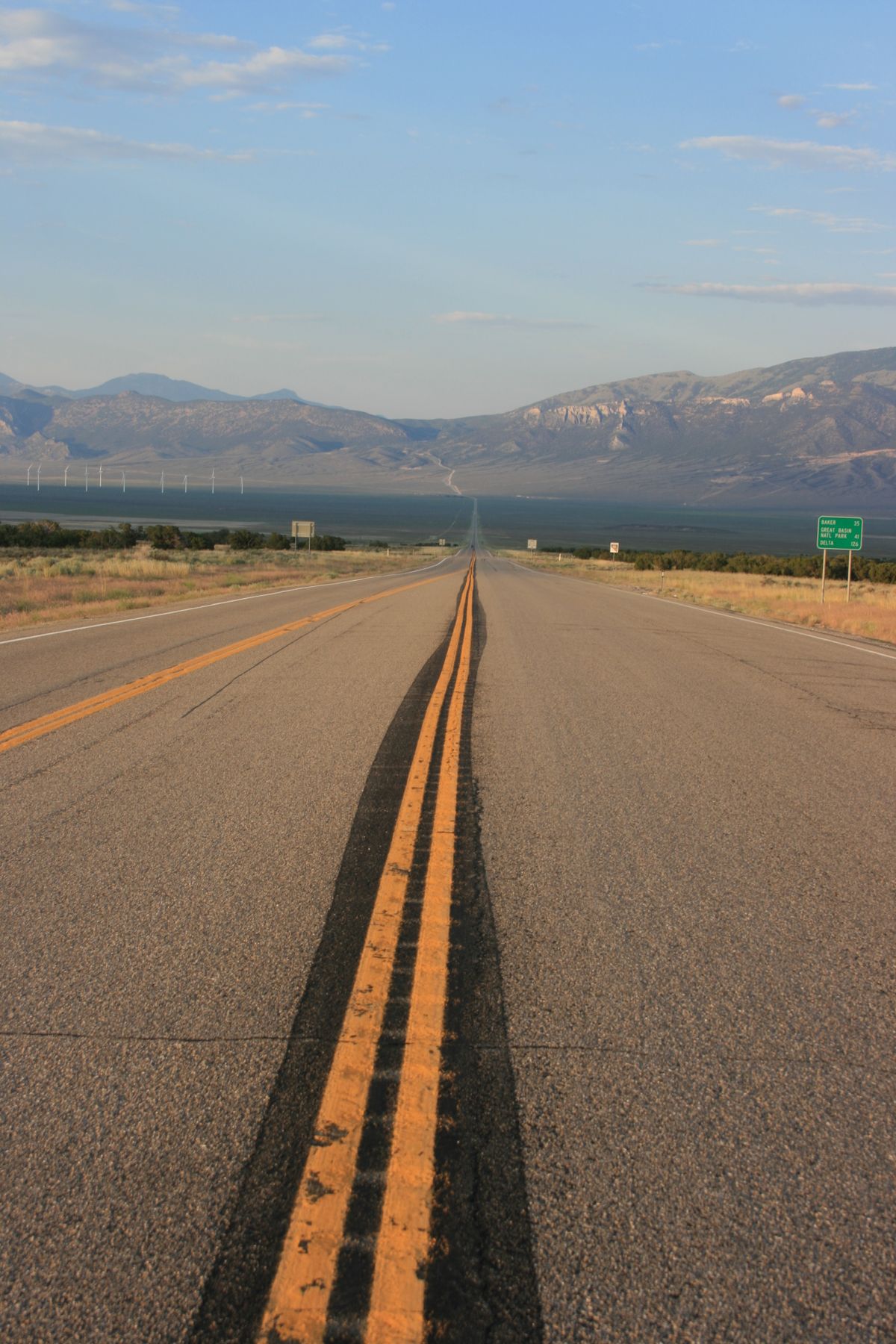
While the length of the U.S. Route 50 highway stretches from Sacramento, California, in the west to Ocean City, Maryland, in the east, the portion crossing through Nevada was scathingly dubbed the "Loneliest Road in America," a title which surprisingly caught on and was adopted by the state tourism board.

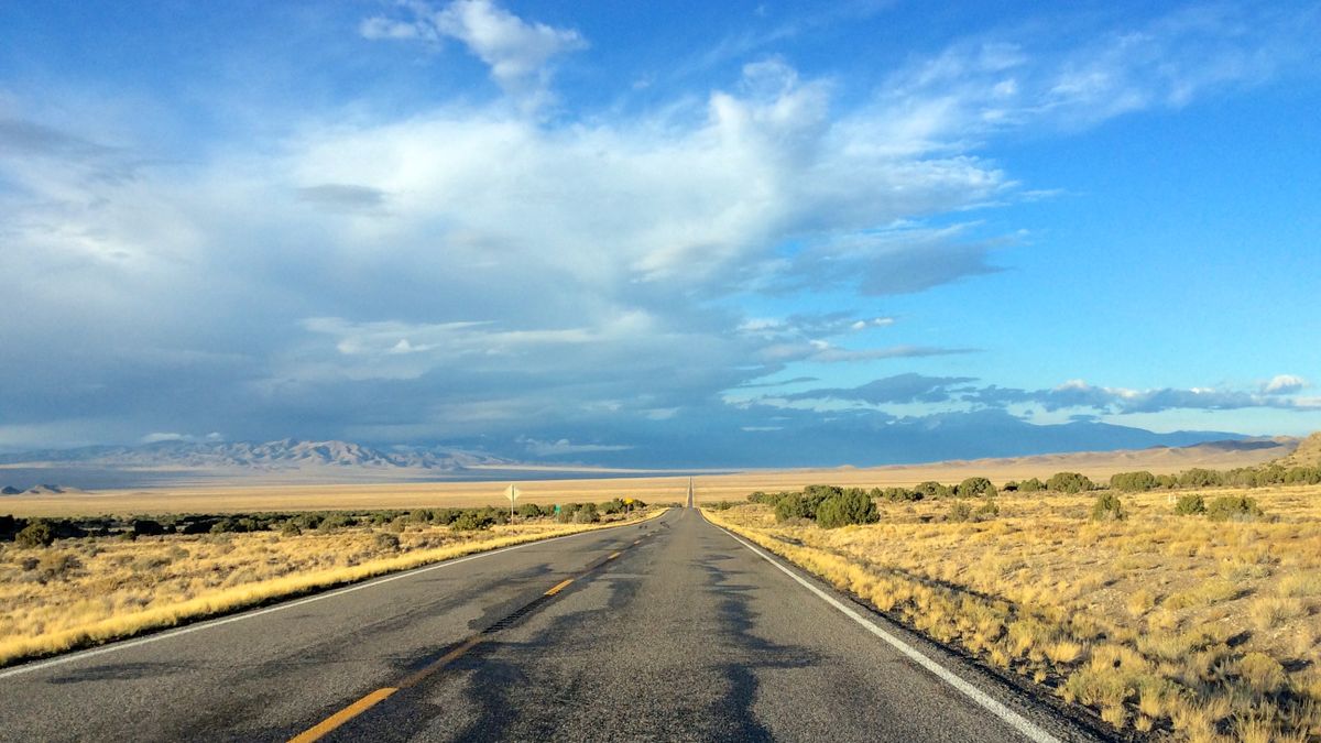
According to a 1986 article in Life magazine, the length of U.S. 50 running straight through the middle of Nevada was described as follows, "It's totally empty. There are no points of interest. We don't recommend it. We warn all motorists not to drive there unless they're confident of their survival skills." This unpleasant description was included in a story called, "The Loneliest Road," prompting the route to be dubbed the "Loneliest Road in America."

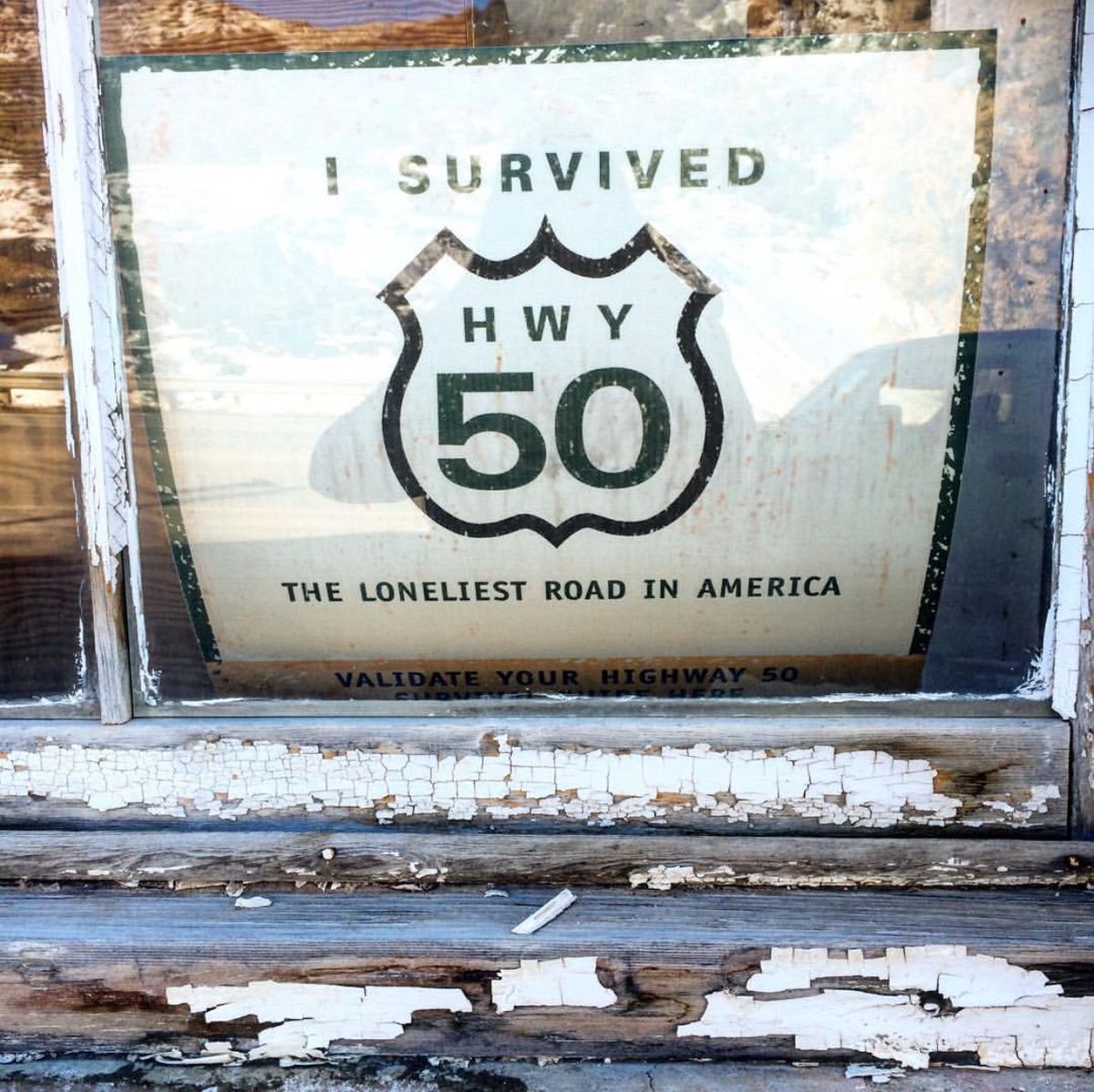
However, instead of taking umbrage with the review, the powers that be in the Nevada Tourism Department embraced the moniker, going so far as to put the name on road signs and print up free "survival guides" for drivers attempting to conquer the desolate stretch of road.

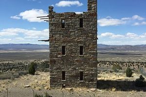
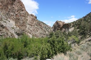
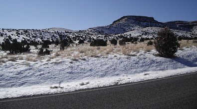
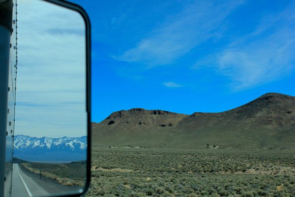
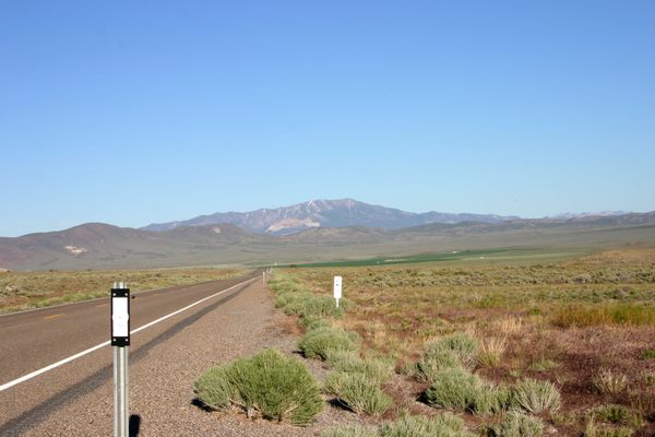
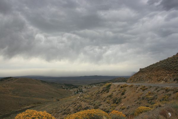
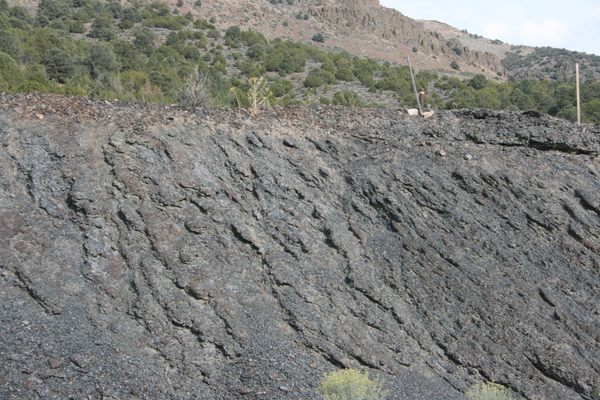
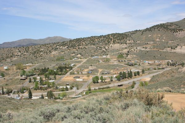
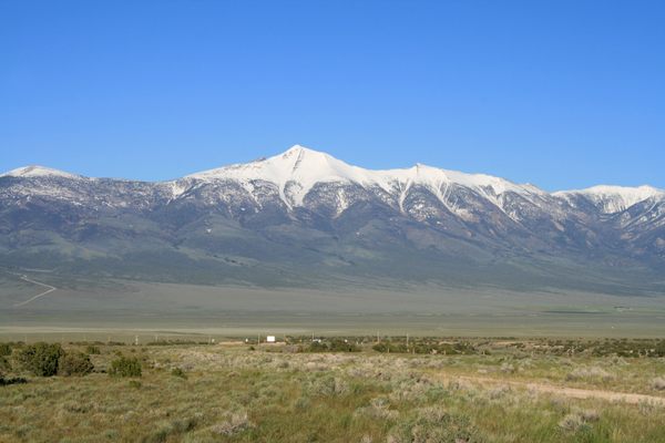
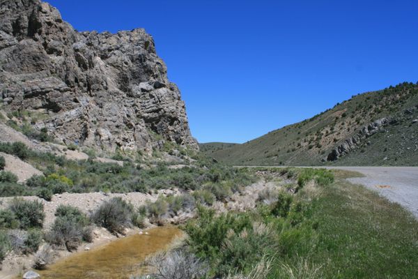
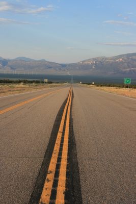
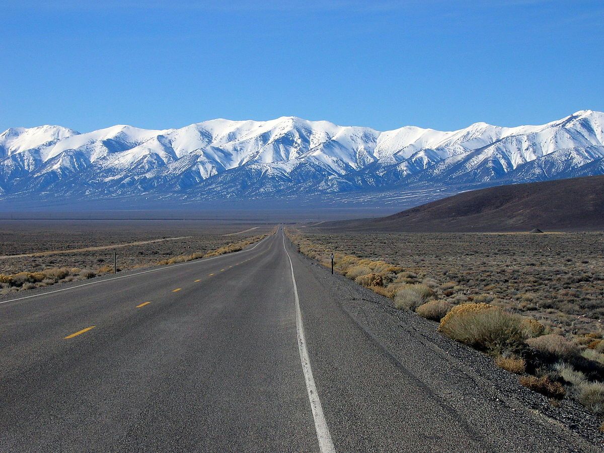
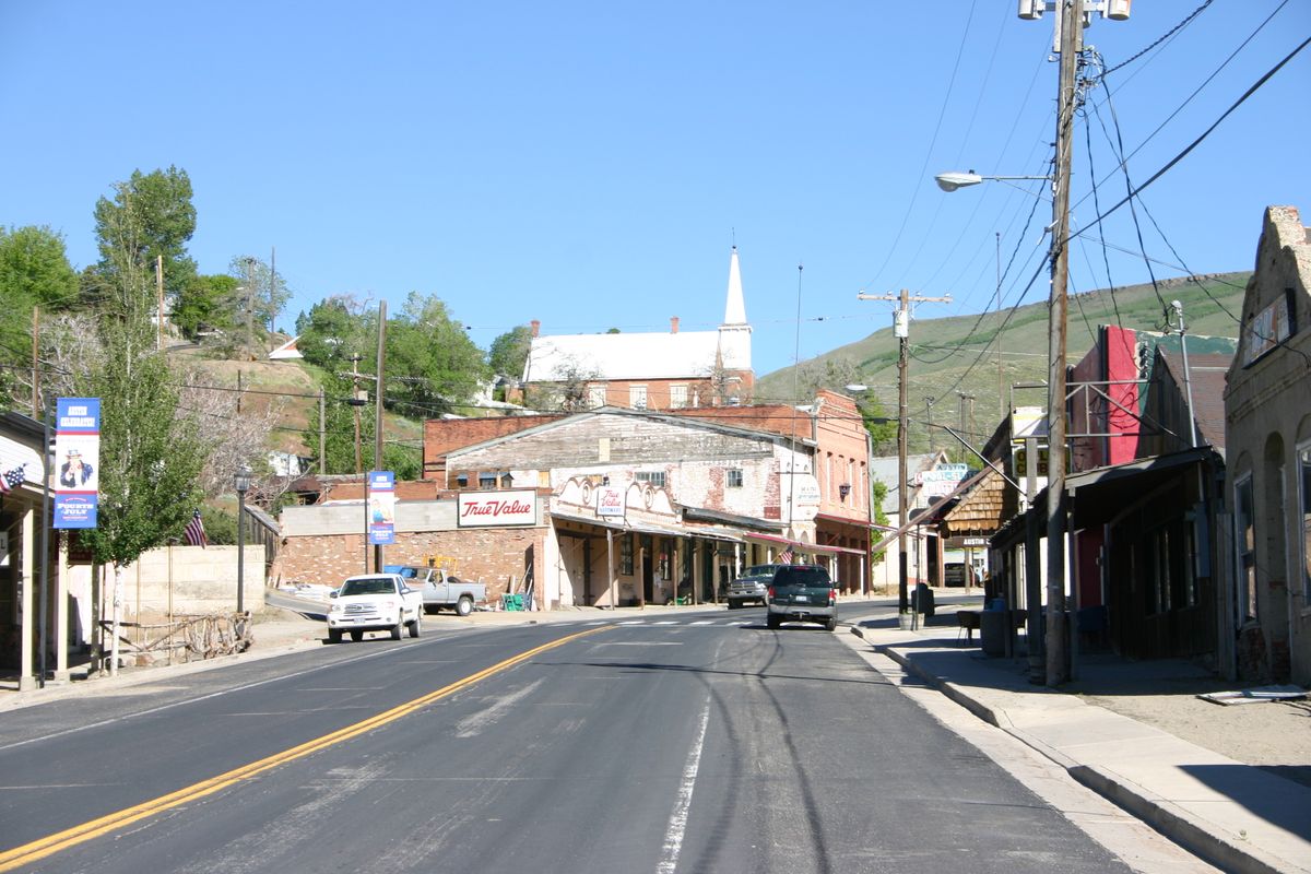
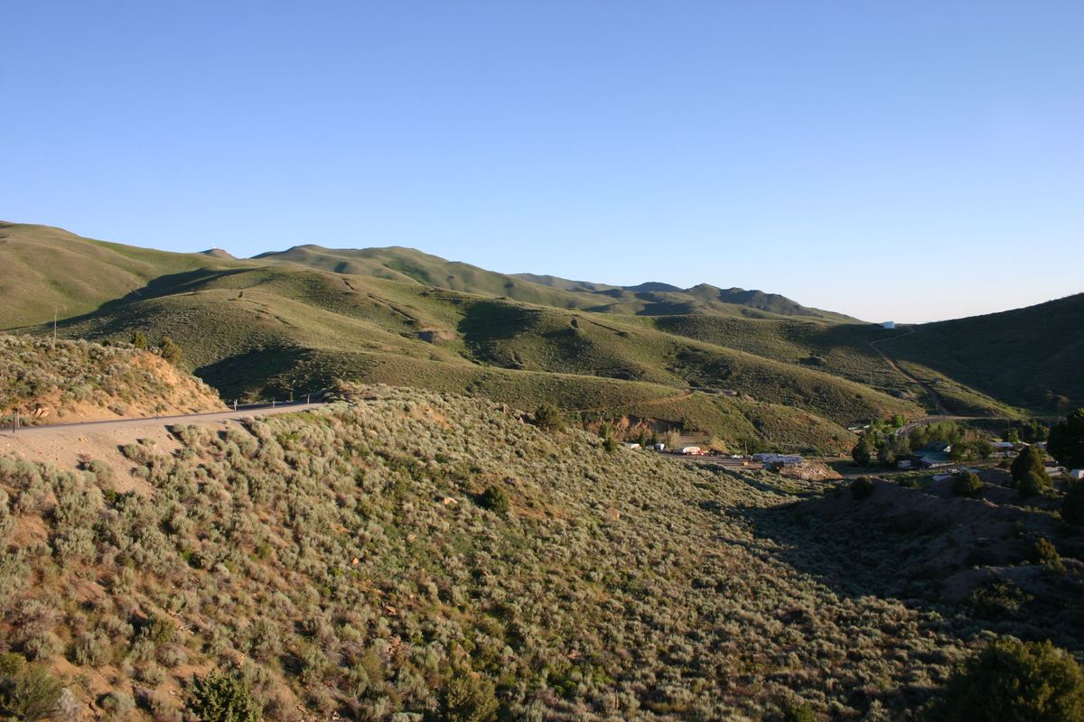
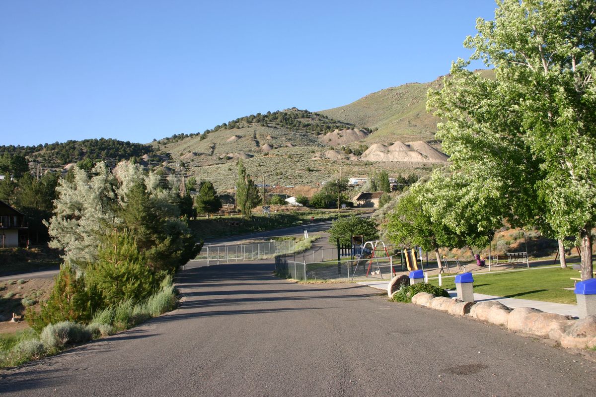
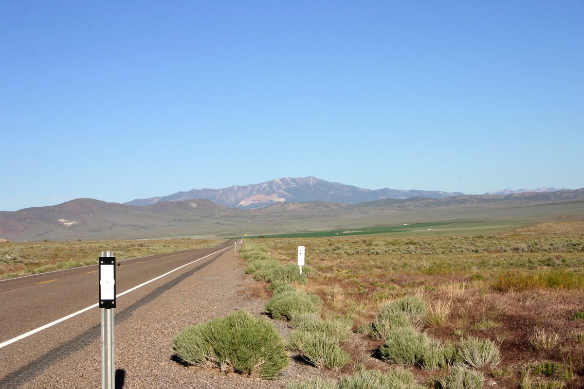
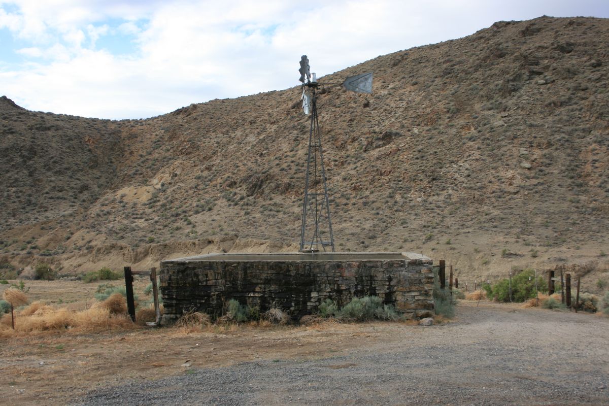
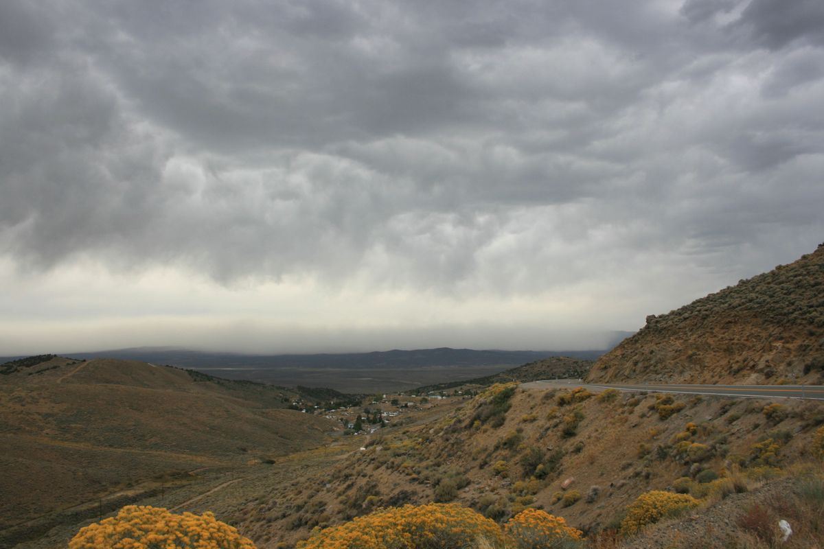
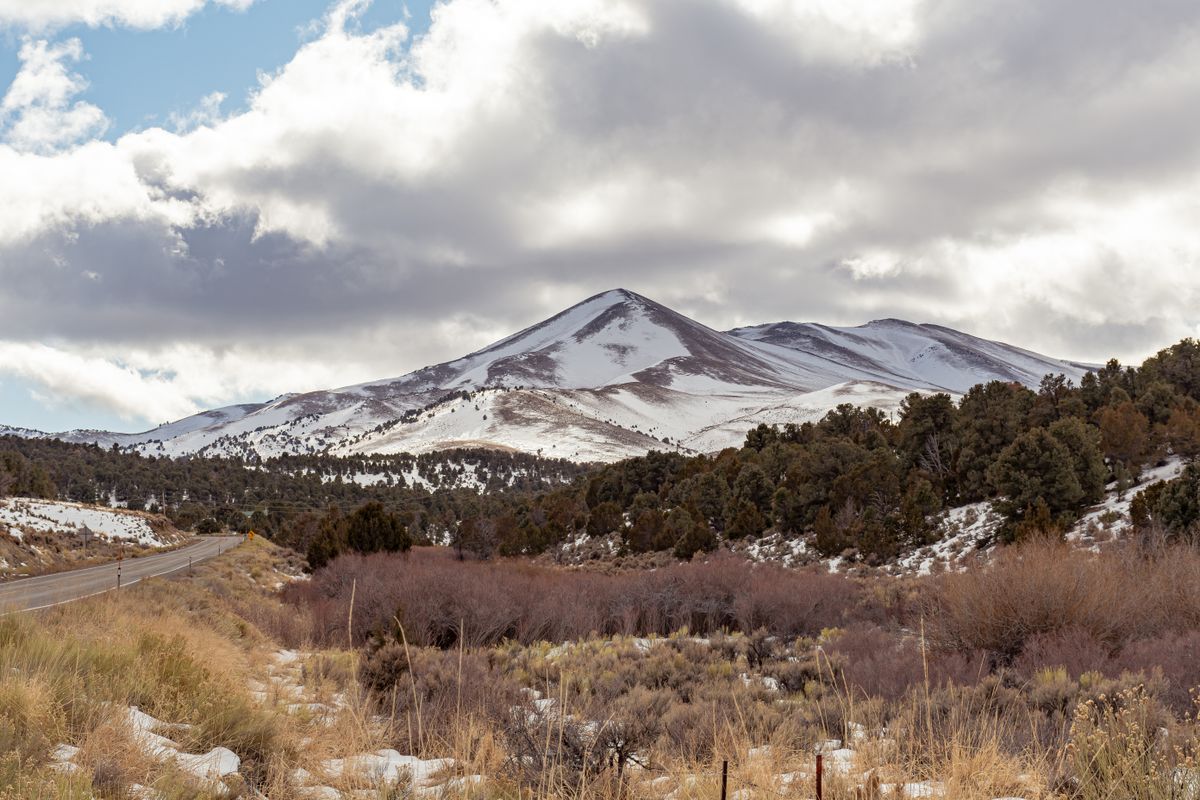
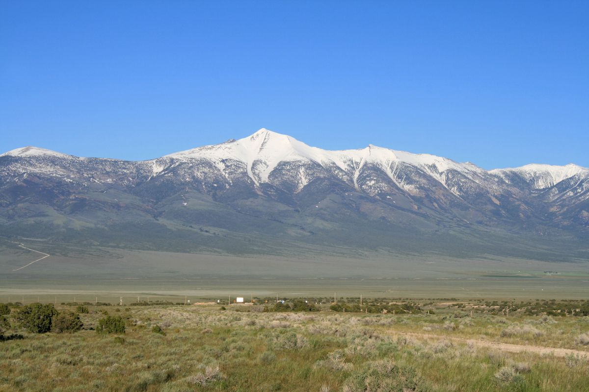
To be fair, the unbroken road has only a few small towns along its length to break up the seemingly endless straight road, creating a true feeling of being isolated among the expanse. However this loneliest road could also be considered the most serene or tranquil—it all depends on your perspective.

Places

Discover your next amazing Atlas Place.

Get more unusual and extraordinary places each week with the Atlas Obscura Places newsletter.

Your newsletter subscriptions with us are subject to Atlas Obscura's Privacy Policy and Terms of Use.

Related Tags

Names Highways Roads

Know Before You Go

You can pick up an "I survived the loneliest road in America" passport book at surrounding small businesses, and collect stamps along the drive.

Community Contributors

Added By

zackofalltrades

Edited By

Louchebonvivant, EricGrundhauser, WhiskeyBristles, cmjones1117...

  • Louchebonvivant
  • EricGrundhauser
  • WhiskeyBristles
  • cmjones1117
  • cl94
  • Spinach
  • sthomper
  • Justin V
  • paulruta
  • conradvalone
  • slgwv

Published

July 15, 2013

Edit this listing

Make an Edit
Add Photos
Sources
  • http://en.wikipedia.org/wiki/U.S._Route_50_in_Nevada
  • http://unusualplaces.org/u-s-route-50-americas-loneliest-road/
  • http://www.usatoday.com/story/dispatches/2013/09/30/cross-country-road-trip-nevada/2898155/
  • http://ponyexpressnevada.com/pony-express-loneliest-road.html
U.S. Route 50
U.S. Highway 50
Austin, Nevada, 89310
United States
39.467121, -117.002104
Get Directions

Nearby Places

Stokes Castle

Austin, Nevada

miles away

Hickison Summit

Austin, Nevada

miles away

Toiyabe Crest Trail

Austin, Nevada

miles away

Explore the Destination Guide

Photo of Austin

Austin

Nevada

Places 7

Nearby Places

Stokes Castle

Austin, Nevada

miles away

Hickison Summit

Austin, Nevada

miles away

Toiyabe Crest Trail

Austin, Nevada

miles away

Explore the Destination Guide

Photo of Austin

Austin

Nevada

Places 7

Related Stories and Lists

Atlas Obscura's Great Nevada Road Trip

cemeteries

Sponsored By Travel Nevada

Related Places

  • Musical Road Ahead

    Palmdale, California

    R. Lee Ermey Musical Road

    The road plays 30 seconds of the Marine’s Hymn when driving over the grooved pavement.

  • National Route 66 Museum

    Elk City, Oklahoma

    National Route 66 Museum

    An Oklahoma museum that celebrates the history of the "Mother Road."

  • Alaska Highway Mile 0 sign

    Dawson Creek, British Columbia

    Alaska-Canada Highway Mile 0

    The arch marks the beginning of the road for northbound travelers.

  • The sign before it was covered in stickers.

    Chicago, Illinois

    Beginning (and End) of Historic Route 66

    A journey begins with a single step, and for many, the road-trip of a lifetime started at this Chicago intersection.

  • US 6, looking east to a squall, just west of Warm Springs.

    Tonopah, Nevada

    U.S. 6 in Nevada

    A stretch of highway even lonelier than the so-called "Loneliest Road in America."

  • Miyakojima Mamoru-kun

    Miyakojima, Japan

    Mamoru-kun Patrolman

    Made to improve road safety, these policemen-like figurines in Miyakojima island have earned an enthusiastic fanbase.

  • “M” shaped road section between Kotor and Trojica

    Trojica, Montenegro

    "M" Road

    The hairpin turns in this mountain road take the shape of a letter—is it a coincidence or a symbol of love?

  • The final marker

    San Francisco, California

    Western Terminus of the Lincoln Highway

    The United States' first transcontinental automobile road came to its end at this spot in San Francisco's Lincoln Park.

Aerial image of Vietnam, displaying the picturesque rice terraces, characterized by their layered, verdant fields.
Atlas Obscura Membership

Become an Atlas Obscura Member


Join our community of curious explorers.

Become a Member

Get Our Email Newsletter

Follow Us

Facebook YouTube TikTok Instagram Pinterest RSS Feed

Get the app

Download the App
Download on the Apple App Store Get it on Google Play
  • All Places
  • Latest Places
  • Most Popular
  • Places to Eat
  • Random
  • Nearby
  • Add a Place
  • Stories
  • Food & Drink
  • Itineraries
  • Lists
  • Video
  • Podcast
  • Newsletters
  • All Trips
  • FAQ
  • Membership
  • Feedback & Ideas
  • Community Guidelines
  • Product Blog
  • Unique Gifts
  • Work With Us
  • About
  • FAQ
  • Advertise With Us
  • Advertising Guidelines
  • Privacy Policy
  • Cookie Policy
  • Terms of Use
Atlas Obscura

© 2026 Atlas Obscura. All Rights Reserved.