


About
This flat-ridged mountain is supposedly named after Piankeshaw chief Sauk-Ton-Qua and his tragic tale.
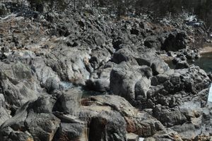
Sauk-Ton-Qua's daughter, Mina Sauk, fell in love with a warrior from a hostile tribe. When the chief killed his daughter's lover by throwing him off of a nearby cliff, Mina followed him over the edge. This incurred the wrath of the mythical Storm King, summoning a hurricane to wipe out Sauk-Ton-Qua's entire tribe. A lightning bolt struck the ground and caused a waterfall to appear, wiping away the blood of the lovers.
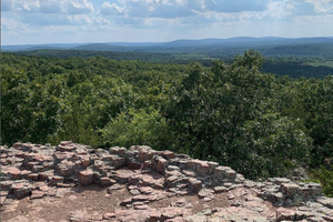
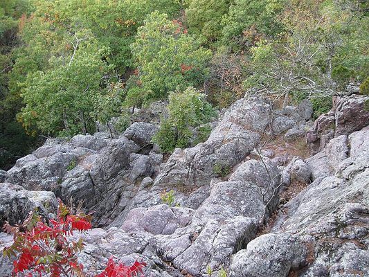
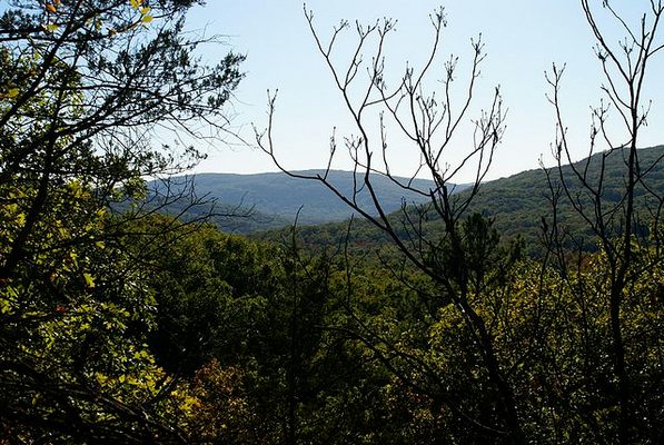
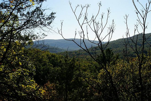
The Ozarks region is full of vertical reliefs and jagged mountains, a good portion of the terrain caused by sedimentary strata erosion. The St. Francois ridge, which Taum Sauk Mountain is a part of, is much, much older than the surrounding Ozark Mountains. While much of the United States started out underneath the waters of ancient seas, Taum Sauk may be one of the very few peaks which would have jutted from the Paleozoic waters as an island.
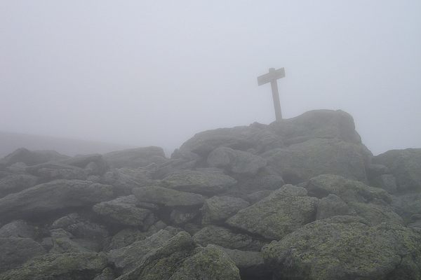
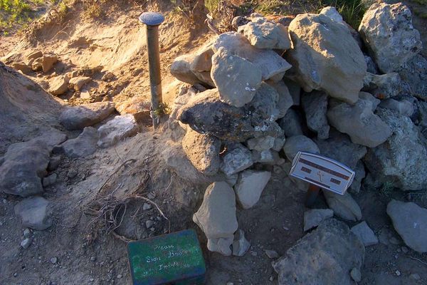
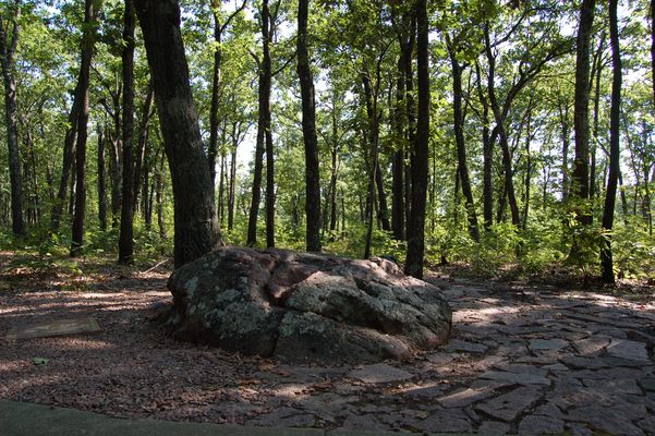
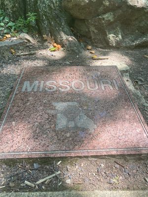
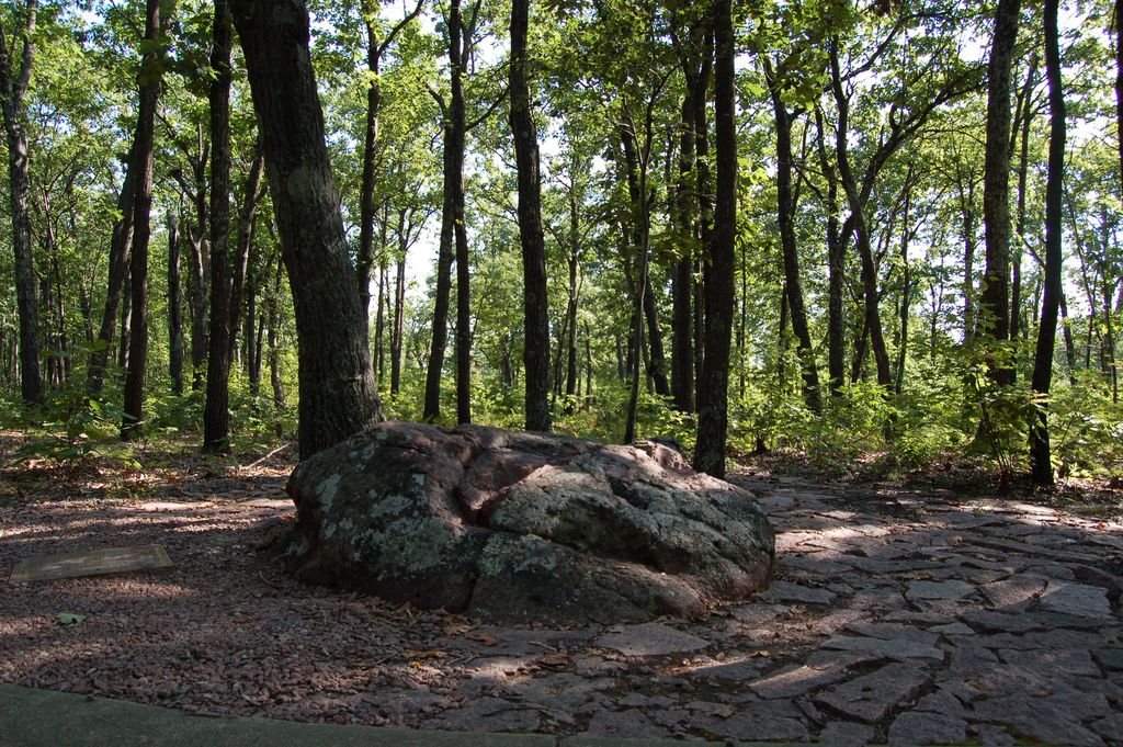
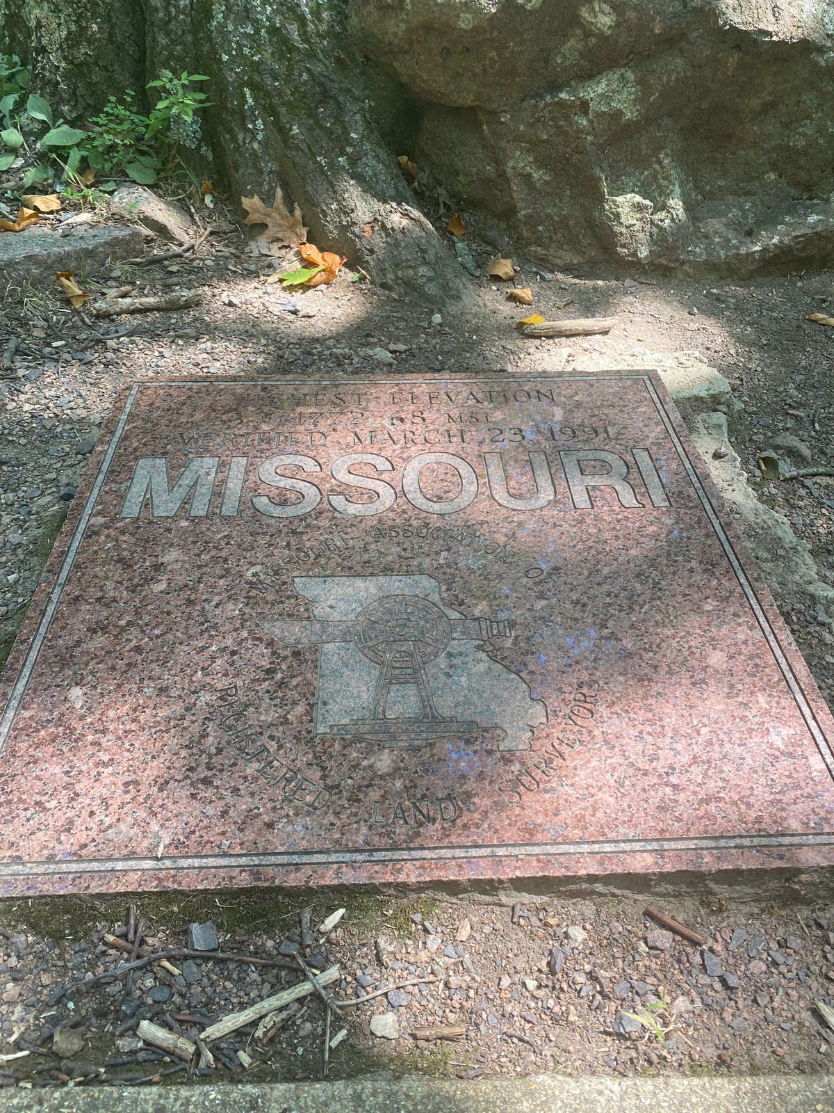
The mountain's peak, which is also the highest point in Missouri is marked by a granite plaque from the Missouri Association of Registered Land Surveyors.
Related Tags
Know Before You Go
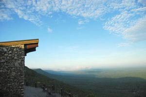
From Arcadia, MO, take Route 21/72 south then turn right at Highway CC to Taum Sauk Mountain State Park. At the fork, the right leads to the parking area and highest point while the left leads to a lookout tower.
Community Contributors
Added By
Published
May 6, 2014