
US Route 50 is one of the first numbered coast-to-coast highways, running from Ocean City, Maryland, to West Sacramento, California. In Nevada it largely coincides with the Lincoln Highway, one of the first named coast-to-coast routes, and Lincoln Highway markers are still found along the route. Through Nevada US-50 crosses a number of substantial mountain passes with elevations around 7500 feet--no doubt to the surprise of those who imagine Nevada to be all flat desert! In addition, only a few settlements, mostly old mining towns, lie on the route. Over the years, therefore, the route now followed by I-80 to the north took the bulk of the through traffic, particularly the commercial traffic, because it was considerably flatter. The resulting dearth of traffic by the late 20th century led to a magazine article, apparently in all seriousness, warning against taking US-50, dubbing it the "Loneliest Road." In a classic case of making lemonade from lemons, the Nevada State Tourism Board embraced the moniker, making it the centerpiece of a promotion of the route. This promotion has been highly successful, as noted below.
The heart of the “loneliest” part lies between the small towns of Ely (pronounced "EE-lee") on the east and Fallon on the west. About 260 miles separate these towns and the drive takes about 5 hours. But just driving straight through would miss the point pretty profoundly. US 50 passes lots of points of interest and they are the subject of this article. Links to these places are embedded in the text. Many are the subject of an Atlas Obscura article themselves. Most are also listed in the margin to the right. A number of optional side trips are also noted, and allow several extra days if you take all the side trips.
This article is structured as a road log, with places of interest marked by the mileage from a zero point, taken as the junction of Nevada SR-116, the Stillwater Road, with US-50 a few miles east of Fallon. The mileage increments to the east.
Mile
0. Junction of Nevada State Route 116 (Stillwater Road) with US 50. Turn here to go to the Stillwater National Wildlife Refuge, where the landlocked Carson River ends in wetlands.
-
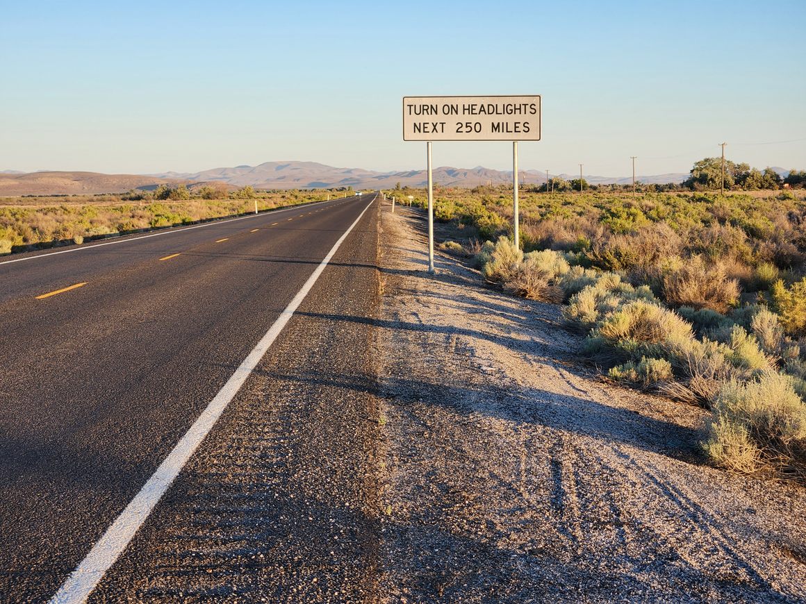
1.1 New sign on US-50, near the western end of the "loneliest" part. Turning on your headlights is a precaution against head-on crashes--which indicates there is more traffic! Nonetheless, the traffic density is still exceedingly low by most standards.
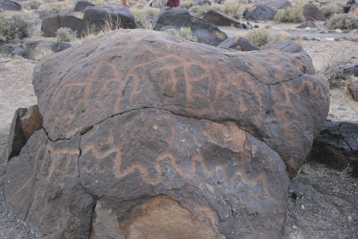
Not so lonely any more! 8.3 Turnoff on the left to Grimes Point and Hidden Cave. This is one of the most important archeological sites in the Great Basin.
20.1 Poorly defined turnoff on the left to a memorial to 5 Navy men killed in a training accident in 1978. This road requires 4wd due to deep sand.
20.2 Turnoff (on the right) to Huck Salt Mine in Fourmile Flat, which has been producing salt under the same family ownership since 1938. However, salt has been produced in the area since the days of the Comstock Lode in the 1860s. The salt is extracted by evaporation of naturally occurring brines.
-
24.1 Turnoff (on the left) to Sand Mountain, a spectacular stationary sand dune that is an official OHV (off-highway vehicle) recreation area. Sand Mountain is also famous as a "singing" dune. Under the right conditions, dropping down a dune slip face yields a surprisingly musical "thrum, thrum, thrum." The dune "sings" when the sand is very dry, in the author's experience, and late August is a good time so long as the dune has not been wetted down by monsoon thunderstorms. However, although the dune is open to foot traffic the OHV activity can make hiking very hazardous. Hiking on the dune tends to be safer on a weekday as vehicle traffic is down.
The Pony Express route from 1860-1861 runs largely parallel to US-50 through here and is often nearby, as it is here. Some 0.8 miles in on the side road to Sand Mountain a turnoff on the left goes to the ruins of the Sand Springs Pony Express Station. Go about 0.6 miles on this road to a small unpaved parking lot. Passenger cars should be able to make it, at least in dry weather. From this lot a footpath, a bit over a tenth of a mile long, leads to the ruins of the old station. There are lots of interpretive signs and you can freely wander among the ruins. (Please don't climb on them, though.) Motorized traffic is also not allowed here.
24.4 Just past the Sand Mountain turnoff on the left are concrete foundations built into the hillside. These mark the site of a tungsten mill active in the early-mid 20th century, probably during World War II. Mills for processing ore were typically built on a slope so that gravity could help move the ore through the processing.
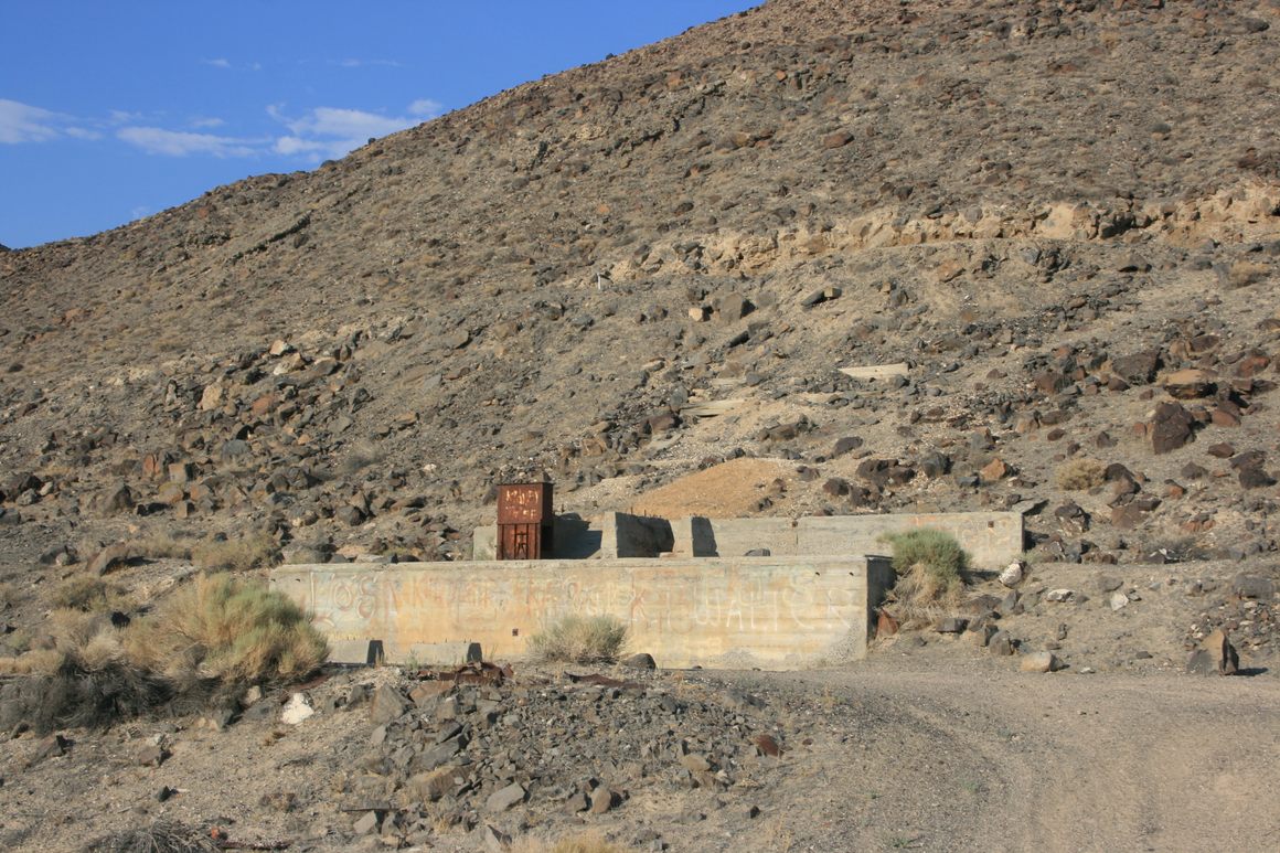
30.0 Nevada SR-839 turnoff (Scheelite Mine Road) on the right. Turn here to go to the Project Shoal nuclear test site. As for the road name, "scheelite," calcium tungstate, is the main ore mineral for tungsten, and an abandoned tungsten mine lies near where the pavement ends, about 16.5 miles down this road from US-50. The obvious military installation south of US-50 and east of NV-839 is the US Naval Reservation.
35.2 Fairview Historical Marker, about 39.28554 N, 118.21488 W. Fairview was an early 20th century mining camp, south of US-50 around Fairview Peak, the prominent high point. The townsite is largely inaccessible to the public now because it's on the military reservation.
38.0 Junction with Nevada SR-121, the Dixie Valley Road. The Dixie Valley fault scarps are reached on primitive trails off this road. Dixie Valley itself was an early-mid twentieth century agricultural settlement. The landowners were bought out by the Navy in 1995 and the townsite is now deserted, although there has since been discussion of leasing out the agricultural lands.
The interpretive sign for Wonder is also at this turnoff on the northeast side. Wonder itself is about 12 miles northeast and was another early 20th century mining camp. It can be accessed on rough dirt roads, but little is left besides the mine site. Wonder was the birthplace of Eva Adams, the Director of the US Mint from 1961-1969.
39.7 Fault Scarps turnoff to the right, signed for "Fairview Peak Earthquake Faults" on the left. Turn right here to go to the 1954 Fairview Peak fault scarp.
-
43.1 To the left the site of the Westgate Mill is visible about 0.15 mile off the highway. It is reachable by a primitive road. Built in 1939, the mill processed gold ore from nearby mines.
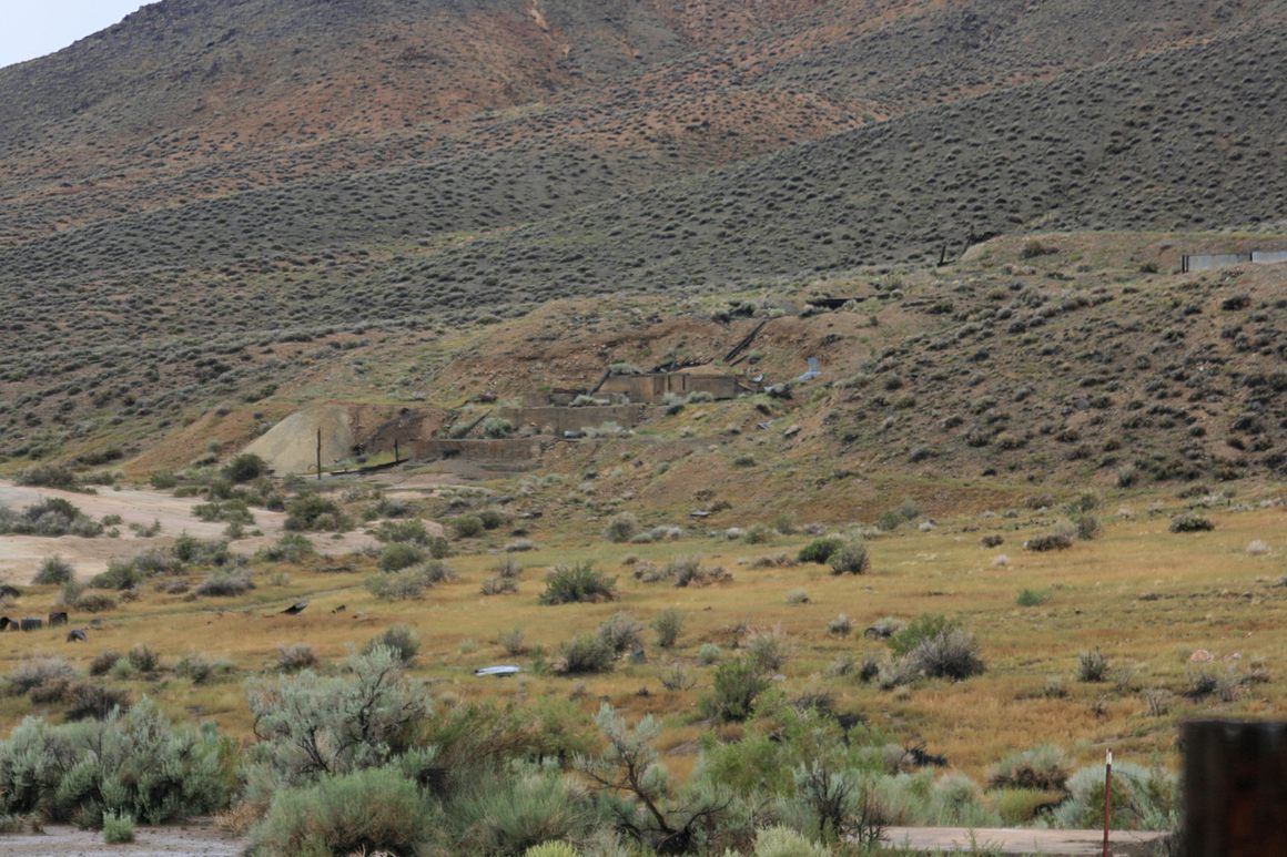
Westgate Mill foundation. To the left (west) of the primitive access road, before it crosses the drainage to the mill, scattered foundations are all that's left of a Civilian Conservation Corps (CCC) camp that was active in the mid-1930s. Remarkably, the now-dry camp swimming pool still exists, centered about 39.29166 N, 118.06917 W.
45.2 Junction on the right with Nevada SR-361, with Middlegate Station just beyond. For a sidetrip, the Gabbs Mine is 31 miles down NV-361. The turnoff onto Nevada SR-844 is about 29.7 miles; Berlin-Ichthyosaur State Park is then about 18.5 miles down SR-844.
47.4 The famous Shoe Tree is on the left.
48.4 Junction with Nevada SR-722 on the right. This is the original alignment of US 50, preserved as a Nevada state route. The present alignment was built in the 1960s to bypass the narrow and twisty part of this original road over Carroll Summit (7452 feet).
-
57.3 Overland stage station, built in 1861, on the left. The Pony Express is also reported to have moved its operations to this building after its construction.
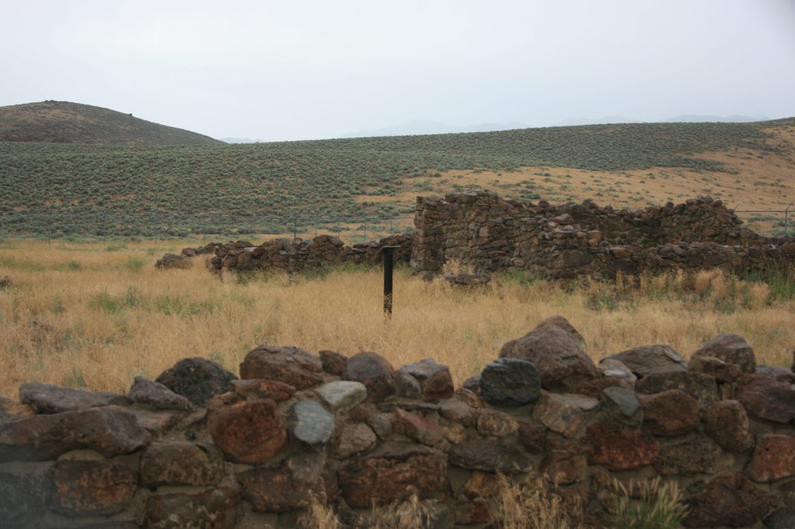
Overland Stage Station near Cold Springs. 57.5 Cold Springs highway rest stop on the right.
57.7 Transcontinental telegraph station, with more information about the Overland Stage and Pony Express.
59.2 Cold Springs Resort. This resort has food, refreshments, a motel and an RV park, but no fuel.
-
82.3 New Pass Stage Station. This was another old stage stop from the 1860s, eventually put out of business by completion of the Transcontinental Railroad.
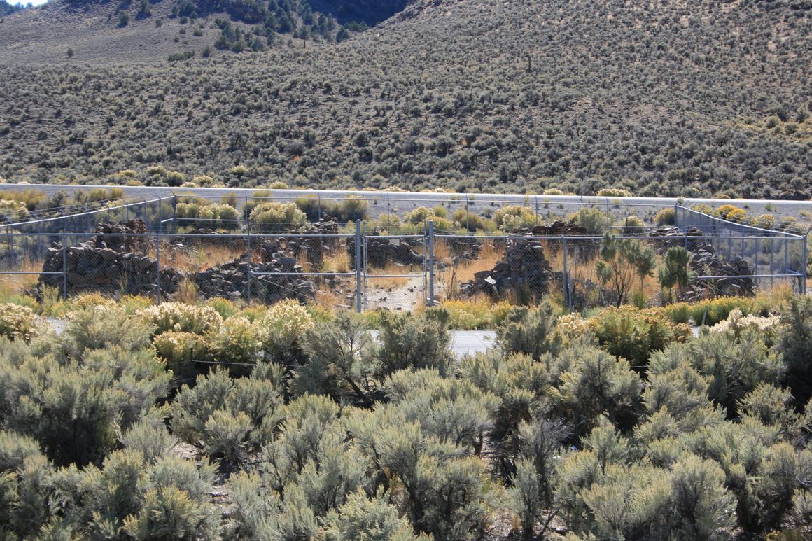
Ruins of New Pass stage station. HIghway 50 behind. 100.6 Reese River crossing. This unprepossessing creek is said to have been named a "river" as part of a 19th-century scam promoting steamboat service(!) on it.
105.3 Junction where NV-722 (old US 50) rejoins the modern alignment.
-
107.4 Turnoff to Clifton Mill on the right. Go 0.2 miles to see the ruins of the old mill. The ruins are privately owned, so please view from a distance. In the 1860s the mining camps Clifton and Austin had a spirited rivalry, but only Austin has survived to the present.
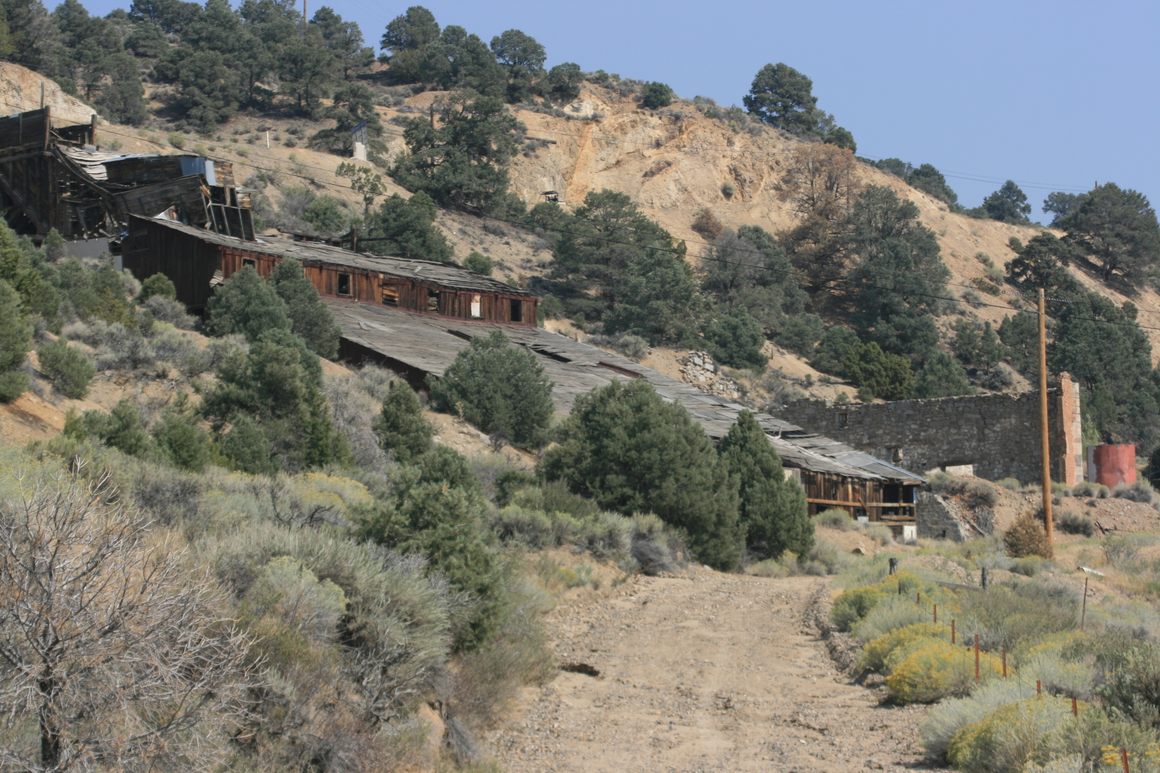
Ruins of Clifton Mill outside Austin. 108.1 Stokes Castle road in Austin. Turn here to go to Stokes Castle.
-
108.4 Original Lander County Courthouse on the right. Austin was the original county seat of Lander County, but by popular vote the seat was shifted to Battle Mountain in 1980. It was common in the 19th century for western towns to vie for the country seat, but for a county to change its seat in the late 20th century was a blast from the past.
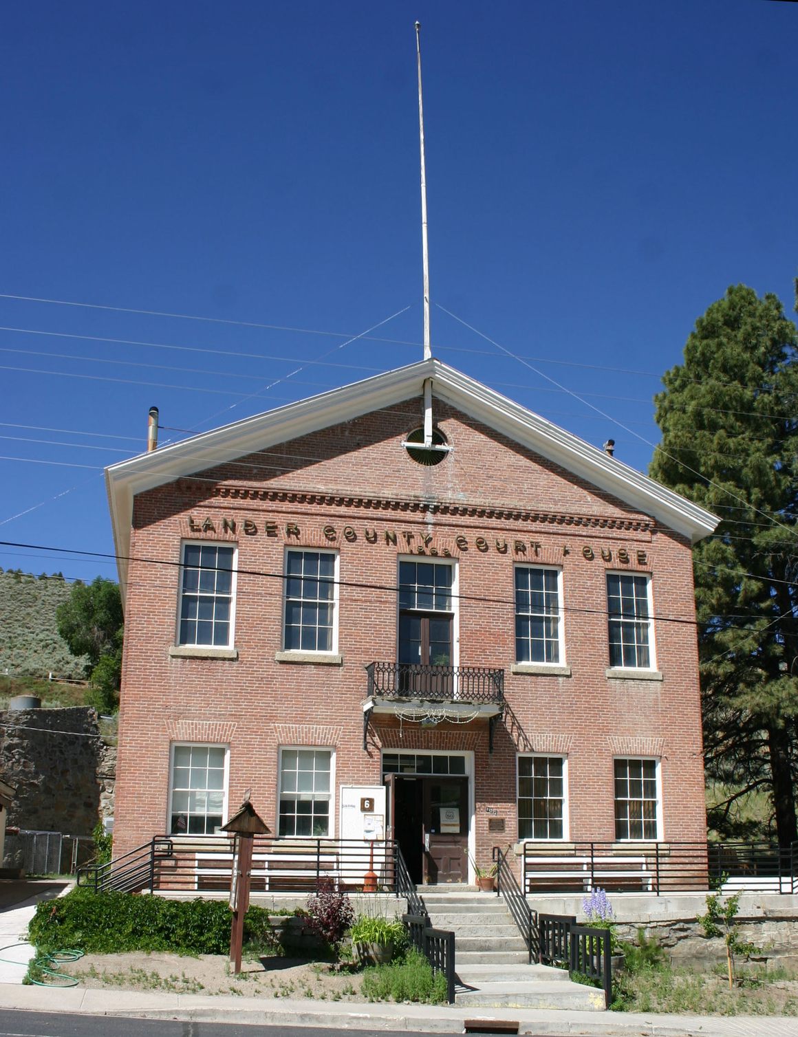
Old Lander County Courthouse in Austin. The street in the foreground is US-50. 111.4 Austin Summit, crossing the Toiyabe (pronounced "toy-YAH-bee") Range. This is the second-highest pass (7484 feet) on this part of US-50. The Toiyabe Range runs some 100 miles north-south through central Nevada and contains summits over 11,000 feet. A US National Recreation Trail, the Toiyabe Crest Trail, extends through much of the high part of the range to the south.
-
115.1 Bob Scott Summit (7267 feet), named for a mid-20th century forest ranger, crosses a spur off the Toiyabe Range. A US Forest Service campground (closed for renovations at this writing), also named for Scott, is on the left. On the right side of the highway, across from the campground entrance, is a historical marker about the surveyors who crossed the Great Basin in the mid-19th century.
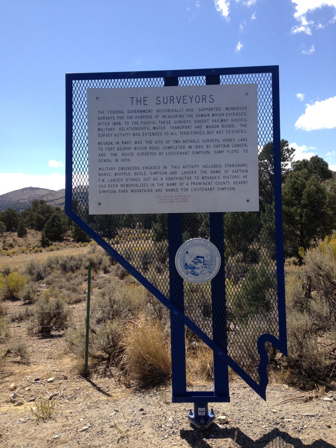
Sign at Bob Scott Summit (Photo: Famartin / Wikimedia Commons) -
120.1 Junction with Nevada SR-376 on the right. This highway extends south down Big Smoky Valley, a long, wide valley between the Toiyabe Range on the west and the Toquima Range on the east. The graded side road (USFS-601) to Toquima Cave turns off to the left in 0.3 miles, and is prominent as it heads nearly straight southeasterly. Spencer Hot Springs, which is publicly accessible, is also off USFS-601. Go 5.5 miles, turn right, go about 400 ft, and then go another 1.3 miles.
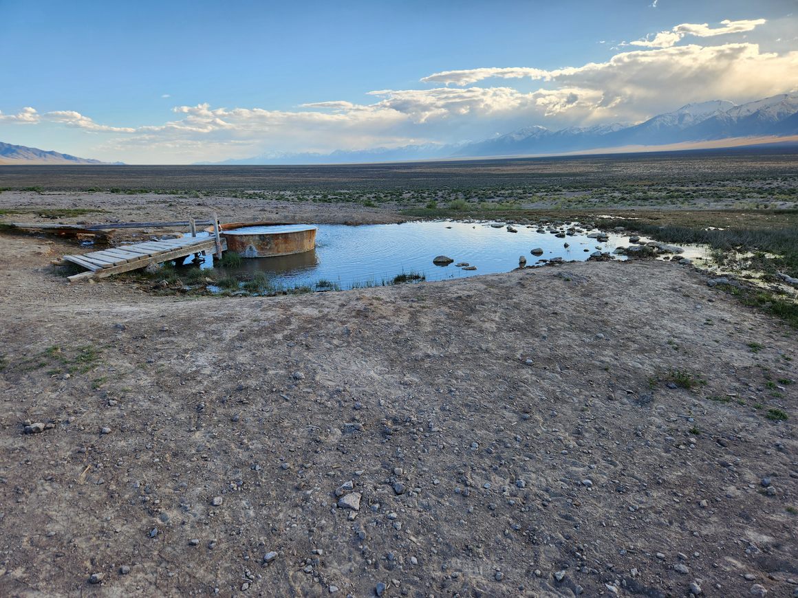
One of the pools at Spencer Hot Springs. Looking south down Big Smoky Valley; Toiyabe Range to the right. The nearest trailhead on the Toiyabe Crest Trail is in Kingston Canyon. Go 15.6 miles on NV-376 and turn right toward the village of Kingston. Stay on the main road through town for about 8 miles; the trailhead is obvious on your left. It is past Groves Lake.
The turnoff to Ophir is 35.5 miles. As noted in that place writeup, the road all the way to Ophir is exceedingly rough and will require a capable 4wd vehicle. The enormous Round Mountain gold mine is some 52.2 miles from US-50. This mine opened in the early 20th century and has been running more or less continuously since.
Gas and lodging are available in Carvers, about 47 miles from US-50.
132.9 Hickison Summit, which includes a primitive campground, a interpretive trail among stunning petroglyphs, and a network of hiking trails.
(Continue in Part 2)


