


Discover your next amazing Atlas Place.
Get more unusual and extraordinary places each week with the Atlas Obscura Places newsletter.
Your newsletter subscriptions with us are subject to Atlas Obscura's Privacy Policy and Terms of Use.
Plan on motorbiking or off-roading across the United States? The TransAmerica Trail offers more than 5,900 miles of continuous recreational pathways for adventurers to cross. From the Appalachian foothills of Tennessee to the rocky, dramatic Oregon Coast, the TAT passes through old-growth forests, rolling hills, scenic farmland, and strikingly beautiful mountain ranges.
The TransAmerica trail was meant to be a cross-country path far from America’s busy interstate highways and mainstream landmarks. That said, those traveling the TAT will skirt several famous national parks, including the Great Smoky Mountains, Arches, and Crater Lake.
If you find yourself on the TransAmerica Trail, these lesser-known stops in or near the national parks are worth a detour. And if the trail represents anything, it’s a willingness to slow down, take in the surroundings, and appreciate the varied beauty the United States has to offer. Once you’ve dipped your tires in the Pacific Ocean, you’ll realize the destination was second to the ride itself.
Your newsletter subscriptions with us are subject to Atlas Obscura's Privacy Policy and Terms of Use.
Presented by Ford, which has partnered with Google Maps to put the entire 5,900-mile TransAmerica Trail on Street View for the first time. Whether you’re planning to go cross country or head out on a weekend adventure, scout out the trail on Street View, challenge yourself, and let your Ford handle the rest. Learn more about the full story here.




Including Cisternerne, Forgotten Giants, and Your Rainbow Panorama
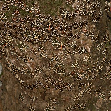
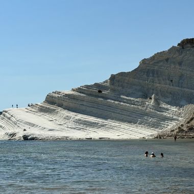
Dazzling destinations that evoke Homer’s epic.
Including Tophet at Carthage, Valley of the Butterflies, and Scala dei Turchi


Follow us on Twitter to get the latest on the world's hidden wonders.
Like us on Facebook to get the latest on the world's hidden wonders.
Follow us on Twitter Like us on Facebook